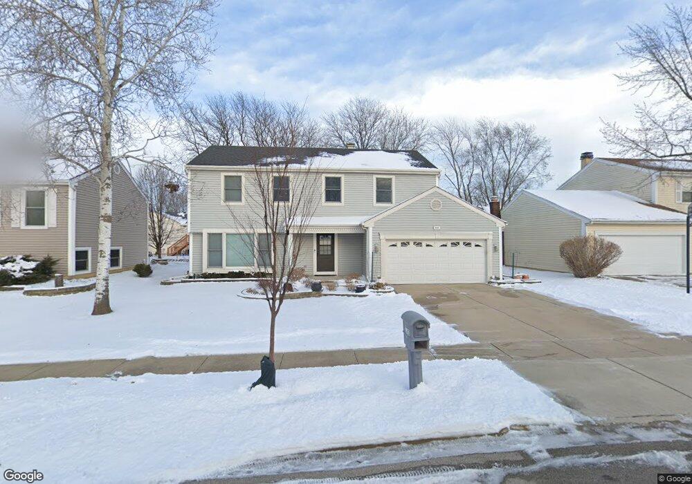
643 Brian Ave Schaumburg, IL 60194
West Schaumburg NeighborhoodEstimated Value: $447,677 - $568,000
4
Beds
3
Baths
1,992
Sq Ft
$256/Sq Ft
Est. Value
About This Home
This home is located at 643 Brian Ave, Schaumburg, IL 60194 and is currently estimated at $509,169, approximately $255 per square foot. 643 Brian Ave is a home located in Cook County with nearby schools including Elizabeth Blackwell Elementary School, Jane Addams Junior High School, and Schaumburg High School.
Ownership History
Date
Name
Owned For
Owner Type
Purchase Details
Closed on
Sep 18, 2023
Sold by
Patel Surendra R
Bought by
Patel Surendra R and Surendra Rambhai Patel Living Trust
Current Estimated Value
Purchase Details
Closed on
Apr 7, 2023
Sold by
Patel Surendra R and Patel Minaxi S
Bought by
Patel Surendra R and Patel Minaxi S
Create a Home Valuation Report for This Property
The Home Valuation Report is an in-depth analysis detailing your home's value as well as a comparison with similar homes in the area
Home Values in the Area
Average Home Value in this Area
Purchase History
We collect this data history from publicly available records. To have your information removed, we recommend requesting removal directly through your county’s website.
| Date | Buyer | Sale Price | Title Company |
|---|---|---|---|
| Patel Surendra R | -- | None Listed On Document | |
| Patel Surendra R | -- | Chicago Title |
Source: Public Records
Tax History
| Year | Tax Paid | Tax Assessment Tax Assessment Total Assessment is a certain percentage of the fair market value that is determined by local assessors to be the total taxable value of land and additions on the property. | Land | Improvement |
|---|---|---|---|---|
| 2025 | $6,969 | $45,000 | $7,475 | $37,525 |
| 2024 | $6,969 | $30,848 | $6,175 | $24,673 |
| 2023 | $7,856 | $30,848 | $6,175 | $24,673 |
| 2022 | $7,856 | $35,079 | $6,175 | $28,904 |
| 2021 | $6,691 | $28,069 | $4,225 | $23,844 |
| 2020 | $7,565 | $30,982 | $4,225 | $26,757 |
| 2019 | $7,573 | $34,425 | $4,225 | $30,200 |
| 2018 | $6,559 | $28,037 | $3,575 | $24,462 |
| 2017 | $6,487 | $28,037 | $3,575 | $24,462 |
| 2016 | $6,821 | $28,973 | $3,575 | $25,398 |
| 2015 | $6,032 | $24,660 | $3,087 | $21,573 |
| 2014 | $7,193 | $26,878 | $3,087 | $23,791 |
| 2013 | $6,991 | $26,878 | $3,087 | $23,791 |
Source: Public Records
Map
Nearby Homes
- 639 Shaw Ct
- 718 Newton Ct
- 611 Kendall Ct
- 2227 Denton Ct
- 2312 Hyde Ct
- 2013 Briar Hill Dr
- 2109 Hitching Post Ln
- 2115 Hitching Post Ln
- 2323 Oxhill Ct Unit 843
- 505 Tebay Place
- 815 Mansfield Ct
- 819 Mansfield Ct Unit 2
- 2136 Southwind Cir Unit 91E1
- 1808 Largo Ct Unit 2
- 1914 Quaker Hollow Ln Unit 14
- 228 N Walnut Ln
- 2012 Quaker Hollow Ln Unit 12
- 62 Winding Run Ln Unit 1624
- 1975 Windsong Dr Unit 333E1
- 1813 Lancashire Ct Unit 3
Your Personal Tour Guide
Ask me questions while you tour the home.