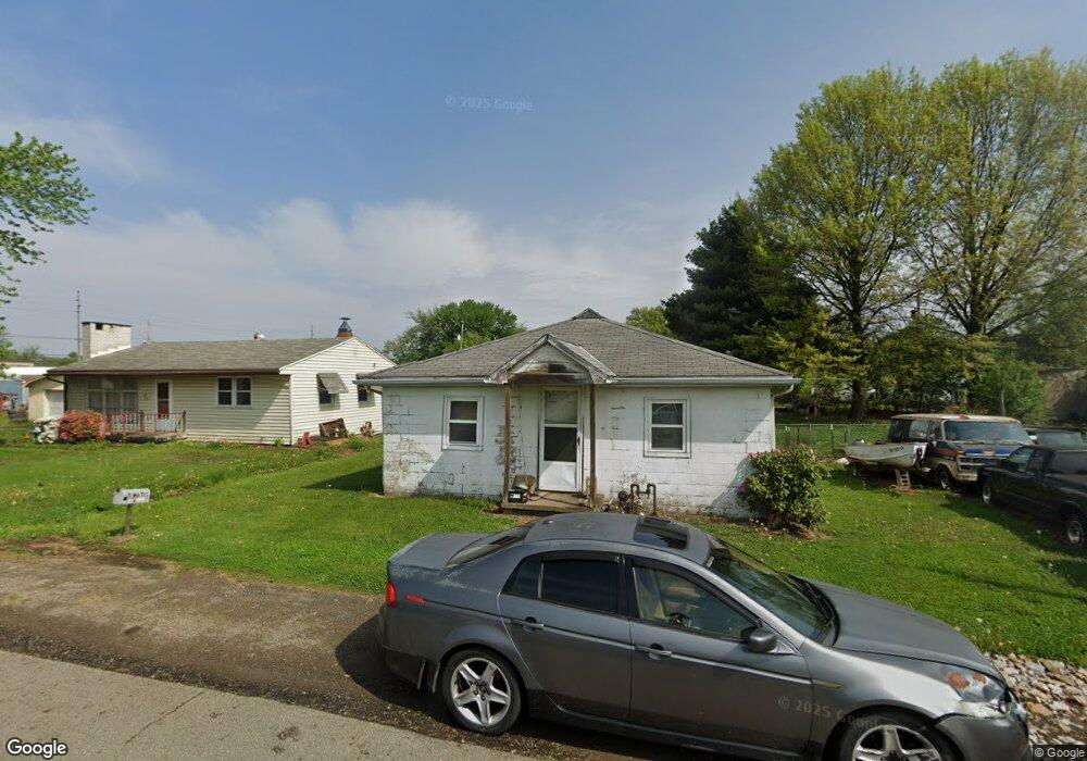
644 Custer Dr Coshocton, OH 43812
Coshocton AreaEstimated Value: $75,033 - $124,000
About This Home
This home is located at 644 Custer Dr, Coshocton, OH 43812 and is currently estimated at $94,008, approximately $108 per square foot. 644 Custer Dr is a home located in Coshocton County with nearby schools including Coshocton Elementary School, Coshocton High School, and Coshocton Opportunity School.
Ownership History
We collect this data history from publicly available records. To have your information removed, we recommend requesting removal directly through your county’s website.
Purchase Details
Purchase Details
Home Values in the Area
Average Home Value in this Area
Purchase History
We collect this data history from publicly available records. To have your information removed, we recommend requesting removal directly through your county’s website.
| Date | Buyer | Sale Price | Title Company |
|---|---|---|---|
| -- | None Available | ||
| -- | -- |
Tax History
We collect this data history from publicly available records. To have your information removed, we recommend requesting removal directly through your county’s website.
| Year | Tax Paid | Tax Assessment Tax Assessment Total Assessment is a certain percentage of the fair market value that is determined by local assessors to be the total taxable value of land and additions on the property. | Land | Improvement |
|---|---|---|---|---|
| 2025 | $449 | $10,040 | $4,260 | $5,780 |
| 2024 | $412 | $10,040 | $4,260 | $5,780 |
| 2023 | $412 | $8,523 | $3,273 | $5,250 |
| 2022 | $421 | $8,523 | $3,273 | $5,250 |
| 2021 | $402 | $8,523 | $3,273 | $5,250 |
| 2020 | $379 | $7,648 | $2,940 | $4,708 |
| 2019 | $384 | $7,648 | $2,940 | $4,708 |
| 2018 | $382 | $7,648 | $2,940 | $4,708 |
| 2017 | $391 | $7,589 | $2,881 | $4,708 |
| 2016 | $375 | $7,589 | $2,881 | $4,708 |
| 2015 | $188 | $7,589 | $2,881 | $4,708 |
| 2014 | $322 | $6,504 | $2,881 | $3,623 |
Map
- 1203 Cemetery Dr
- 1109 Cemetery Dr
- 805 Denman Ave
- 730 Otsego Ave
- 645 Alder St
- 1014 Denman Ave
- 1104 Herbig Ave
- 722 John St
- 808 Kenilworth Ave
- 922 Pine St
- 391 S 9th St
- 1134 Kenilworth Ave
- Lot# 7, S 12th St
- 369-371 S 5th St
- Lot 8 Country Club Dr
- 341 Hamilton Ave
- 1505 Nicholear Ave
- 1337 Canoe Ln
- 839 Orange St
- Lot 4 Country Club Dr
Ask me questions while you tour the home.