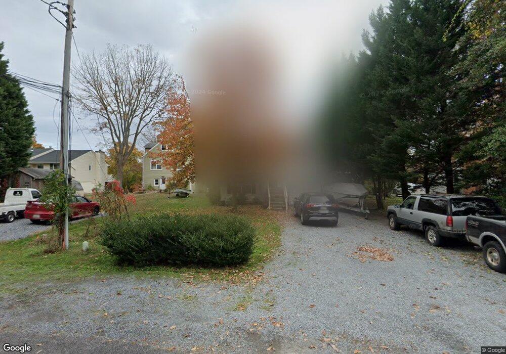
644 Laurel Dr Pasadena, MD 21122
Estimated Value: $431,000 - $682,223
Studio
2
Baths
748
Sq Ft
$749/Sq Ft
Est. Value
About This Home
This home is located at 644 Laurel Dr, Pasadena, MD 21122 and is currently estimated at $560,056, approximately $748 per square foot. 644 Laurel Dr is a home located in Anne Arundel County with nearby schools including Lake Shore Elementary School, Chesapeake Bay Middle School, and Chesapeake High School.
Ownership History
Date
Name
Owned For
Owner Type
Purchase Details
Closed on
Jul 7, 2025
Sold by
Duvall Lloyd Diane and Lloyd Roland M
Bought by
Lloyd Family Irrevocable Trust and Wallace
Current Estimated Value
Purchase Details
Closed on
Jul 29, 1998
Sold by
Zunt Lilly M
Bought by
Lloyd Roland M and Lloyd Diane Duvall
Purchase Details
Closed on
Apr 28, 1997
Sold by
Zunt Gerald J
Bought by
Zunt Lilly M
Create a Home Valuation Report for This Property
The Home Valuation Report is an in-depth analysis detailing your home's value as well as a comparison with similar homes in the area
Home Values in the Area
Average Home Value in this Area
Purchase History
| Date | Buyer | Sale Price | Title Company |
|---|---|---|---|
| Lloyd Family Irrevocable Trust | -- | None Listed On Document | |
| Lloyd Roland M | $159,900 | -- | |
| Zunt Lilly M | -- | -- |
Source: Public Records
Mortgage History
| Date | Status | Borrower | Loan Amount |
|---|---|---|---|
| Closed | Lloyd Roland M | -- |
Source: Public Records
Tax History
| Year | Tax Paid | Tax Assessment Tax Assessment Total Assessment is a certain percentage of the fair market value that is determined by local assessors to be the total taxable value of land and additions on the property. | Land | Improvement |
|---|---|---|---|---|
| 2025 | $4,257 | $602,700 | -- | -- |
| 2024 | $4,257 | $504,600 | $380,700 | $123,900 |
Source: Public Records
Map
Nearby Homes
Your Personal Tour Guide
Ask me questions while you tour the home.