Estimated Value: $609,000 - $9,584,000
2
Beds
2
Baths
2,152
Sq Ft
$1,389/Sq Ft
Est. Value
About This Home
This home is located at 6450 Graff Rd, Delta, CO 81416 and is currently estimated at $2,988,295, approximately $1,388 per square foot. 6450 Graff Rd is a home located in Delta County with nearby schools including Garnet Mesa Elementary School, Lincoln Elementary School, and Delta Middle School.
Ownership History
Date
Name
Owned For
Owner Type
Purchase Details
Closed on
Jan 15, 2025
Sold by
J Graff Enterprises and J Graff Enterprises Llc
Bought by
Bsg Land Holdings Llc
Current Estimated Value
Purchase Details
Closed on
Aug 12, 2024
Sold by
Twin River Dairies Ltd
Bought by
J Graff Enterprises Llc
Purchase Details
Closed on
Jul 20, 2022
Sold by
Graff Veneta A
Bought by
J Graff Enterprises
Purchase Details
Closed on
Nov 19, 2018
Sold by
Dragg Vehta A and Dragg Gard C
Bought by
J Jaff Enterprise
Create a Home Valuation Report for This Property
The Home Valuation Report is an in-depth analysis detailing your home's value as well as a comparison with similar homes in the area
Purchase History
| Date | Buyer | Sale Price | Title Company |
|---|---|---|---|
| Bsg Land Holdings Llc | -- | Land Title | |
| Bsg Land Holdings Llc | $8,850,000 | Land Title | |
| Bsg Land Holdings Llc | -- | Land Title | |
| Bsg Land Holdings Llc | $8,850,000 | Land Title | |
| J Graff Enterprises Llc | -- | Land Title Guarantee | |
| J Graff Enterprises | -- | None Listed On Document | |
| Enterprises J Graff | -- | None Listed On Document | |
| J Jaff Enterprise | -- | None Available |
Source: Public Records
Tax History
| Year | Tax Paid | Tax Assessment Tax Assessment Total Assessment is a certain percentage of the fair market value that is determined by local assessors to be the total taxable value of land and additions on the property. | Land | Improvement |
|---|---|---|---|---|
| 2024 | $4,565 | $68,984 | $30,207 | $38,777 |
| 2023 | $4,565 | $69,019 | $30,242 | $38,777 |
| 2022 | $4,447 | $68,901 | $28,834 | $40,067 |
| 2021 | $4,656 | $73,513 | $31,673 | $41,840 |
| 2020 | $4,222 | $65,691 | $29,236 | $36,455 |
| 2019 | $4,164 | $65,483 | $29,236 | $36,247 |
| 2018 | $4,769 | $72,298 | $32,929 | $39,369 |
| 2017 | $4,648 | $72,528 | $32,929 | $39,599 |
| 2016 | $3,713 | $63,461 | $30,182 | $33,279 |
| 2014 | -- | $51,155 | $22,115 | $29,040 |
Source: Public Records
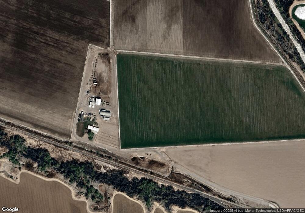
Map
Nearby Homes
- 14414 G Rd
- 6038 Townsend Rd
- 14885 G Rd
- 14473 Deer Run Rd
- 6493 Townsend Rd
- TBD 1500 Ct
- 304 W 3rd St
- 167 Gunnison River Dr
- 222 Dodge St
- 531 Columbia St
- 337 & 341 Palmer St
- 1449 Highway 50
- 775 Columbia St
- 676 Highway 50 Unit 44
- 727 1550 Rd
- 216 Meeker St
- 303 Eaton Ct
- 1532 U S 50
- 1491 Highway 50 Unit 64
- 207 Grand Ave
- 6450 Graff Rd
- TBD Graff Rd
- 6496 Townsend Rd
- 14485 G Rd
- 14821 G Rd
- 14705 G Rd
- 14470 G Rd
- 14488 G Rd
- 14404 G Rd
- 6122 Townsend Rd
- 6160 Graff Rd
- 14697 G Rd
- 14332 G Rd
- 6158 Graff Rd
- 6130 Townsend Rd
- 0 Graff Rd Unit 757092
- 0 Graff Rd Unit 755192
- 0 Graff Rd Unit 739194
- 0 Graff Rd Unit 697571
- 0 Graff Rd Unit 735044
Your Personal Tour Guide
Ask me questions while you tour the home.