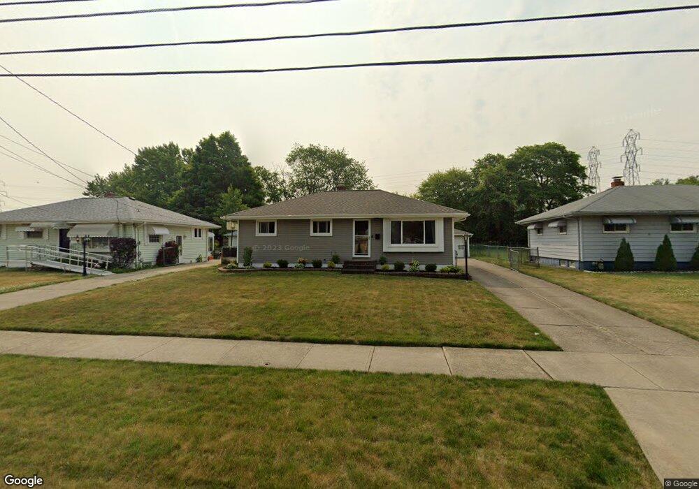
6459 Michael Dr Brookpark, OH 44142
Brook Park AreaEstimated Value: $197,000 - $211,671
About This Home
This home is located at 6459 Michael Dr, Brookpark, OH 44142 and is currently estimated at $205,918, approximately $208 per square foot. 6459 Michael Dr is a home located in Cuyahoga County with nearby schools including Berea-Midpark Middle School, Berea-Midpark High School, and Huber Heights Preparatory Academy Parma Academy.
Ownership History
We collect this data history from publicly available records. To have your information removed, we recommend requesting removal directly through your county’s website.
Purchase Details
Home Financials for this Owner
Home Financials are based on the most recent Mortgage that was taken out on this home.Purchase Details
Home Financials for this Owner
Home Financials are based on the most recent Mortgage that was taken out on this home.Purchase Details
Purchase Details
Purchase Details
Home Values in the Area
Average Home Value in this Area
Purchase History
We collect this data history from publicly available records. To have your information removed, we recommend requesting removal directly through your county’s website.
| Date | Buyer | Sale Price | Title Company |
|---|---|---|---|
| $105,000 | Patriot | ||
| -- | -- | ||
| -- | -- | ||
| $59,000 | -- | ||
| -- | -- |
Mortgage History
We collect this data history from publicly available records. To have your information removed, we recommend requesting removal directly through your county’s website.
| Date | Status | Borrower | Loan Amount |
|---|---|---|---|
| Open | $50,000 | ||
| Closed | $22,000 | ||
| Open | $88,000 | ||
| Previous Owner | $93,000 | ||
| Previous Owner | $21,000 |
Tax History
We collect this data history from publicly available records. To have your information removed, we recommend requesting removal directly through your county’s website.
| Year | Tax Paid | Tax Assessment Tax Assessment Total Assessment is a certain percentage of the fair market value that is determined by local assessors to be the total taxable value of land and additions on the property. | Land | Improvement |
|---|---|---|---|---|
| 2025 | $3,106 | $61,950 | $12,880 | $49,070 |
| 2024 | $3,124 | $61,950 | $12,880 | $49,070 |
| 2023 | $2,977 | $48,870 | $10,750 | $38,120 |
| 2022 | $2,956 | $48,860 | $10,750 | $38,120 |
| 2021 | $2,938 | $48,860 | $10,750 | $38,120 |
| 2020 | $2,649 | $38,780 | $8,540 | $30,240 |
| 2019 | $2,570 | $110,800 | $24,400 | $86,400 |
| 2018 | $2,448 | $38,780 | $8,540 | $30,240 |
| 2017 | $2,532 | $35,430 | $7,600 | $27,830 |
| 2016 | $2,511 | $35,430 | $7,600 | $27,830 |
| 2015 | $2,356 | $35,430 | $7,600 | $27,830 |
| 2014 | $2,356 | $35,430 | $7,600 | $27,830 |
Map
- 6444 Schaaf Dr
- 6379 Edgehurst Dr
- 6377 Ledgebrook Dr
- 6176 Carol Dr
- 15504 Roxboro Dr
- 15500 Richard Dr
- 15424 Holland Rd
- 6526 Stonecrest Dr
- 15541 Susan Dr
- 6130 Smith Rd
- 6391 Almont Dr
- 13901 Franklyn Blvd
- 16124 Holland Rd
- 16457 Emerald Point Unit B16457
- 14121 Donald Dr
- 6804 Meadow Ln
- 13963 Havendale Dr
- 13370 Newton Rd
- 6115 Fry Rd
- 6720 Benedict Dr
- 6453 Michael Dr
- 6465 Michael Dr
- 6447 Michael Dr
- 6471 Michael Dr
- 6441 Michael Dr
- 6479 Michael Dr
- 6433 Michael Dr
- 6487 Michael Dr
- 6444 Michael Dr
- 6462 Michael Dr
- 6456 Michael Dr
- 6470 Michael Dr
- 6450 Michael Dr
- 6484 Michael Dr
- 6402 Wolf Rd
- 6394 Wolf Rd
- 6438 Michael Dr
- 6412 Wolf Rd
- 6425 Michael Dr
- 6495 Michael Dr
Ask me questions while you tour the home.