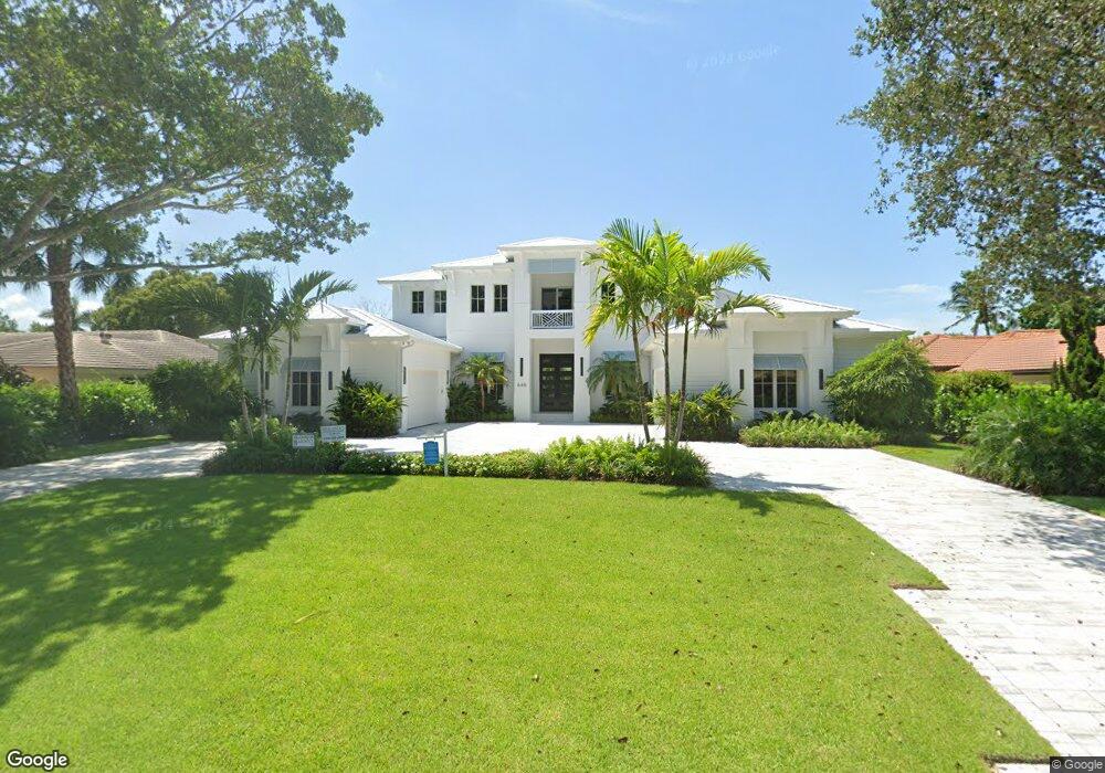
646 Anchor Rode Dr Unit 19 Naples, FL 34103
Moorings NeighborhoodEstimated Value: $7,003,000 - $7,808,000
Studio
6
Baths
3,480
Sq Ft
$2,123/Sq Ft
Est. Value
About This Home
This home is located at 646 Anchor Rode Dr Unit 19, Naples, FL 34103 and is currently estimated at $7,389,417, approximately $2,123 per square foot. 646 Anchor Rode Dr Unit 19 is a home located in Collier County with nearby schools including Naples High School, Sea Gate Elementary School, and Gulfview Middle School.
Ownership History
Date
Name
Owned For
Owner Type
Purchase Details
Closed on
Mar 4, 2025
Sold by
646 Anchor Rode Investment Partners Llc
Bought by
Tgh Ii Llc
Current Estimated Value
Purchase Details
Closed on
Oct 25, 2021
Sold by
Geroy Todd Garner and Geroy Christopher Doving
Bought by
646 Anchor Rode Investment Prtners Llc
Purchase Details
Closed on
Aug 27, 2021
Sold by
Geroy Robert D
Bought by
Geroy Robert D and Geroy Todd Garner
Purchase Details
Closed on
Apr 30, 1998
Sold by
Garner Violet M
Bought by
Geroy Kay Joan Garner
Create a Home Valuation Report for This Property
The Home Valuation Report is an in-depth analysis detailing your home's value as well as a comparison with similar homes in the area
Home Values in the Area
Average Home Value in this Area
Purchase History
| Date | Buyer | Sale Price | Title Company |
|---|---|---|---|
| Tgh Ii Llc | $8,550,000 | None Listed On Document | |
| 646 Anchor Rode Investment Prtners Llc | $2,200,000 | Attorney | |
| Geroy Robert D | -- | Accommodation | |
| Geroy Kay Joan Garner | -- | -- |
Source: Public Records
Tax History
| Year | Tax Paid | Tax Assessment Tax Assessment Total Assessment is a certain percentage of the fair market value that is determined by local assessors to be the total taxable value of land and additions on the property. | Land | Improvement |
|---|---|---|---|---|
| 2025 | $18,672 | $5,922,987 | $1,976,000 | $3,946,987 |
| 2024 | $17,985 | $1,976,930 | -- | -- |
| 2023 | $17,985 | $1,797,209 | -- | -- |
| 2022 | $18,166 | $1,852,491 | $1,611,960 | $240,531 |
| 2021 | $3,377 | $367,672 | $0 | $0 |
| 2020 | $3,056 | $362,596 | $0 | $0 |
| 2019 | $3,008 | $354,444 | $0 | $0 |
| 2018 | $2,934 | $347,835 | $0 | $0 |
| 2017 | $2,881 | $340,681 | $0 | $0 |
| 2016 | $2,829 | $333,674 | $0 | $0 |
| 2015 | $2,891 | $331,355 | $0 | $0 |
| 2014 | $2,901 | $228,725 | $0 | $0 |
Source: Public Records
Map
Nearby Homes
- 600 Anchor Rode Dr
- 595 Regatta Rd
- 626 Regatta Rd
- 695 Regatta Rd
- 628 Binnacle Dr
- 538 Riviera Dr
- 612 Binnacle Dr
- 3280 Crayton Rd
- 626 Fountainhead Ln
- 600 Portside Dr
- 777 Binnacle Dr
- 3433 Crayton Rd
- 788 Riviera Dr
- 3453 Crayton Rd
- 3540 Crayton Rd
- 641 Starboard Dr
- 655 Starboard Dr
- 3720 Parkview Way
- 275 Bahia Point
- 3200 Binnacle Dr Unit C1
- 646 Anchor Rode Dr
- 650 Anchor Rode Dr
- 636 Anchor Rode Dr
- 665 Regatta Rd
- 675 Regatta Rd
- 675 Regatta Rd
- 655 Regatta Rd
- 616 Anchor Rode Dr
- 645 Anchor Rode Dr
- 695 Regatta Rd Unit 28
- 635 Anchor Rode Dr
- 625 Regatta Rd
- 655 Anchor Rode Dr
- 700 Anchor Rode Dr
- 625 Anchor Rode Dr
- 701 Regatta Rd
- 675 Anchor Rode Dr
- 605 Regatta Rd Unit 7
- 605 Anchor Rode Dr
Your Personal Tour Guide
Ask me questions while you tour the home.