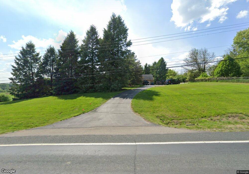
6464 N Maple Rd Saline, MI 48176
Estimated Value: $608,098 - $687,000
3
Beds
2
Baths
1,913
Sq Ft
$340/Sq Ft
Est. Value
About This Home
This home is located at 6464 N Maple Rd, Saline, MI 48176 and is currently estimated at $649,775, approximately $339 per square foot. 6464 N Maple Rd is a home located in Washtenaw County with nearby schools including Woodland Meadows Elementary School, Heritage School, and Saline Middle School.
Ownership History
Date
Name
Owned For
Owner Type
Purchase Details
Closed on
Jun 8, 1998
Sold by
Rushmore Charles D
Bought by
Ghuneim John G and Ghuneim Martha M
Current Estimated Value
Home Financials for this Owner
Home Financials are based on the most recent Mortgage that was taken out on this home.
Original Mortgage
$218,700
Outstanding Balance
$44,782
Interest Rate
7.32%
Mortgage Type
New Conventional
Estimated Equity
$604,993
Create a Home Valuation Report for This Property
The Home Valuation Report is an in-depth analysis detailing your home's value as well as a comparison with similar homes in the area
Home Values in the Area
Average Home Value in this Area
Purchase History
We collect this data history from publicly available records. To have your information removed, we recommend requesting removal directly through your county’s website.
| Date | Buyer | Sale Price | Title Company |
|---|---|---|---|
| Ghuneim John G | $243,000 | -- |
Source: Public Records
Mortgage History
We collect this data history from publicly available records. To have your information removed, we recommend requesting removal directly through your county’s website.
| Date | Status | Borrower | Loan Amount |
|---|---|---|---|
| Open | Ghuneim John G | $218,700 |
Source: Public Records
Tax History
| Year | Tax Paid | Tax Assessment Tax Assessment Total Assessment is a certain percentage of the fair market value that is determined by local assessors to be the total taxable value of land and additions on the property. | Land | Improvement |
|---|---|---|---|---|
| 2025 | $4,924 | $284,034 | $0 | $0 |
| 2024 | $4,785 | $258,669 | $0 | $0 |
| 2023 | $4,565 | $248,100 | $0 | $0 |
| 2022 | $6,206 | $234,900 | $0 | $0 |
| 2021 | $6,040 | $231,200 | $0 | $0 |
| 2020 | $5,783 | $231,900 | $0 | $0 |
| 2019 | $5,636 | $213,800 | $213,800 | $0 |
| 2018 | $5,529 | $173,400 | $0 | $0 |
| 2017 | $5,305 | $194,700 | $0 | $0 |
| 2016 | $3,956 | $138,632 | $0 | $0 |
| 2015 | -- | $138,218 | $0 | $0 |
| 2014 | -- | $133,900 | $0 | $0 |
| 2013 | -- | $133,900 | $0 | $0 |
Source: Public Records
Map
Nearby Homes
- 751 Haywood Dr
- 698 Gretchen Ln
- 631 Gretchen Ln
- 688 Gretchen Ln
- 676 Gretchen Ln
- 672 Gretchen Ln
- 848 Kuss Dr
- 826 Kuss Dr
- 873 Risdon Trail S
- 834 Risdon Trail S
- 1819 Brookview Dr
- 1835 Brookview Dr
- 352 Cottonwood Ln Unit 82
- 1235 Industrial Dr
- 5559 Creekview Dr
- 154 Nichols Dr
- 432 Maple Cove Cir
- 197 Wallace Dr
- 5290 Pinnacle Ct Unit 16
- 410 Maple Cove Cir Unit 1
- 6380 N Maple Rd
- 6405 Brookview Dr
- 2227 Crescendo Ln
- 2238 Crescendo Ln
- 2238 Crescendo Ln Unit 27
- 6425 Brookview Dr
- 6385 Brookview Dr
- 711 Risdon Trail N
- 711 Risdon Trail N
- 715 Risdon Trail N
- 719 Risdon Trail N
- 6365 Brookview Dr
- 2216 Crescendo Ln Unit 26
- 723 Risdon Trail N
- 2205 Crescendo Ln
- 6445 Brookview Dr
- 6371 N Maple Rd
- 6400 Brookview Dr
- 755 Haywood Dr
- 2183 Crescendo Ln Unit 30
Your Personal Tour Guide
Ask me questions while you tour the home.