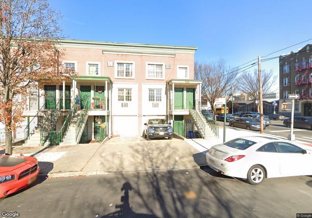
647 Blake Ave Brooklyn, NY 11207
Brownsville NeighborhoodEstimated Value: $799,212 - $942,000
Studio
--
Bath
2,922
Sq Ft
$304/Sq Ft
Est. Value
About This Home
This home is located at 647 Blake Ave, Brooklyn, NY 11207 and is currently estimated at $889,553, approximately $304 per square foot. 647 Blake Ave is a home located in Kings County with nearby schools including P.S. 328 - Phyllis Wheatley, J.H.S 292 Margaret S. Douglas, and Hyde Leadership Charter School-Brooklyn.
Ownership History
Date
Name
Owned For
Owner Type
Purchase Details
Closed on
Apr 11, 2006
Sold by
Greater Bright Light Baptist Church Hous
Bought by
Festus Ayodeji and Nwankwo James
Current Estimated Value
Home Financials for this Owner
Home Financials are based on the most recent Mortgage that was taken out on this home.
Original Mortgage
$357,800
Interest Rate
6.55%
Mortgage Type
Purchase Money Mortgage
Create a Home Valuation Report for This Property
The Home Valuation Report is an in-depth analysis detailing your home's value as well as a comparison with similar homes in the area
Home Values in the Area
Average Home Value in this Area
Purchase History
| Date | Buyer | Sale Price | Title Company |
|---|---|---|---|
| Festus Ayodeji | $422,097 | -- |
Source: Public Records
Mortgage History
| Date | Status | Borrower | Loan Amount |
|---|---|---|---|
| Previous Owner | Festus Ayodeji | $357,800 |
Source: Public Records
Tax History
| Year | Tax Paid | Tax Assessment Tax Assessment Total Assessment is a certain percentage of the fair market value that is determined by local assessors to be the total taxable value of land and additions on the property. | Land | Improvement |
|---|---|---|---|---|
| 2025 | $5,294 | $57,480 | $5,880 | $51,600 |
| 2024 | $5,294 | $56,880 | $5,880 | $51,000 |
| 2023 | $4,475 | $64,680 | $5,880 | $58,800 |
| 2022 | $3,630 | $64,920 | $5,880 | $59,040 |
| 2021 | $3,325 | $55,740 | $5,880 | $49,860 |
| 2020 | $1,407 | $47,520 | $5,880 | $41,640 |
| 2019 | $2,209 | $43,560 | $5,880 | $37,680 |
| 2018 | $1,674 | $25,249 | $3,953 | $21,296 |
| 2017 | $1,503 | $23,820 | $5,545 | $18,275 |
| 2016 | $1,108 | $26,426 | $5,545 | $20,881 |
| 2015 | $414 | $24,931 | $4,563 | $20,368 |
| 2014 | $414 | $23,520 | $4,920 | $18,600 |
Source: Public Records
Map
Nearby Homes
- 359 Sheffield Ave
- 353 Pennsylvania Ave
- 446 New Jersey Ave
- 444 New Jersey Ave
- 317 Pennsylvania Ave
- 392 New Jersey Ave Unit 3921
- 439 Vermont St
- 342 Wyona St
- 412 Bradford St
- 440 Miller Ave
- 461 Miller Ave
- 443 Miller Ave
- 537 Miller Ave
- 543 Miller Ave
- 472 Sutter Ave
- 525 Alabama Ave
- 596 Wyona St
- 460 Hinsdale St
- 582 Hendrix St
- 644 Vermont St
- 645 Blake Ave
- 643 Blake Ave
- 639 Blake Ave
- 378 Pennsylvania Ave
- 633 Blake Ave
- 629 Blake Ave
- 640 Blake Ave Unit 1
- 369 Sheffield Ave
- 648 Blake Ave
- 646 Blake Ave
- 642 Blake Ave
- 627 Blake Ave
- 381 Pennsylvania Ave
- 653 Blake Ave
- 363 Sheffield Ave Unit 367
- 363-367 Sheffield Ave
- 361 Sheffield Ave
- 366 Pennsylvania Ave
- 625 Blake Ave
- 625 Blake Ave Unit Office
Your Personal Tour Guide
Ask me questions while you tour the home.