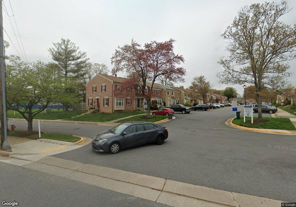
6472 Franconia Ct Springfield, VA 22150
Springtown NeighborhoodEstimated Value: $540,000 - $606,000
About This Home
This home is located at 6472 Franconia Ct, Springfield, VA 22150 and is currently estimated at $570,190, approximately $459 per square foot. 6472 Franconia Ct is a home located in Fairfax County with nearby schools including Springfield Estates Elementary School, Key Middle, and Lewis High School.
Ownership History
We collect this data history from publicly available records. To have your information removed, we recommend requesting removal directly through your county’s website.
Purchase Details
Purchase Details
Home Financials for this Owner
Home Financials are based on the most recent Mortgage that was taken out on this home.Home Values in the Area
Average Home Value in this Area
Purchase History
We collect this data history from publicly available records. To have your information removed, we recommend requesting removal directly through your county’s website.
| Date | Buyer | Sale Price | Title Company |
|---|---|---|---|
| -- | Equititle Llc | ||
| $130,000 | -- |
Mortgage History
We collect this data history from publicly available records. To have your information removed, we recommend requesting removal directly through your county’s website.
| Date | Status | Borrower | Loan Amount |
|---|---|---|---|
| Previous Owner | $130,000 |
Tax History
We collect this data history from publicly available records. To have your information removed, we recommend requesting removal directly through your county’s website.
| Year | Tax Paid | Tax Assessment Tax Assessment Total Assessment is a certain percentage of the fair market value that is determined by local assessors to be the total taxable value of land and additions on the property. | Land | Improvement |
|---|---|---|---|---|
| 2025 | $5,220 | $507,480 | $165,000 | $342,480 |
| 2024 | $5,220 | $450,620 | $145,000 | $305,620 |
| 2023 | $5,087 | $450,790 | $145,000 | $305,790 |
| 2022 | $4,915 | $429,860 | $135,000 | $294,860 |
| 2021 | $4,535 | $386,460 | $120,000 | $266,460 |
| 2020 | $4,399 | $371,670 | $115,000 | $256,670 |
| 2019 | $4,193 | $354,290 | $107,000 | $247,290 |
| 2018 | $3,998 | $347,680 | $107,000 | $240,680 |
| 2017 | $3,748 | $322,850 | $100,000 | $222,850 |
| 2016 | $3,740 | $322,850 | $100,000 | $222,850 |
| 2015 | $3,603 | $322,850 | $100,000 | $222,850 |
| 2014 | $3,595 | $322,850 | $100,000 | $222,850 |
Map
- 6430 Franconia Rd
- 6270 Levi Ct
- 6380 Michael Robert Dr
- 6388 Trips Way
- 6397 Stagg Ct
- 6423 Cabell Ct
- 6385 Stagg Ct
- 6449 Katherine Ann Ln
- 6727 Bowie Dr
- 6113 Pioneer Dr
- 6409 Nice Place
- 6416 Fleetside Ct
- 6518 Yadkin Ct
- 6545 Greyledge Ct
- 6426 Gildar St
- 6468 Windham Ave
- 6463 Gildar St
- 6497 Windham Ave
- 6200 Franconia Forest Ct
- 6528 Windham Ave
- 6474 Franconia Ct
- 6468 Franconia Ct
- 6466 Franconia Ct
- 6464 Franconia Ct
- 6471 Franconia Ct
- 6462 Franconia Ct
- 6518 Franconia Rd
- 6469 Franconia Ct
- 6467 Franconia Ct
- 6465 Franconia Ct
- 6463 Franconia Ct
- 6460 Franconia Ct
- 6461 Franconia Ct
- 6458 Franconia Ct
- 6459 Franconia Ct
- 6457 Franconia Ct
- 6456 Franconia Ct
- 6496 Franconia Rd
- 6494 Franconia Rd
- 6562 Forsythia St
Ask me questions while you tour the home.