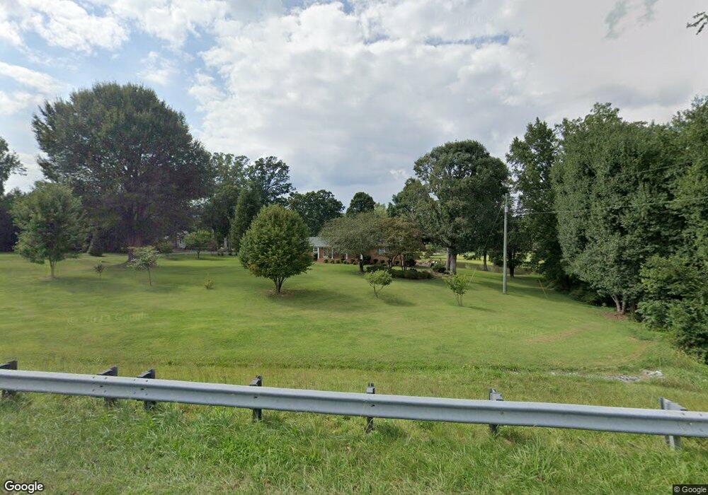
6479 Us Highway 29 Browns Summit, NC 27214
Estimated Value: $129,000 - $299,000
About This Home
This home is located at 6479 Us Highway 29, Browns Summit, NC 27214 and is currently estimated at $236,443, approximately $123 per square foot. 6479 Us Highway 29 is a home located in Guilford County with nearby schools including Monticello-Brown Summit Elementary School, Northeast Guilford Middle School, and Northeast Guilford High School.
Ownership History
Purchase Details
Home Financials for this Owner
Home Financials are based on the most recent Mortgage that was taken out on this home.Purchase Details
Purchase Details
Home Values in the Area
Average Home Value in this Area
Purchase History
We collect this data history from publicly available records. To have your information removed, we recommend requesting removal directly through your county’s website.
| Date | Buyer | Sale Price | Title Company |
|---|---|---|---|
| Gordon Buddy Wayne | -- | None Available | |
| Gordon Buddy Wayne | -- | -- | |
| Gordon Buddy Wayne | -- | -- |
Mortgage History
We collect this data history from publicly available records. To have your information removed, we recommend requesting removal directly through your county’s website.
| Date | Status | Borrower | Loan Amount |
|---|---|---|---|
| Closed | Gordon Buddy Wayne | $50,000 |
Tax History
| Year | Tax Paid | Tax Assessment Tax Assessment Total Assessment is a certain percentage of the fair market value that is determined by local assessors to be the total taxable value of land and additions on the property. | Land | Improvement |
|---|---|---|---|---|
| 2025 | $1,351 | $151,700 | $30,000 | $121,700 |
| 2024 | $1,351 | $151,700 | $30,000 | $121,700 |
| 2023 | $1,351 | $151,700 | $30,000 | $121,700 |
| 2022 | $1,320 | $151,700 | $30,000 | $121,700 |
| 2021 | $1,008 | $115,800 | $22,000 | $93,800 |
| 2020 | $1,008 | $115,800 | $22,000 | $93,800 |
| 2019 | $1,008 | $115,800 | $0 | $0 |
| 2018 | $991 | $115,800 | $0 | $0 |
| 2017 | $996 | $115,800 | $0 | $0 |
| 2016 | $990 | $111,900 | $0 | $0 |
| 2015 | $996 | $111,900 | $0 | $0 |
| 2014 | $1,007 | $111,900 | $0 | $0 |
Map
- 5712 Baverhof Dr
- 7049 McLeansville Rd
- 5803 Springer Dr
- 5031 Red Poll Dr
- 401 Bandana Ct
- 7676 Caber Rd
- 5027 Brahman Trail
- 5519 Hardie Farm Dr
- 5556 Baverhof Dr
- 3 Shorthorn Ct
- 5536 Baverhof Dr
- 1100 Broholmer Ln
- 1102 Broholmer Ln
- 1104 Broholmer Ln
- 1108 Broholmer Ln
- 1110 Broholmer Ln
- 1112 Broholmer Ln
- 1106 Broholmer Ln
- 1114 Broholmer Ln
- 1130 Broholmer Ln
- 6479 U S 29
- 6477 Us Highway 29 Unit R1
- 6477 Us Highway 29 Unit REAR
- 6475 Us Highway 29
- 6076 Summit Ave
- 6074 Summit Ave
- 6471 Us Highway 29
- 6072 Summit Ave
- 6080 Summit Ave
- 6070 Summit Ave
- 6068 Summit Ave
- 6081 Summit Ave
- 6064 Summit Ave
- 6063 Summit Ave
- 6065 Summit Ave
- 6062 Summit Ave
- 6097 Summit Ave
- 6041 Summit Ave
- 5600 Summit Ave
- 6093 Summit Ave
Ask me questions while you tour the home.