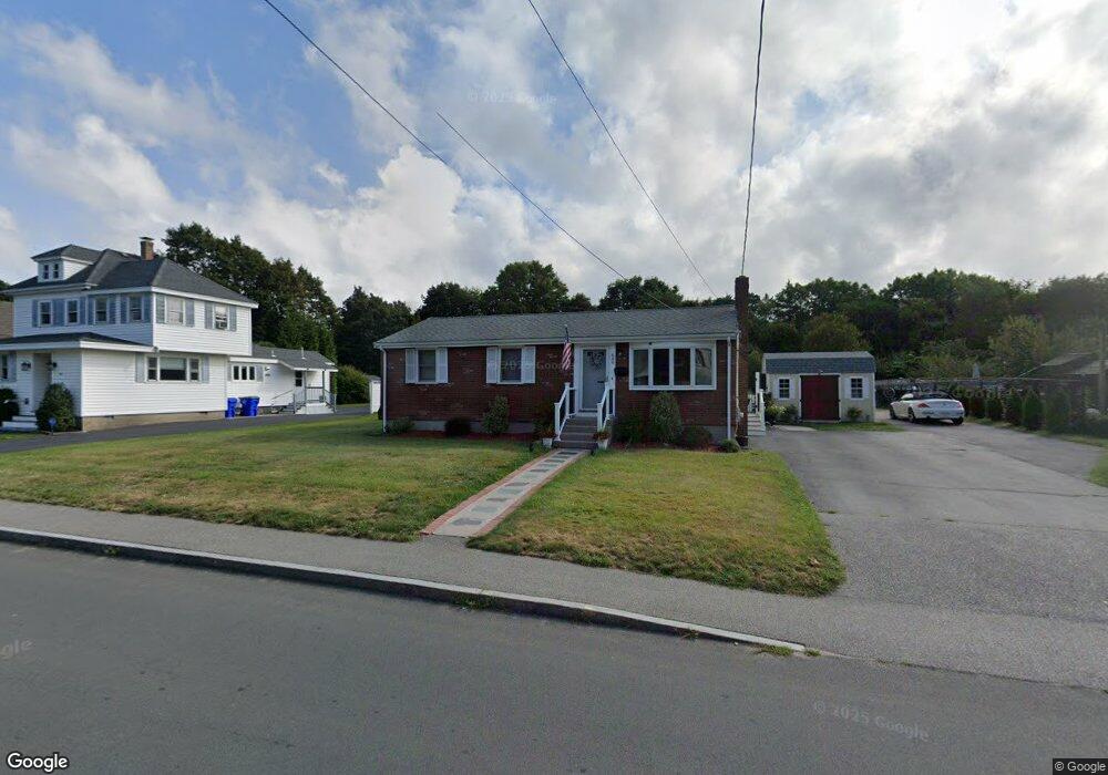
649 Liberty St Rockland, MA 02370
Estimated Value: $466,543 - $510,000
3
Beds
2
Baths
936
Sq Ft
$521/Sq Ft
Est. Value
About This Home
This home is located at 649 Liberty St, Rockland, MA 02370 and is currently estimated at $487,636, approximately $520 per square foot. 649 Liberty St is a home located in Plymouth County with nearby schools including Rockland Senior High School, Calvary Chapel Academy, and St Bridget School.
Ownership History
Date
Name
Owned For
Owner Type
Purchase Details
Closed on
Apr 18, 2025
Sold by
Hayes Kathleen and Iacovino Elizabeth A
Bought by
Ewell Ann and Ewell Derek
Current Estimated Value
Home Financials for this Owner
Home Financials are based on the most recent Mortgage that was taken out on this home.
Original Mortgage
$200,000
Outstanding Balance
$195,481
Interest Rate
6.67%
Mortgage Type
New Conventional
Estimated Equity
$292,155
Create a Home Valuation Report for This Property
The Home Valuation Report is an in-depth analysis detailing your home's value as well as a comparison with similar homes in the area
Home Values in the Area
Average Home Value in this Area
Purchase History
| Date | Buyer | Sale Price | Title Company |
|---|---|---|---|
| Ewell Ann | -- | None Available | |
| Ewell Ann M | -- | None Available |
Source: Public Records
Mortgage History
| Date | Status | Borrower | Loan Amount |
|---|---|---|---|
| Open | Ewell Ann M | $200,000 | |
| Closed | Ewell Ann M | $200,000 |
Source: Public Records
Tax History
| Year | Tax Paid | Tax Assessment Tax Assessment Total Assessment is a certain percentage of the fair market value that is determined by local assessors to be the total taxable value of land and additions on the property. | Land | Improvement |
|---|---|---|---|---|
| 2025 | $5,933 | $434,000 | $222,700 | $211,300 |
| 2024 | $5,763 | $409,900 | $210,100 | $199,800 |
| 2023 | $5,890 | $387,000 | $202,800 | $184,200 |
| 2022 | $5,564 | $332,200 | $176,400 | $155,800 |
| 2021 | $5,222 | $302,200 | $160,300 | $141,900 |
| 2020 | $5,047 | $288,400 | $152,700 | $135,700 |
| 2019 | $4,935 | $275,400 | $145,500 | $129,900 |
| 2018 | $7,848 | $250,500 | $145,500 | $105,000 |
| 2017 | $4,522 | $244,700 | $145,500 | $99,200 |
| 2016 | $4,354 | $235,500 | $139,900 | $95,600 |
| 2015 | $4,158 | $218,500 | $130,700 | $87,800 |
| 2014 | $3,936 | $214,600 | $128,200 | $86,400 |
Source: Public Records
Map
Nearby Homes
- 48 Bigelow Ave
- 354 Webster St
- 375 Webster St
- 86 Leisurewoods Dr Unit 279
- 11 Hawthorne St
- 1 Canterbury Ln
- 10 Sunnybank Ave
- 22 Everett St
- 491 Webster St
- 30 Leisurewoods Dr
- 11 Chestnut Cir
- 24 Leisurewoods Dr Unit 84
- 17 Birch St
- 181 Greenwood St
- 40 Fir Rd Unit 386
- 173 Liberty St
- 215 Vernon St
- 39 Dwelley Ave
- 29 Saw Mill Ln
- 40 Saw Mill Ln
Your Personal Tour Guide
Ask me questions while you tour the home.