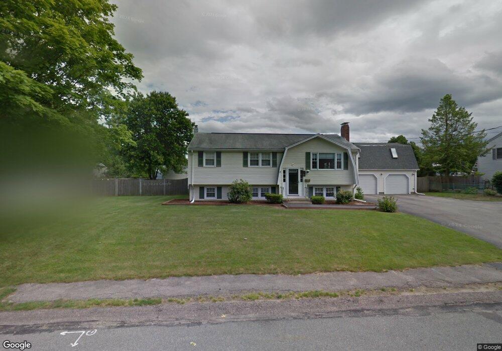
65 Captain Standish Dr Abington, MA 02351
Estimated Value: $732,000 - $939,000
4
Beds
1
Bath
1,706
Sq Ft
$503/Sq Ft
Est. Value
About This Home
This home is located at 65 Captain Standish Dr, Abington, MA 02351 and is currently estimated at $858,378, approximately $503 per square foot. 65 Captain Standish Dr is a home located in Plymouth County with nearby schools including Beaver Brook Elementary School, Abington Middle School, and Woodsdale School.
Ownership History
Date
Name
Owned For
Owner Type
Purchase Details
Closed on
May 23, 2011
Sold by
Maniscalco Domenic L and Maniscalco Steven J
Bought by
Maniscalco Steven J and Maniscalco Stephanie R
Current Estimated Value
Home Financials for this Owner
Home Financials are based on the most recent Mortgage that was taken out on this home.
Original Mortgage
$376,717
Outstanding Balance
$260,228
Interest Rate
4.75%
Mortgage Type
FHA
Estimated Equity
$598,150
Purchase Details
Closed on
Mar 1, 2005
Sold by
Otoole Michael J and Otoole Brenda J
Bought by
Maniscalco Dominic L and Maniscalco Steven J
Home Financials for this Owner
Home Financials are based on the most recent Mortgage that was taken out on this home.
Original Mortgage
$397,100
Interest Rate
5.73%
Mortgage Type
Purchase Money Mortgage
Purchase Details
Closed on
Mar 10, 1995
Sold by
Sciaraffa Patricia A
Bought by
Otoole Michael J and Otoole Brenda J
Create a Home Valuation Report for This Property
The Home Valuation Report is an in-depth analysis detailing your home's value as well as a comparison with similar homes in the area
Home Values in the Area
Average Home Value in this Area
Purchase History
| Date | Buyer | Sale Price | Title Company |
|---|---|---|---|
| Maniscalco Steven J | -- | -- | |
| Maniscalco Dominic L | $418,000 | -- | |
| Otoole Michael J | $156,000 | -- |
Source: Public Records
Mortgage History
| Date | Status | Borrower | Loan Amount |
|---|---|---|---|
| Open | Maniscalco Steven J | $376,717 | |
| Previous Owner | Otoole Michael J | $397,100 | |
| Previous Owner | Otoole Michael J | $250,000 | |
| Previous Owner | Otoole Michael J | $175,000 |
Source: Public Records
Tax History
| Year | Tax Paid | Tax Assessment Tax Assessment Total Assessment is a certain percentage of the fair market value that is determined by local assessors to be the total taxable value of land and additions on the property. | Land | Improvement |
|---|---|---|---|---|
| 2025 | $10,678 | $817,600 | $267,700 | $549,900 |
| 2024 | $10,250 | $766,100 | $243,800 | $522,300 |
| 2023 | $8,833 | $621,600 | $222,100 | $399,500 |
| 2022 | $8,388 | $551,100 | $185,800 | $365,300 |
| 2021 | $57 | $481,300 | $169,700 | $311,600 |
| 2020 | $14,632 | $477,300 | $170,900 | $306,400 |
| 2019 | $8,337 | $479,400 | $164,000 | $315,400 |
| 2018 | $7,882 | $442,300 | $164,000 | $278,300 |
| 2017 | $8,017 | $436,900 | $164,000 | $272,900 |
| 2016 | $7,039 | $392,600 | $149,800 | $242,800 |
| 2015 | $6,489 | $381,700 | $149,800 | $231,900 |
Source: Public Records
Map
Nearby Homes
- 53 Captain Standish Dr
- 77 Captain Standish Dr
- 106 Hersey Ln
- 120 Hersey Ln
- 89 Captain Standish Dr
- 78 Captain Standish Dr
- 41 Captain Standish Dr
- 68 Captain Standish Dr
- 90 Captain Standish Dr
- 88 Hersey Ln
- 134 Hersey Ln
- 58 Captain Standish Dr
- 101 Captain Standish Dr
- 102 Captain Standish Dr
- 95 Hersey Ln
- 117 Hersey Ln
- 105 Hersey Ln
- 27 Captain Standish Dr
- 148 Hersey Ln
- 48 Captain Standish Dr
Your Personal Tour Guide
Ask me questions while you tour the home.