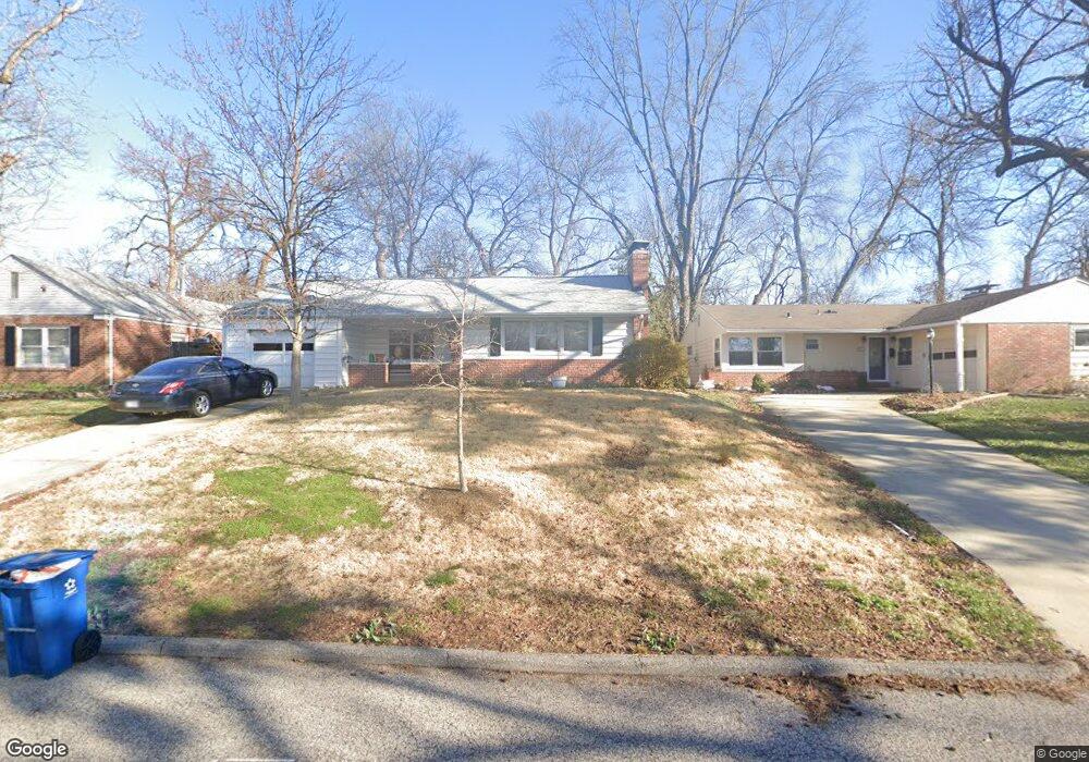
65 Cheyenne Ct Saint Louis, MO 63122
Estimated Value: $393,650 - $465,000
3
Beds
2
Baths
1,485
Sq Ft
$288/Sq Ft
Est. Value
About This Home
This home is located at 65 Cheyenne Ct, Saint Louis, MO 63122 and is currently estimated at $428,413, approximately $288 per square foot. 65 Cheyenne Ct is a home located in St. Louis County with nearby schools including Bristol Elementary School, Hixson Middle School, and Webster Groves High School.
Ownership History
Date
Name
Owned For
Owner Type
Purchase Details
Closed on
Aug 15, 2003
Sold by
Isaacson Robert J and Isaacson Jane Darst
Bought by
Dante Michael and Dante Judith
Current Estimated Value
Home Financials for this Owner
Home Financials are based on the most recent Mortgage that was taken out on this home.
Original Mortgage
$156,500
Outstanding Balance
$68,364
Interest Rate
5.51%
Mortgage Type
Purchase Money Mortgage
Estimated Equity
$360,049
Create a Home Valuation Report for This Property
The Home Valuation Report is an in-depth analysis detailing your home's value as well as a comparison with similar homes in the area
Home Values in the Area
Average Home Value in this Area
Purchase History
| Date | Buyer | Sale Price | Title Company |
|---|---|---|---|
| Dante Michael | $216,500 | -- |
Source: Public Records
Mortgage History
| Date | Status | Borrower | Loan Amount |
|---|---|---|---|
| Open | Dante Michael | $156,500 |
Source: Public Records
Tax History
| Year | Tax Paid | Tax Assessment Tax Assessment Total Assessment is a certain percentage of the fair market value that is determined by local assessors to be the total taxable value of land and additions on the property. | Land | Improvement |
|---|---|---|---|---|
| 2025 | $4,576 | $70,930 | $46,320 | $24,610 |
| 2024 | $4,576 | $65,030 | $30,890 | $34,140 |
| 2023 | $4,551 | $65,030 | $30,890 | $34,140 |
| 2022 | $4,256 | $56,620 | $30,890 | $25,730 |
| 2021 | $4,221 | $56,620 | $30,890 | $25,730 |
| 2020 | $4,790 | $59,470 | $30,890 | $28,580 |
| 2019 | $4,631 | $59,470 | $30,890 | $28,580 |
| 2018 | $4,100 | $46,740 | $21,620 | $25,120 |
| 2016 | $3,378 | $36,580 | $18,530 | $18,050 |
Source: Public Records
Map
Nearby Homes
- 617 Lee Ave
- 9840 Madison Ave
- 519 Bismark Ave
- 520 Bahia Dr
- 1026 Kirkham Ave
- 515 Crestvale Dr
- 433 Bismark Ave
- 529 Barcia Dr
- 819 Blossom Ln
- 1053 Chelsea Ave
- 404 W Kirkham Ave
- 430 W Lockwood Ave
- 1009 Joanna Ave
- 340 Madison Ave
- 617 N Rock Hill Rd
- 10 Kings Pond Rd
- 619 N Rock Hill Rd
- 881 Victoria Place
- 872 Queen Anne Place
- 24 Willow Oak Ln
- 61 Cheyenne Ct
- 73 Cheyenne Ct
- 55 Cheyenne Ct
- 20 Berry Road Park
- 18 Berry Road Park
- 848 Yosemite Dr
- 35 Cheyenne Ct
- 16 Berry Road Park
- 22 Berry Road Park
- 842 Yosemite Dr
- 849 Yosemite Dr
- 29 Cheyenne Ct
- 51 Cheyenne Ct
- 843 Yosemite Dr
- 48 Cheyenne Ct
- 839 Yosemite Dr
- 40 Cheyenne Ct
- 836 Yosemite Dr
- 23 Cheyenne Ct
- 10 Berry Road Park
Your Personal Tour Guide
Ask me questions while you tour the home.