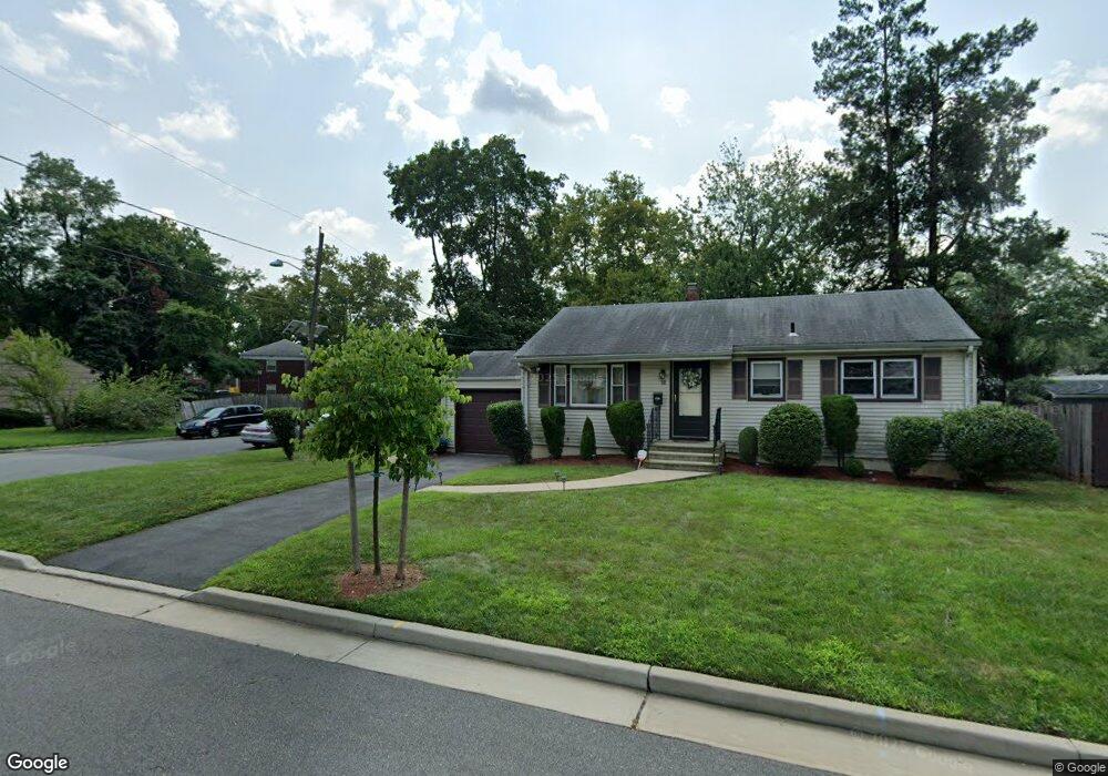
65 Deborah Ct Unit 67 Plainfield, NJ 07062
Estimated Value: $356,883 - $455,000
Studio
--
Bath
912
Sq Ft
$460/Sq Ft
Est. Value
About This Home
This home is located at 65 Deborah Ct Unit 67, Plainfield, NJ 07062 and is currently estimated at $419,221, approximately $459 per square foot. 65 Deborah Ct Unit 67 is a home located in Union County with nearby schools including Emerson Community School, Maxson Middle School, and Plainfield High School.
Ownership History
Date
Name
Owned For
Owner Type
Purchase Details
Closed on
Feb 8, 2008
Sold by
Pitt Valerie F and Pitt Patricia
Bought by
Pitt Patricia
Current Estimated Value
Purchase Details
Closed on
Dec 14, 2007
Sold by
Pitt Valerie F and Boyce Valerie
Bought by
Pitt Valerie F and Pitt Patricia
Create a Home Valuation Report for This Property
The Home Valuation Report is an in-depth analysis detailing your home's value as well as a comparison with similar homes in the area
Home Values in the Area
Average Home Value in this Area
Purchase History
| Date | Buyer | Sale Price | Title Company |
|---|---|---|---|
| Pitt Patricia | -- | Multiple | |
| Pitt Valerie F | -- | None Available |
Source: Public Records
Tax History
| Year | Tax Paid | Tax Assessment Tax Assessment Total Assessment is a certain percentage of the fair market value that is determined by local assessors to be the total taxable value of land and additions on the property. | Land | Improvement |
|---|---|---|---|---|
| 2025 | $8,592 | $98,400 | $39,800 | $58,600 |
| 2024 | $8,508 | $98,400 | $39,800 | $58,600 |
| 2023 | $8,508 | $98,400 | $39,800 | $58,600 |
| 2022 | $8,324 | $98,400 | $39,800 | $58,600 |
| 2021 | $8,251 | $98,400 | $39,800 | $58,600 |
| 2020 | $8,227 | $98,400 | $39,800 | $58,600 |
| 2019 | $8,227 | $98,400 | $39,800 | $58,600 |
| 2018 | $8,055 | $98,400 | $39,800 | $58,600 |
| 2017 | $7,858 | $98,400 | $39,800 | $58,600 |
| 2016 | $7,698 | $98,400 | $39,800 | $58,600 |
| 2015 | $7,471 | $98,400 | $39,800 | $58,600 |
| 2014 | $7,268 | $98,400 | $39,800 | $58,600 |
Source: Public Records
Map
Nearby Homes
- 93 Raymond Ave
- 95 Raymond Ave Unit 97
- 45 Andover Ave Unit 47
- 124 Hillcrest Ave
- 162 Mali Dr
- 965 E Front St Unit D
- 1224 E 2nd St Unit 30
- 925 E Front St Unit 66
- 148 Pineview Terrace Unit 50
- 935 E Front St Unit C
- 1127 Earle Place Unit 29
- 1127-29 Earle Place
- 358-400 E 2nd St
- 836 E 2nd St Unit 38
- 95 Farragut Rd
- 289 Watson Ave
- 305 Leland Ave Unit 7
- 5 Cecilia Place
- 813-17 George St
- 535 Farley Ave
- 69 Deborah Ct Unit 71
- 57 Deborah Ct Unit 59
- 73 Deborah Ct Unit 75
- 66 Deborah Ct Unit 68
- 62 Deborah Ct Unit 64
- 70 Deborah Ct Unit 72
- 58 Deborah Ct Unit 60
- 74 Deborah Ct Unit 76
- 53 Deborah Ct Unit 55
- 77 Deborah Ct Unit 79
- 54 Deborah Ct Unit 56
- 78 Deborah Ct Unit 80
- 49 Deborah Ct Unit 51
- 81 Deborah Ct
- 57 Raymond Ave Unit 59
- 82 Deborah Ct
- 50 Deborah Ct Unit 52
- 51 Raymond Ave Unit 55
- 67 Raymond Ave Unit 69
- 45-47 Deborah Ct
Your Personal Tour Guide
Ask me questions while you tour the home.