65 Laurel Dr Midway, GA 31320
Estimated Value: $327,000 - $350,769
3
Beds
2
Baths
1,833
Sq Ft
$184/Sq Ft
Est. Value
About This Home
This home is located at 65 Laurel Dr, Midway, GA 31320 and is currently estimated at $337,442, approximately $184 per square foot. 65 Laurel Dr is a home located in Liberty County with nearby schools including Liberty Elementary School, Midway Middle School, and Liberty County High School.
Ownership History
Date
Name
Owned For
Owner Type
Purchase Details
Closed on
Jul 10, 2013
Sold by
Fisher Janet E
Bought by
Schutts Christopher T and Schutts Kathy L
Current Estimated Value
Purchase Details
Closed on
Apr 25, 2011
Sold by
Fisher Donald F
Bought by
Fisher Janet E
Purchase Details
Closed on
Mar 21, 2002
Sold by
Cooke Robert G and Cooke Fra
Bought by
Fisher Donald and Fisher Janet E
Purchase Details
Closed on
Aug 11, 2000
Sold by
Rockwell Kevin R
Bought by
Cooke Robert G and Cooke Fra
Purchase Details
Closed on
Sep 4, 1999
Sold by
Cooke Robert G and Cooke Fra
Bought by
Rockwell Kevin R
Purchase Details
Closed on
Oct 8, 1998
Bought by
Cooke Robert G and Cooke Fra
Create a Home Valuation Report for This Property
The Home Valuation Report is an in-depth analysis detailing your home's value as well as a comparison with similar homes in the area
Purchase History
| Date | Buyer | Sale Price | Title Company |
|---|---|---|---|
| Schutts Christopher T | $175,000 | -- | |
| Shutts Christopher T | $175,000 | -- | |
| Fisher Janet E | -- | -- | |
| Fisher Donald | $9,000 | -- | |
| Cooke Robert G | $19,000 | -- | |
| Rockwell Kevin R | $6,300 | -- | |
| Cooke Robert G | $5,500 | -- |
Source: Public Records
Tax History
| Year | Tax Paid | Tax Assessment Tax Assessment Total Assessment is a certain percentage of the fair market value that is determined by local assessors to be the total taxable value of land and additions on the property. | Land | Improvement |
|---|---|---|---|---|
| 2025 | $208 | $108,021 | $17,715 | $90,306 |
| 2024 | $5,014 | $114,406 | $17,715 | $96,691 |
| 2023 | $3,922 | $97,161 | $17,715 | $79,446 |
| 2022 | $3,217 | $82,249 | $17,715 | $64,534 |
| 2021 | $2,955 | $75,748 | $17,715 | $58,033 |
| 2020 | $2,723 | $69,482 | $17,715 | $51,767 |
| 2019 | $2,707 | $67,825 | $17,715 | $50,110 |
| 2018 | $2,703 | $68,527 | $17,715 | $50,812 |
| 2017 | $2,619 | $79,520 | $32,886 | $46,634 |
Source: Public Records
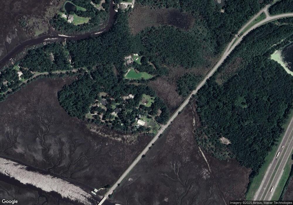
Map
Nearby Homes
- 613 Tideland Dr
- 4 Magnolia Rd
- 4 Rd
- 115 Pinetree Rd
- 120 Pinetree Rd
- 0 Pinetree Rd Unit SA340350
- 191 Island Dr
- 62 Pineland Rd
- 10 Pinetree Rd
- LOTS 14,15 & 16 E Poncell Dr
- 181 Pineland Rd
- 1870 Isle of Wight Rd
- 194 Priscilla Dr
- 48 Carlyene Dr
- 182 Priscilla Dr
- 98 Carlyene Dr
- 3194 Isle of Wight Rd
- 3182 Isle of Wight Rd
- 321 Carlyene Dr
- 525 Carlyene Dr
- 15 Laurel Dr
- 99 Laurel Dr
- 52 Laurel Dr
- Lot 2 Laurel Dr
- Lot 5 Laurel Dr
- Lot 4 Laurel Dr
- 72 Laurel Dr
- 72 Laurel Dr
- 133 Laurel Dr
- 106 Laurel Dr
- Lot 46 Laurel Dr
- 17 Marsh Hen Rd
- 146 Laurel Dr
- 31 Marsh Hen Rd
- 0 Laurel Dr
- 0 Laurel Dr Unit 41705
- 0 Laurel Dr Unit 39596
- 0 Laurel Dr Unit 29677
- 0 Laurel Dr Unit 1576907
- 0 Laurel Dr Unit 20038940
Your Personal Tour Guide
Ask me questions while you tour the home.