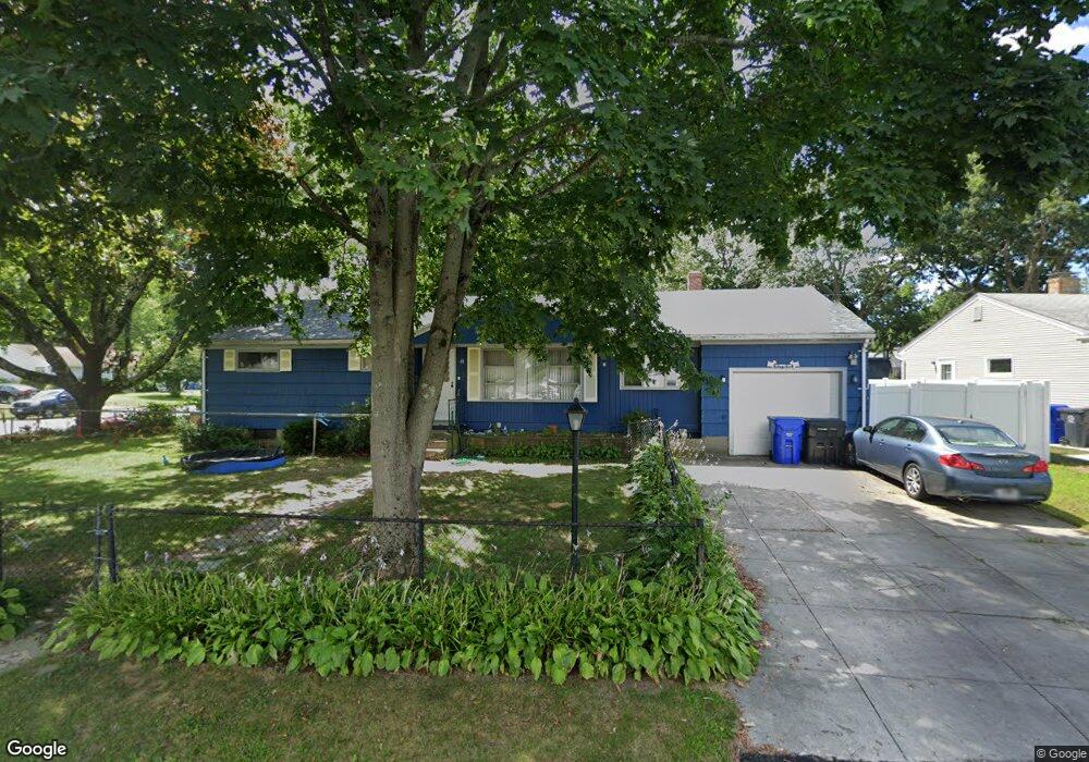
65 Manning Dr Riverside, RI 02915
Kent Heights NeighborhoodEstimated Value: $420,355 - $434,000
About This Home
This home is located at 65 Manning Dr, Riverside, RI 02915 and is currently estimated at $424,839, approximately $355 per square foot. 65 Manning Dr is a home located in Providence County with nearby schools including East Providence High School, The Gordon School, and St Mary Academy-Bay View.
Ownership History
We collect this data history from publicly available records. To have your information removed, we recommend requesting removal directly through your county’s website.
Purchase Details
Home Financials for this Owner
Home Financials are based on the most recent Mortgage that was taken out on this home.Home Values in the Area
Average Home Value in this Area
Purchase History
We collect this data history from publicly available records. To have your information removed, we recommend requesting removal directly through your county’s website.
| Date | Buyer | Sale Price | Title Company |
|---|---|---|---|
| $200,000 | None Available | ||
| $200,000 | None Available |
Mortgage History
We collect this data history from publicly available records. To have your information removed, we recommend requesting removal directly through your county’s website.
| Date | Status | Borrower | Loan Amount |
|---|---|---|---|
| Open | $170,000 | ||
| Closed | $170,000 |
Tax History
We collect this data history from publicly available records. To have your information removed, we recommend requesting removal directly through your county’s website.
| Year | Tax Paid | Tax Assessment Tax Assessment Total Assessment is a certain percentage of the fair market value that is determined by local assessors to be the total taxable value of land and additions on the property. | Land | Improvement |
|---|---|---|---|---|
| 2025 | $4,742 | $362,800 | $131,800 | $231,000 |
| 2024 | $4,601 | $300,100 | $110,000 | $190,100 |
| 2023 | $4,429 | $300,100 | $110,000 | $190,100 |
| 2022 | $4,092 | $187,200 | $57,600 | $129,600 |
| 2021 | $4,025 | $187,200 | $57,600 | $129,600 |
| 2020 | $3,854 | $187,200 | $57,600 | $129,600 |
| 2019 | $3,748 | $187,200 | $57,600 | $129,600 |
| 2018 | $3,933 | $171,900 | $58,800 | $113,100 |
| 2017 | $3,845 | $171,900 | $58,800 | $113,100 |
| 2016 | $3,826 | $171,900 | $58,800 | $113,100 |
| 2015 | $3,555 | $154,900 | $51,900 | $103,000 |
| 2014 | $3,555 | $154,900 | $51,900 | $103,000 |
Map
- 133 Wampanoag Trail
- 61 Ravena Ave
- 53 Wampanoag Trail
- 2919 Pawtucket Ave
- 111 Wannamoisett Rd
- 14 Boyden Blvd
- 220 Vincent Ave
- 105 Walmer Ave
- 0 Robinson St
- 14 Barnsdale Rd
- 71 Fairview Ave
- 149 Grassmere Ave
- 62 Gardiner Ave
- 177 Dover Ave
- 52 Maxfield Ave
- 14 Maxfield Ave
- 63 Indian Rd
- 6 Fuller Ave
- 74 Brookhaven Dr
- 14 Lottie Dr
Ask me questions while you tour the home.