65 Maple St Elgin, IL 60123
North Country Knolls NeighborhoodEstimated Value: $239,000 - $337,353
About This Home
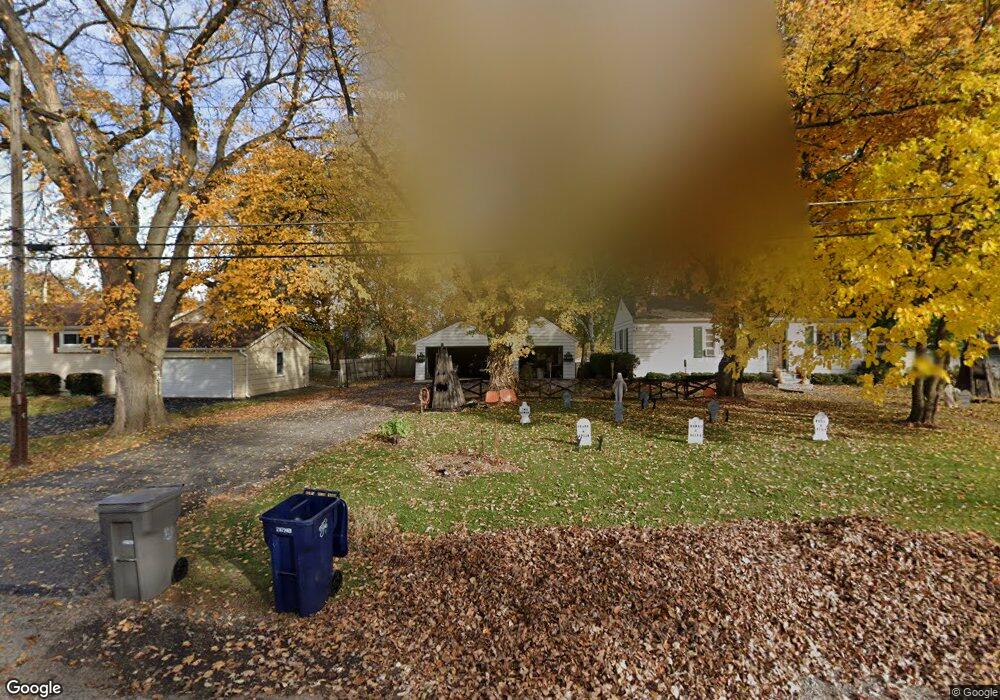
This home is located at 65 Maple St, Elgin, IL 60123 and is currently estimated at $305,088, approximately $220 per square foot. 65 Maple St is a home located in Kane County with nearby schools including Hillcrest Elementary School, Abbott Middle School, and Larkin High School.
Ownership History
We collect this data history from publicly available records. To have your information removed, we recommend requesting removal directly through your county’s website.
Purchase Details
Purchase Details
Home Values in the Area
Average Home Value in this Area
Purchase History
We collect this data history from publicly available records. To have your information removed, we recommend requesting removal directly through your county’s website.
| Date | Buyer | Sale Price | Title Company |
|---|---|---|---|
| -- | None Available | ||
| $125,000 | Chicago Title Insurance Co |
Mortgage History
We collect this data history from publicly available records. To have your information removed, we recommend requesting removal directly through your county’s website.
| Date | Status | Borrower | Loan Amount |
|---|---|---|---|
| Open | $171,000 | ||
| Closed | $147,900 | ||
| Closed | $139,200 | ||
| Closed | $15,000 |
Tax History
We collect this data history from publicly available records. To have your information removed, we recommend requesting removal directly through your county’s website.
| Year | Tax Paid | Tax Assessment Tax Assessment Total Assessment is a certain percentage of the fair market value that is determined by local assessors to be the total taxable value of land and additions on the property. | Land | Improvement |
|---|---|---|---|---|
| 2024 | $5,932 | $82,330 | $21,417 | $60,913 |
| 2023 | $5,643 | $74,379 | $19,349 | $55,030 |
| 2022 | $5,345 | $67,821 | $17,643 | $50,178 |
| 2021 | $5,107 | $63,408 | $16,495 | $46,913 |
| 2020 | $4,959 | $60,533 | $15,747 | $44,786 |
| 2019 | $4,811 | $57,661 | $15,000 | $42,661 |
| 2018 | $4,763 | $54,320 | $14,131 | $40,189 |
| 2017 | $4,651 | $51,352 | $13,359 | $37,993 |
| 2016 | $4,428 | $47,641 | $12,394 | $35,247 |
| 2015 | -- | $43,667 | $11,360 | $32,307 |
| 2014 | -- | $43,128 | $11,220 | $31,908 |
| 2013 | -- | $44,266 | $11,516 | $32,750 |
Map
- 180 S Belmont Ave
- 75 N Lyle Ave
- 1560 Pamela Dr
- 59 S Jane Dr
- 10N827 Hawthorne St
- 1629 Lin Lor Ln
- 88 N Airlite St
- 2202 Country Knoll Ln
- 264 Nautical Way Unit D
- 2205 Country Knoll Ln
- 281 Governors Ln
- 1535 Easy St
- 2244 Country Knoll Ln Unit 14
- 1434 Maple Ln
- 13 N Weston Ave
- 17 N Weston Ave
- 40 Acres Randall Rd
- 16 S Clifton Ave
- 262 S Weston Ave
- 1300 Wolff Ave
Ask me questions while you tour the home.