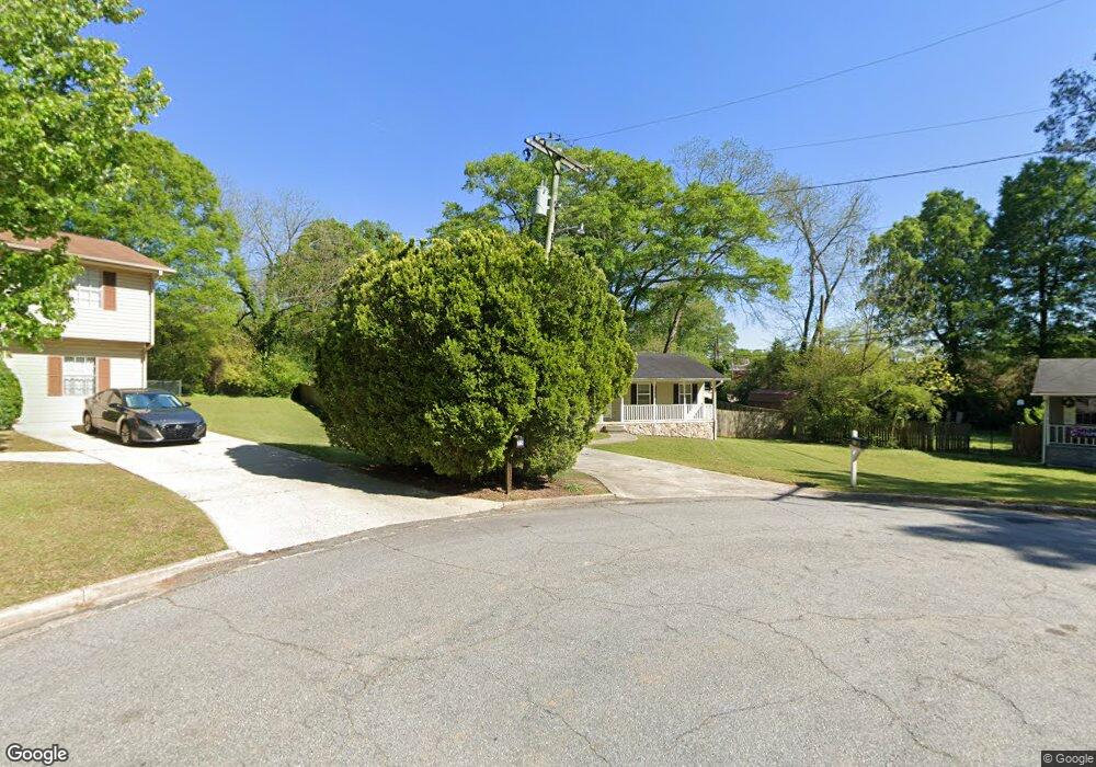
65 Porter Cir Hampton, GA 30228
Estimated Value: $205,000 - $237,000
About This Home
This home is located at 65 Porter Cir, Hampton, GA 30228 and is currently estimated at $228,502, approximately $135 per square foot. 65 Porter Cir is a home located in Henry County with nearby schools including Hampton Elementary School, Hampton Middle School, and Hampton High School.
Ownership History
We collect this data history from publicly available records. To have your information removed, we recommend requesting removal directly through your county’s website.
Purchase Details
Purchase Details
Home Financials for this Owner
Home Financials are based on the most recent Mortgage that was taken out on this home.Purchase Details
Home Values in the Area
Average Home Value in this Area
Purchase History
We collect this data history from publicly available records. To have your information removed, we recommend requesting removal directly through your county’s website.
| Date | Buyer | Sale Price | Title Company |
|---|---|---|---|
| $185,000 | -- | ||
| $115,000 | -- | ||
| $55,000 | -- |
Mortgage History
We collect this data history from publicly available records. To have your information removed, we recommend requesting removal directly through your county’s website.
| Date | Status | Borrower | Loan Amount |
|---|---|---|---|
| Previous Owner | $94,829 |
Tax History
We collect this data history from publicly available records. To have your information removed, we recommend requesting removal directly through your county’s website.
| Year | Tax Paid | Tax Assessment Tax Assessment Total Assessment is a certain percentage of the fair market value that is determined by local assessors to be the total taxable value of land and additions on the property. | Land | Improvement |
|---|---|---|---|---|
| 2025 | $3,981 | $100,720 | $12,000 | $88,720 |
| 2024 | $3,981 | $80,720 | $12,000 | $68,720 |
| 2023 | $2,722 | $80,240 | $10,000 | $70,240 |
| 2022 | $2,957 | $72,760 | $10,000 | $62,760 |
| 2021 | $1,945 | $53,720 | $10,000 | $43,720 |
| 2020 | $1,899 | $52,440 | $10,000 | $42,440 |
| 2019 | $1,328 | $36,080 | $8,000 | $28,080 |
| 2018 | $886 | $24,240 | $8,000 | $16,240 |
| 2016 | $821 | $26,480 | $4,000 | $22,480 |
| 2015 | $974 | $25,800 | $4,000 | $21,800 |
| 2014 | $597 | $15,680 | $4,000 | $11,680 |
Map
- 39 W Main St
- 216 Friendship Oak Way
- 115 June Ct
- 21 Elm St
- 608 Button Grove
- 10 Woodlawn Ave
- 248 Fern Ct
- 30 Woodlawn Ave
- 13 Derrick St
- 31 Elm St
- 0 Yorktown Ave Unit 10772686
- 0 Cape Charles Ave Unit 10772682
- 479 Windsor Pkwy
- 324 Denton Way
- 405 Windsor Pkwy Unit 405W
- 1209 N Hampton Dr
- 0 Tidewater Ave
- 42 Elm St
- .36 ACRES Elm St
- 225 Stratford Dr
- 75 Porter Cir
- 45 Porter Cir
- 85 Porter Cir Unit 250/6
- 85 Porter Cir
- 20 Porter Cir
- 35 Porter Cir
- 41 W Main St
- 43 W Main St
- 45 W Main St
- 8 Central Ave
- 25 Porter Cir
- 47 W Main St
- 37 W Main St
- 6 Central Ave
- 177 Caldwell Dr
- 35 W Main St
- 179 Caldwell Dr
- 10 Porter Cir
- 47-1 W Main St
- 181 Caldwell Dr Unit 250
Ask me questions while you tour the home.