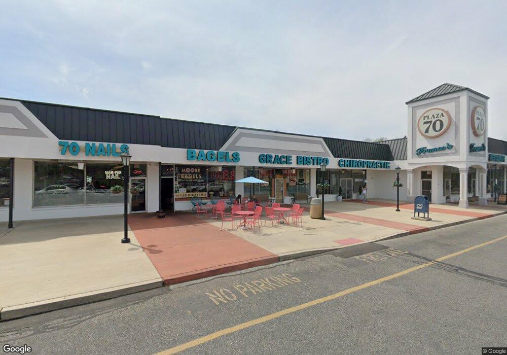
65 Route 70 E Unit 2 Marlton, NJ 08053
Estimated Value: $523,955
Studio
--
Bath
1,600
Sq Ft
$327/Sq Ft
Est. Value
About This Home
This home is located at 65 Route 70 E Unit 2, Marlton, NJ 08053 and is currently estimated at $523,955, approximately $327 per square foot. 65 Route 70 E Unit 2 is a home located in Burlington County with nearby schools including H.L. Beeler Elementary School, Marlton Middle School, and Cherokee High School.
Ownership History
Date
Name
Owned For
Owner Type
Purchase Details
Closed on
Jul 26, 2017
Sold by
2A Plaza Llc
Bought by
Chandniraj Llc
Current Estimated Value
Home Financials for this Owner
Home Financials are based on the most recent Mortgage that was taken out on this home.
Original Mortgage
$297,209
Outstanding Balance
$247,998
Interest Rate
3.96%
Estimated Equity
$275,957
Purchase Details
Closed on
Mar 6, 2007
Create a Home Valuation Report for This Property
The Home Valuation Report is an in-depth analysis detailing your home's value as well as a comparison with similar homes in the area
Home Values in the Area
Average Home Value in this Area
Purchase History
| Date | Buyer | Sale Price | Title Company |
|---|---|---|---|
| Chandniraj Llc | $295,777 | -- | |
| -- | -- | -- |
Source: Public Records
Mortgage History
| Date | Status | Borrower | Loan Amount |
|---|---|---|---|
| Open | Chandniraj Llc | $50,000 | |
| Open | Chandniraj Llc | $297,209 | |
| Closed | Chandniraj Llc | -- |
Source: Public Records
Tax History
| Year | Tax Paid | Tax Assessment Tax Assessment Total Assessment is a certain percentage of the fair market value that is determined by local assessors to be the total taxable value of land and additions on the property. | Land | Improvement |
|---|---|---|---|---|
| 2025 | $7,014 | $205,400 | $100,000 | $105,400 |
| 2024 | $6,600 | $205,400 | $100,000 | $105,400 |
| 2023 | $6,600 | $205,400 | $100,000 | $105,400 |
| 2022 | $6,304 | $205,400 | $100,000 | $105,400 |
| 2021 | $6,156 | $205,400 | $100,000 | $105,400 |
| 2020 | $6,076 | $205,400 | $100,000 | $105,400 |
| 2019 | $6,026 | $205,400 | $100,000 | $105,400 |
| 2018 | $5,942 | $205,400 | $100,000 | $105,400 |
| 2017 | $5,872 | $205,400 | $100,000 | $105,400 |
| 2016 | $5,729 | $205,400 | $100,000 | $105,400 |
| 2015 | $5,628 | $205,400 | $100,000 | $105,400 |
| 2014 | $5,468 | $205,400 | $100,000 | $105,400 |
Source: Public Records
Map
Nearby Homes
- 30 Cooper Ave
- 81 N Locust Ave Unit A
- 15 W Main St
- 81A N Locust Ave
- 81B N Locust Ave Unit A
- 6 Kingsley Ave
- 61 S Maple Ave
- 29 Marlborough Ave
- 23 King Ave
- 76 Kent Ave
- 196 Hunter Ct
- 802 Lindsey Ct Unit 802
- 139 Ramsey Ave
- 11 Heritage Rd
- 63 Banner Ct Unit 63
- 1 Bergan Ct
- 59 Marlborough Ave
- 6 Sussex Rd
- 53 Lexington Cir
- 1 Owl Ct
- 65 Route 70 E Unit 9
- 65 E Route 70 Unit 12
- 65 E Route 70 Unit 9
- 65 E Route 70 Unit 2
- 65 E Route 70
- 65 E Route 70
- 65 E Route 70
- 65 E Route 70
- 65 E Route 70
- 65 E Route 70
- 65 E Route 70
- 65 E Route 70
- 65 E Route 70
- 65 E Route 70
- 65 E Route 70
- 65 E Route 70 Unit 5A
- 65 E Route 70
- 65 E Route 70 Unit 11A
- 19 Cooper Ave
- 24 Cooper Ave
Your Personal Tour Guide
Ask me questions while you tour the home.