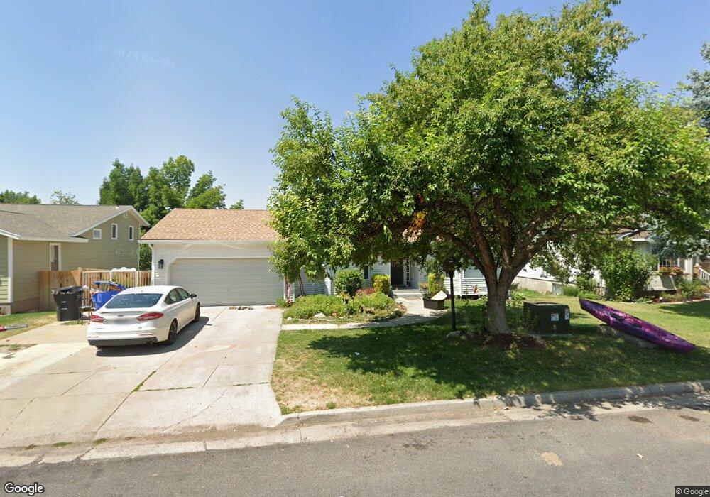
65 S 1300 E Logan, UT 84321
Wilson NeighborhoodEstimated Value: $458,000 - $503,000
About This Home
This home is located at 65 S 1300 E, Logan, UT 84321 and is currently estimated at $486,907, approximately $184 per square foot. 65 S 1300 E is a home located in Cache County with nearby schools including Wilson School, Mount Logan Middle School, and Logan High School.
Ownership History
We collect this data history from publicly available records. To have your information removed, we recommend requesting removal directly through your county’s website.
Purchase Details
Home Financials for this Owner
Home Financials are based on the most recent Mortgage that was taken out on this home.Purchase Details
Home Financials for this Owner
Home Financials are based on the most recent Mortgage that was taken out on this home.Purchase Details
Purchase Details
Purchase Details
Home Values in the Area
Average Home Value in this Area
Purchase History
We collect this data history from publicly available records. To have your information removed, we recommend requesting removal directly through your county’s website.
| Date | Buyer | Sale Price | Title Company |
|---|---|---|---|
| -- | Northern Title Company | ||
| -- | -- | ||
| -- | Cache Title | ||
| -- | None Available | ||
| -- | None Available |
Mortgage History
We collect this data history from publicly available records. To have your information removed, we recommend requesting removal directly through your county’s website.
| Date | Status | Borrower | Loan Amount |
|---|---|---|---|
| Open | $495,000 |
Tax History
We collect this data history from publicly available records. To have your information removed, we recommend requesting removal directly through your county’s website.
| Year | Tax Paid | Tax Assessment Tax Assessment Total Assessment is a certain percentage of the fair market value that is determined by local assessors to be the total taxable value of land and additions on the property. | Land | Improvement |
|---|---|---|---|---|
| 2025 | $1,850 | $239,270 | $0 | $0 |
| 2024 | $1,901 | $238,100 | $0 | $0 |
| 2023 | $1,976 | $235,895 | $0 | $0 |
| 2022 | $2,080 | $231,935 | $0 | $0 |
| 2021 | $1,732 | $298,320 | $64,800 | $233,520 |
| 2020 | $1,673 | $259,400 | $64,800 | $194,600 |
| 2019 | $1,491 | $221,145 | $64,800 | $156,345 |
| 2018 | $1,457 | $197,296 | $64,800 | $132,496 |
| 2017 | $1,349 | $96,570 | $0 | $0 |
| 2016 | $1,398 | $96,570 | $0 | $0 |
| 2015 | $1,400 | $96,570 | $0 | $0 |
| 2014 | $1,251 | $95,440 | $0 | $0 |
| 2013 | -- | $95,440 | $0 | $0 |
Map
- 1218 E 100 S
- 1345 E 100 S
- 1217 Eastridge Dr
- 30 Shadow Mountain Dr
- 1164 Mountain Rd
- 1290 Cliffside Dr
- 1533 Hayden Ct
- 27 Canterbury Ln
- 1532 Mount Logan Dr
- 83 Canterbury Cir
- 1452 Mountain Rd
- 965 Johnson Ln
- 1789 Mount Logan Dr
- 147 Winding Way Unit 50
- 327 N 1430 E
- 1045 Fox Farm Rd
- 1365 Sumac Dr
- 28 River Pointe Dr
- 814 Mountain Rd
- 1552 Sumac Dr
Ask me questions while you tour the home.