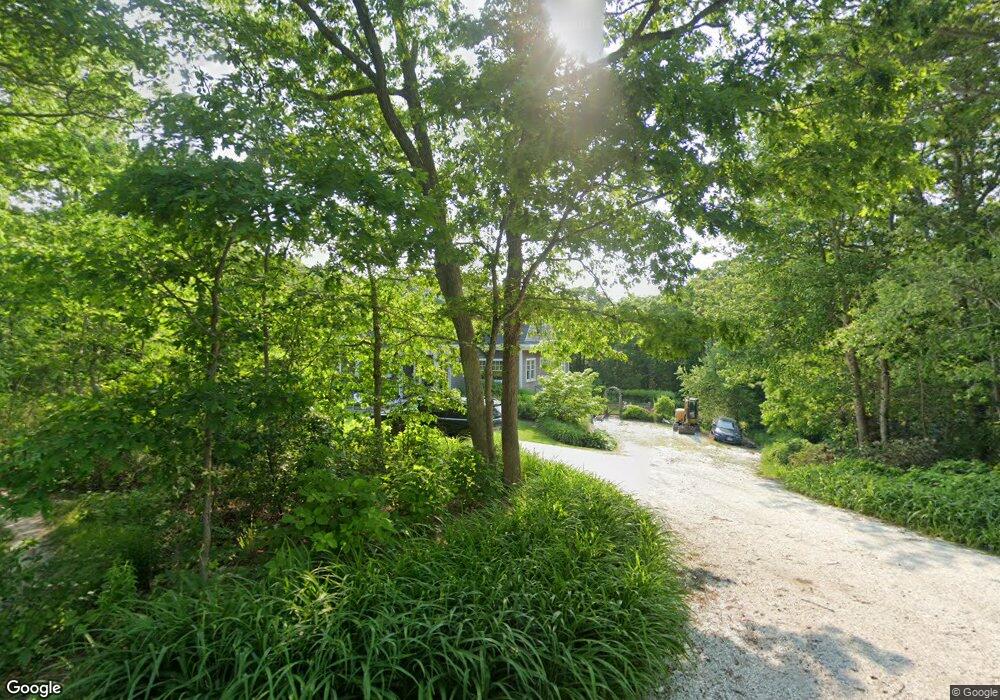
65 Squanto Rd Sagamore Beach, MA 02562
Estimated Value: $1,099,000 - $1,587,324
4
Beds
4
Baths
3,809
Sq Ft
$360/Sq Ft
Est. Value
About This Home
This home is located at 65 Squanto Rd, Sagamore Beach, MA 02562 and is currently estimated at $1,372,581, approximately $360 per square foot. 65 Squanto Rd is a home located in Barnstable County with nearby schools including Bourne High School, Bridgeview Montessori School, and New Testament Christian School.
Ownership History
Date
Name
Owned For
Owner Type
Purchase Details
Closed on
Dec 13, 2017
Sold by
Jakj Rt and Koldys
Bought by
Perry Donald
Current Estimated Value
Purchase Details
Closed on
Jun 4, 2013
Sold by
Joseph R Harold 3Rd Re and Harold
Bought by
Jakj Rt and Koldys
Purchase Details
Closed on
Oct 7, 2009
Sold by
Harold 3Rd Joseph R
Bought by
Joseph R Harold 3 Ret and Harold
Create a Home Valuation Report for This Property
The Home Valuation Report is an in-depth analysis detailing your home's value as well as a comparison with similar homes in the area
Home Values in the Area
Average Home Value in this Area
Purchase History
| Date | Buyer | Sale Price | Title Company |
|---|---|---|---|
| Perry Donald | -- | -- | |
| Perry Donald E | -- | -- | |
| Jakj Rt | $140,000 | -- | |
| Jakj Rt | $140,000 | -- | |
| Jakj Rt | $140,000 | -- | |
| Joseph R Harold 3 Ret | -- | -- | |
| Joseph R Harold 3 Ret | -- | -- | |
| Joseph R Harold 3 Ret | -- | -- |
Source: Public Records
Tax History
| Year | Tax Paid | Tax Assessment Tax Assessment Total Assessment is a certain percentage of the fair market value that is determined by local assessors to be the total taxable value of land and additions on the property. | Land | Improvement |
|---|---|---|---|---|
| 2025 | $10,426 | $1,335,000 | $284,200 | $1,050,800 |
| 2024 | $10,279 | $1,281,700 | $270,700 | $1,011,000 |
| 2023 | $10,007 | $1,135,900 | $239,500 | $896,400 |
| 2022 | $10,203 | $1,011,200 | $212,000 | $799,200 |
| 2021 | $9,648 | $895,800 | $192,900 | $702,900 |
| 2020 | $9,248 | $861,100 | $191,100 | $670,000 |
| 2019 | $8,721 | $829,800 | $191,100 | $638,700 |
| 2018 | $8,395 | $796,500 | $182,000 | $614,500 |
| 2017 | $7,912 | $768,200 | $165,900 | $602,300 |
| 2016 | $7,575 | $745,600 | $165,900 | $579,700 |
| 2015 | $2,751 | $273,200 | $132,700 | $140,500 |
Source: Public Records
Map
Nearby Homes
- 15 Mcgrath Rd
- 24 Lakewood Rd
- 133 Phillips Rd
- 1 Peaked Cliff Rd
- 8 Driftwood Ln
- 185 Phillips Rd
- 67 Phillips Rd
- 67 Phillips Rd
- 115 Phillips Rd
- 0 State Rd
- 16 Ocean Pines Dr Unit B
- 3 Dover Ln
- 31 Remington Ln
- 35 Remington Ln
- 14 Sir Lancelot Dr
- 17 Andrew Rd
- 40 Menotomy Rd
- 30 Pawtuxet Rd
- 36 Winston Ave
- 42 Cliffside Dr Unit 42
- 73 Squanto Rd
- 27 Manomet Rd
- 33 Wampanoag Rd
- 485 Williston Rd
- 36 Wampanoag Rd
- 30 Tecumseh Rd
- 485 Williston Rd
- 81 Squanto Rd
- 32 Tecumseh Rd
- 28 Tecumseh Rd
- 477 Williston Rd
- 475 Williston Rd
- 60 Squanto Rd
- 486 Williston Rd
- 24 Wampanoag Rd
- 24 Wampanoag Rd Unit 1
- 24 Wampanoag Rd Unit 22
- 492 Williston Rd
- 29 Brady Rd
- 24 Tecumseh Rd
Your Personal Tour Guide
Ask me questions while you tour the home.