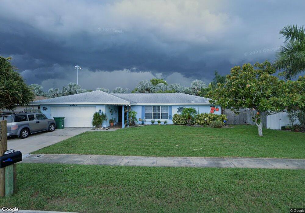
650 Caribbean Rd Satellite Beach, FL 32937
Estimated Value: $514,000 - $579,000
About This Home
This home is located at 650 Caribbean Rd, Satellite Beach, FL 32937 and is currently estimated at $539,520, approximately $322 per square foot. 650 Caribbean Rd is a home located in Brevard County with nearby schools including Ocean Breeze Elementary School, Satellite Senior High School, and DeLaura Middle School.
Ownership History
We collect this data history from publicly available records. To have your information removed, we recommend requesting removal directly through your county’s website.
Purchase Details
Home Financials for this Owner
Home Financials are based on the most recent Mortgage that was taken out on this home.Home Values in the Area
Average Home Value in this Area
Purchase History
We collect this data history from publicly available records. To have your information removed, we recommend requesting removal directly through your county’s website.
| Date | Buyer | Sale Price | Title Company |
|---|---|---|---|
| $302,000 | Title Security & Escrow Of C |
Mortgage History
We collect this data history from publicly available records. To have your information removed, we recommend requesting removal directly through your county’s website.
| Date | Status | Borrower | Loan Amount |
|---|---|---|---|
| Open | $115,000 |
Tax History
We collect this data history from publicly available records. To have your information removed, we recommend requesting removal directly through your county’s website.
| Year | Tax Paid | Tax Assessment Tax Assessment Total Assessment is a certain percentage of the fair market value that is determined by local assessors to be the total taxable value of land and additions on the property. | Land | Improvement |
|---|---|---|---|---|
| 2025 | $2,718 | $180,970 | -- | -- |
| 2024 | $2,671 | $175,870 | -- | -- |
| 2023 | $2,671 | $170,750 | $0 | $0 |
| 2022 | $2,498 | $165,780 | $0 | $0 |
| 2021 | $2,569 | $160,960 | $0 | $0 |
| 2020 | $2,559 | $158,740 | $0 | $0 |
| 2019 | $2,539 | $155,180 | $0 | $0 |
| 2018 | $2,538 | $152,290 | $0 | $0 |
| 2017 | $2,371 | $149,160 | $0 | $0 |
| 2016 | $2,375 | $146,100 | $85,000 | $61,100 |
| 2015 | $2,432 | $145,090 | $75,000 | $70,090 |
| 2014 | $2,434 | $143,940 | $70,000 | $73,940 |
Map
- 475 Kingston Rd
- 695 Trinidad Ct
- 413 Trinidad Dr
- 475 E Amherst Cir
- 517 Summerset Ct
- 519 Summerset Ct
- 637 Desoto Ln
- 74 Anchor Dr
- 420 Hawthorne Ct
- 50 Anchor Dr
- 107 Windward Way
- 521 Island Ct
- 122 Windward Way
- 276 Lynn Ave
- 35 Anchor Dr
- 655 N Robin Way
- 482 Saint Johns Dr
- 515 Inwood Ln
- 138 Windward Way
- 650 Verbenia Dr
- 665 Caribbean Rd
- 655 Caribbean Rd
- 498 Kingston Rd
- 490 Kingston Rd
- 675 Caribbean Rd
- 645 Caribbean Rd
- 660 Caribbean Rd
- 460 Caribbean Dr
- 480 Kingston Rd
- 670 Caribbean Rd
- 640 Caribbean Rd
- 635 Caribbean Rd
- 674 Caribbean Rd
- 470 Caribbean Dr
- 470 Kingston Rd
- 677 Caribbean Rd
- 495 Kingston Rd
- 496 Trinidad Dr
- 630 Caribbean Rd
- 485 Kingston Rd
Ask me questions while you tour the home.