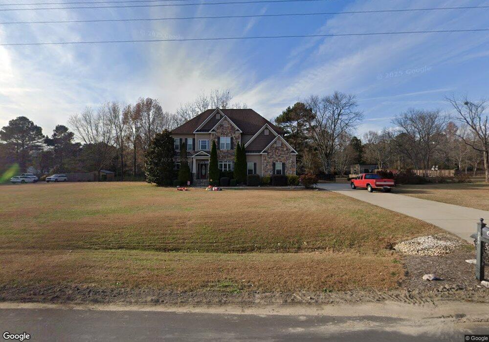
650 Cole Rd Clayton, NC 27520
Estimated Value: $558,000 - $674,000
4
Beds
4
Baths
3,278
Sq Ft
$192/Sq Ft
Est. Value
About This Home
This home is located at 650 Cole Rd, Clayton, NC 27520 and is currently estimated at $630,671, approximately $192 per square foot. 650 Cole Rd is a home located in Johnston County with nearby schools including Polenta Elementary School, Swift Creek Middle, and Cleveland High School.
Ownership History
Date
Name
Owned For
Owner Type
Purchase Details
Closed on
Jan 14, 2021
Sold by
Thurston Duke and Thurston Elizabeth
Bought by
Vaughn Stephen R and Vaughn Samantha
Current Estimated Value
Home Financials for this Owner
Home Financials are based on the most recent Mortgage that was taken out on this home.
Original Mortgage
$474,905
Outstanding Balance
$423,854
Interest Rate
2.71%
Mortgage Type
New Conventional
Estimated Equity
$206,817
Purchase Details
Closed on
Dec 20, 2006
Sold by
Carter Virginia Lavern and Estate Of Billy Ray Yawn
Bought by
Thurston Duke and Thurston Elizabeth
Home Financials for this Owner
Home Financials are based on the most recent Mortgage that was taken out on this home.
Original Mortgage
$44,288
Interest Rate
6.1%
Mortgage Type
Construction
Create a Home Valuation Report for This Property
The Home Valuation Report is an in-depth analysis detailing your home's value as well as a comparison with similar homes in the area
Home Values in the Area
Average Home Value in this Area
Purchase History
| Date | Buyer | Sale Price | Title Company |
|---|---|---|---|
| Vaughn Stephen R | $500,000 | None Available | |
| Thurston Duke | $44,000 | None Available |
Source: Public Records
Mortgage History
| Date | Status | Borrower | Loan Amount |
|---|---|---|---|
| Open | Vaughn Stephen R | $474,905 | |
| Previous Owner | Thurston Duke | $44,288 |
Source: Public Records
Tax History
| Year | Tax Paid | Tax Assessment Tax Assessment Total Assessment is a certain percentage of the fair market value that is determined by local assessors to be the total taxable value of land and additions on the property. | Land | Improvement |
|---|---|---|---|---|
| 2025 | $3,843 | $605,220 | $85,000 | $520,220 |
| 2024 | $3,489 | $430,790 | $63,690 | $367,100 |
| 2023 | $3,317 | $430,790 | $63,690 | $367,100 |
| 2022 | $3,403 | $430,790 | $63,690 | $367,100 |
| 2021 | $3,032 | $383,480 | $63,690 | $319,790 |
| 2020 | $3,156 | $383,480 | $63,690 | $319,790 |
| 2019 | $3,155 | $383,480 | $63,690 | $319,790 |
| 2018 | $2,834 | $334,930 | $48,400 | $286,530 |
| 2017 | $2,835 | $334,930 | $48,400 | $286,530 |
| 2016 | $2,813 | $334,930 | $48,400 | $286,530 |
| 2015 | $2,813 | $334,930 | $48,400 | $286,530 |
| 2014 | $2,813 | $334,930 | $48,400 | $286,530 |
Source: Public Records
Map
Nearby Homes
- 00 Cooper Branch Rd
- 154 N Chubb Ridge
- 149 N Chubb Ridge
- 559 Wilson Jones Rd
- 130 N Chubb Ridge
- 28 Fox Run Path
- 115 Valvanos Way
- 168 S Meyers Ct
- 172 S Meyers Ct
- 130 S Gallaspy Dr
- 169 S Meyers Ct
- 171 S Meyers Ct
- 173 S Meyers Ct
- 134 S Gallaspy Dr
- 308 Legare Ct
- 107 Garden Row Ln
- 133 S Meyers Ct
- 111 S Rose Hill Dr
- 125 Flying Point Ln
- 507 Dungannon Loop
Your Personal Tour Guide
Ask me questions while you tour the home.