650 Mcneil Rd Winnemucca, NV 89445
Estimated Value: $231,000 - $464,376
6
Beds
4
Baths
2,399
Sq Ft
$155/Sq Ft
Est. Value
About This Home
This home is located at 650 Mcneil Rd, Winnemucca, NV 89445 and is currently estimated at $371,459, approximately $154 per square foot. 650 Mcneil Rd is a home located in Pershing County with nearby schools including Pershing County Middle School and Pershing County High School.
Ownership History
Date
Name
Owned For
Owner Type
Purchase Details
Closed on
Feb 16, 2024
Sold by
Gorley James R
Bought by
Gorley James R and Gorley Demi
Current Estimated Value
Home Financials for this Owner
Home Financials are based on the most recent Mortgage that was taken out on this home.
Original Mortgage
$223,850
Outstanding Balance
$219,804
Interest Rate
6.49%
Mortgage Type
FHA
Estimated Equity
$151,655
Purchase Details
Closed on
Dec 8, 1995
Sold by
Anderson Charlene F
Bought by
Gorley James R
Create a Home Valuation Report for This Property
The Home Valuation Report is an in-depth analysis detailing your home's value as well as a comparison with similar homes in the area
Purchase History
| Date | Buyer | Sale Price | Title Company |
|---|---|---|---|
| Gorley James R | $44,500 | None Listed On Document | |
| Gorley James R | $12,000 | -- |
Source: Public Records
Mortgage History
| Date | Status | Borrower | Loan Amount |
|---|---|---|---|
| Open | Gorley James R | $223,850 |
Source: Public Records
Tax History
| Year | Tax Paid | Tax Assessment Tax Assessment Total Assessment is a certain percentage of the fair market value that is determined by local assessors to be the total taxable value of land and additions on the property. | Land | Improvement |
|---|---|---|---|---|
| 2025 | $1,739 | $45,600 | $4,345 | $41,255 |
| 2024 | $1,739 | $46,899 | $4,345 | $42,554 |
| 2023 | $1,739 | $48,230 | $4,345 | $43,885 |
| 2022 | $1,515 | $43,635 | $4,345 | $39,290 |
| 2021 | $1,367 | $39,396 | $4,345 | $35,051 |
| 2020 | $1,338 | $35,892 | $1,940 | $33,952 |
| 2019 | $1,282 | $38,344 | $1,940 | $36,404 |
| 2018 | $1,248 | $36,428 | $1,940 | $34,488 |
| 2017 | $1,248 | $36,421 | $1,940 | $34,481 |
| 2016 | $1,243 | $37,423 | $1,940 | $35,483 |
| 2015 | $1,238 | $37,539 | $1,940 | $35,599 |
| 2014 | $1,238 | $37,657 | $1,940 | $35,717 |
Source: Public Records
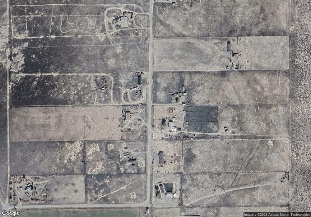
Map
Nearby Homes
- T34
- 2625 Muddy Rd
- 3139 Muddy Rd
- 90 Bitler Rd
- 009-040-21 Muddy Rd
- 80 acres Muddy Rd
- 14-0251-04 Wild Horse Rd
- 155 Misty Ct
- APN 14-0261-10 Moose Dr
- APN 14-0261-09 Moose Dr
- 6055 Amos Dr
- 3075 Cougar Ct
- 6410 Tausha Dr
- 1415 van Diest Rd
- 6300 Sandi Dr
- 00916106 Valley View Dr
- 0 Bighorn St Unit Winnemucca NV 89445
- 225 Hawk St
- APN: 009-162-05
- 00 Logan Rd Unit 9-220-16
- 600 Mcneil Rd
- 605 Mcneil Rd
- 755 Mcneil Rd
- 575 Mcneil Rd
- 850 Mcneil Rd
- 505 Mcneil Rd
- 260 Mcneil Rd
- 305 Mcneil Rd
- 555 Mcneil Rd
- 700 Mcneil Rd
- 6300 Bear Grass Rd
- 405 Mcneil Rd
- 270 Mcneil Rd
- 270 Mcneil Rd
- 355 Mcneil Rd
- 2225 Herschell Rd
- 2200 Herschell Rd
- 2705 S Herschel
- 009 Herschell Rd
- 6305 Bear Grass Rd
Your Personal Tour Guide
Ask me questions while you tour the home.