6500 Bevin Dr Macon, GA 31216
Estimated Value: $226,000 - $336,000
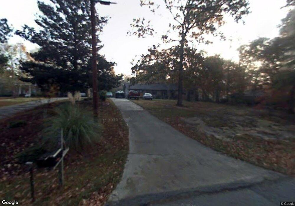
About This Home
This home is located at 6500 Bevin Dr, Macon, GA 31216 and is currently estimated at $290,518, approximately $90 per square foot. 6500 Bevin Dr is a home located in Bibb County with nearby schools including Heard Elementary School, Rutland Middle School, and Rutland High School.
Ownership History
We collect this data history from publicly available records. To have your information removed, we recommend requesting removal directly through your county’s website.
Purchase Details
Home Financials for this Owner
Home Financials are based on the most recent Mortgage that was taken out on this home.Purchase Details
Home Financials for this Owner
Home Financials are based on the most recent Mortgage that was taken out on this home.Purchase History
We collect this data history from publicly available records. To have your information removed, we recommend requesting removal directly through your county’s website.
| Date | Buyer | Sale Price | Title Company |
|---|---|---|---|
| -- | -- | ||
| -- | None Avelable |
Mortgage History
We collect this data history from publicly available records. To have your information removed, we recommend requesting removal directly through your county’s website.
| Date | Status | Borrower | Loan Amount |
|---|---|---|---|
| Open | $157,712 | ||
| Previous Owner | $29,000 |
Tax History
We collect this data history from publicly available records. To have your information removed, we recommend requesting removal directly through your county’s website.
| Year | Tax Paid | Tax Assessment Tax Assessment Total Assessment is a certain percentage of the fair market value that is determined by local assessors to be the total taxable value of land and additions on the property. | Land | Improvement |
|---|---|---|---|---|
| 2025 | $2,024 | $96,929 | $10,220 | $86,709 |
| 2024 | $2,094 | $96,929 | $10,220 | $86,709 |
| 2023 | $2,217 | $89,232 | $10,220 | $79,012 |
| 2022 | $2,891 | $97,401 | $6,590 | $90,811 |
| 2021 | $2,556 | $81,116 | $5,272 | $75,844 |
| 2020 | $2,112 | $68,264 | $4,393 | $63,871 |
| 2019 | $2,129 | $68,264 | $4,393 | $63,871 |
| 2018 | $3,439 | $68,264 | $4,393 | $63,871 |
| 2017 | $1,475 | $53,543 | $3,912 | $49,631 |
| 2016 | $1,352 | $53,543 | $3,912 | $49,631 |
| 2015 | $1,919 | $53,543 | $3,912 | $49,631 |
| 2014 | $1,406 | $43,064 | $3,912 | $39,152 |
Map
- 6432 Ponderosa Dr
- 3150 Holleman Dr
- 201 Liberty Trace
- 6689 Chriswood Dr
- 6698 Chriswood Dr
- 6266 Houston Rd
- 6045 Cara Dr
- 4068 Liberty Estates Dr
- 189 Stonefield Cir
- 405 Stonecrest Ct
- 421 Resting Fawn Place
- 3261 Walden Rd
- 297 Amanda Dr
- 308 Ellis Ct
- 3708 Jones Rd
- 328 Pheasant Run Trail
- 116 Sarakay Cir
- 115 Sarakay Cir
- 813 Ocala National Trail
- 5910 Houston Rd
Ask me questions while you tour the home.