651 Redwing Rd Ardmore, OK 73401
Estimated Value: $230,152 - $513,000
3
Beds
2
Baths
2,790
Sq Ft
$131/Sq Ft
Est. Value
About This Home
This home is located at 651 Redwing Rd, Ardmore, OK 73401 and is currently estimated at $365,788, approximately $131 per square foot. 651 Redwing Rd is a home located in Carter County with nearby schools including Springer Elementary School and Springer High School.
Ownership History
Date
Name
Owned For
Owner Type
Purchase Details
Closed on
Sep 30, 2024
Sold by
Ardmore Development Authority
Bought by
Wp Global Llc
Current Estimated Value
Purchase Details
Closed on
Feb 8, 2024
Sold by
Greenway Victoria
Bought by
Wp Global Llc
Purchase Details
Closed on
Jan 7, 2021
Sold by
Bennett Tanna and Bennett Tyson
Bought by
Greenway Victoria E
Create a Home Valuation Report for This Property
The Home Valuation Report is an in-depth analysis detailing your home's value as well as a comparison with similar homes in the area
Purchase History
| Date | Buyer | Sale Price | Title Company |
|---|---|---|---|
| Wp Global Llc | -- | None Listed On Document | |
| Wp Global Llc | $500,000 | First American Title | |
| Greenway Victoria E | $2,500 | None Available |
Source: Public Records
Tax History
| Year | Tax Paid | Tax Assessment Tax Assessment Total Assessment is a certain percentage of the fair market value that is determined by local assessors to be the total taxable value of land and additions on the property. | Land | Improvement |
|---|---|---|---|---|
| 2025 | $1,172 | $15,203 | $1,440 | $13,763 |
| 2024 | $1,183 | $14,760 | $1,440 | $13,320 |
| 2023 | $1,146 | $14,330 | $1,440 | $12,890 |
| 2022 | $1,073 | $13,462 | $1,440 | $12,022 |
| 2021 | $1,086 | $13,462 | $1,440 | $12,022 |
| 2020 | $1,087 | $13,462 | $1,440 | $12,022 |
| 2019 | $1,056 | $13,237 | $1,440 | $11,797 |
| 2018 | $1,053 | $12,851 | $1,440 | $11,411 |
| 2017 | $1,095 | $13,195 | $1,440 | $11,755 |
| 2016 | $1,101 | $13,306 | $864 | $12,442 |
| 2015 | $1,156 | $13,638 | $360 | $13,278 |
| 2014 | $1,225 | $14,388 | $360 | $14,028 |
Source: Public Records
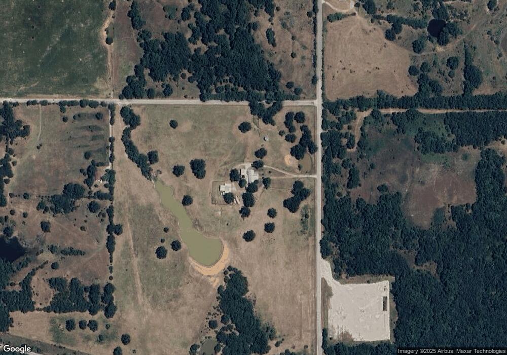
Map
Nearby Homes
- 00 Redwing Rd
- 0.68 Acre Parcel
- Two 0.74 Acre (Both Equal 1 48 Acre Parcel Total)
- Two 1.39
- 586 Grassland Rd
- 2304 Pleasant Rd
- 0 Grassland Rd Unit 2544291
- 0 Grassland Rd Unit 2544372
- 0 Grassland Rd Unit 2544109
- 441 Rambler Rd
- 203 Fernwood Rd
- 0 Refinery Rd Unit 2610693
- 1400 Saybrook Rd
- 4539 Pleasant Rd
- 1506 Saybrook Rd
- 503 Forest Lane Rd
- 6600 Refinery Rd
- 705 Butler St
- 17506 U S 77
- 14823 U S 77
- 255 Calvery Rd
- 862 Redwing Rd
- 987 Redwing Rd
- 974 Redwing Rd
- 509 Calvery Rd
- 191 Redwing Rd
- 1101 Redwing Rd
- 5104 State Highway 53
- 654 Calvery Rd
- 915 Calvery Rd
- 4773 State Highway 53
- 5104 Hw 53
- 1050 Calvery Rd
- 5238 State Highway 53
- 135 Lumberman Rd
- 5095 State Hwy 53
- 5412 State Highway 53
- 259 Lumberman Rd
- 1180 Sawmill Rd
- 5504 State Highway 53
Your Personal Tour Guide
Ask me questions while you tour the home.