65101 Mathews Rd Cambridge, OH 43725
Estimated Value: $285,000 - $396,645
Studio
1
Bath
2,332
Sq Ft
$151/Sq Ft
Est. Value
About This Home
This home is located at 65101 Mathews Rd, Cambridge, OH 43725 and is currently estimated at $351,161, approximately $150 per square foot. 65101 Mathews Rd is a home with nearby schools including Pike Elementary School, East Muskingum Middle School, and Larry Miller Intermediate Elementary School.
Ownership History
Date
Name
Owned For
Owner Type
Purchase Details
Closed on
Aug 16, 2019
Sold by
Cowden Jerold A and Cowden Teresa K
Bought by
St Clair James M and St Clair Christi L
Current Estimated Value
Home Financials for this Owner
Home Financials are based on the most recent Mortgage that was taken out on this home.
Original Mortgage
$255,000
Outstanding Balance
$220,892
Interest Rate
3.7%
Mortgage Type
Unknown
Estimated Equity
$130,269
Purchase Details
Closed on
Feb 9, 2012
Sold by
Cowden Jerold A and Cowden Jerald A
Bought by
Cowden Jerold A and Cowden Teresa K
Create a Home Valuation Report for This Property
The Home Valuation Report is an in-depth analysis detailing your home's value as well as a comparison with similar homes in the area
Purchase History
| Date | Buyer | Sale Price | Title Company |
|---|---|---|---|
| St Clair James M | $300,000 | Secure Title Services Ltd | |
| Cowden Jerold A | -- | None Available |
Source: Public Records
Mortgage History
| Date | Status | Borrower | Loan Amount |
|---|---|---|---|
| Open | St Clair James M | $255,000 |
Source: Public Records
Tax History
| Year | Tax Paid | Tax Assessment Tax Assessment Total Assessment is a certain percentage of the fair market value that is determined by local assessors to be the total taxable value of land and additions on the property. | Land | Improvement |
|---|---|---|---|---|
| 2025 | $4,647 | $115,791 | $12,509 | $103,282 |
| 2024 | $4,647 | $115,791 | $12,509 | $103,282 |
| 2023 | $4,493 | $92,630 | $10,006 | $82,624 |
| 2022 | $3,911 | $92,650 | $10,010 | $82,640 |
| 2021 | $3,787 | $92,650 | $10,010 | $82,640 |
| 2020 | $2,513 | $60,850 | $7,540 | $53,310 |
| 2019 | $2,328 | $60,850 | $7,540 | $53,310 |
| 2018 | $168 | $60,850 | $7,540 | $53,310 |
| 2017 | $174 | $52,730 | $6,550 | $46,180 |
| 2016 | $2,133 | $52,730 | $6,550 | $46,180 |
| 2015 | $2,133 | $51,970 | $6,550 | $45,420 |
| 2014 | $2,000 | $47,040 | $5,750 | $41,290 |
| 2013 | $1,958 | $47,040 | $5,750 | $41,290 |
Source: Public Records
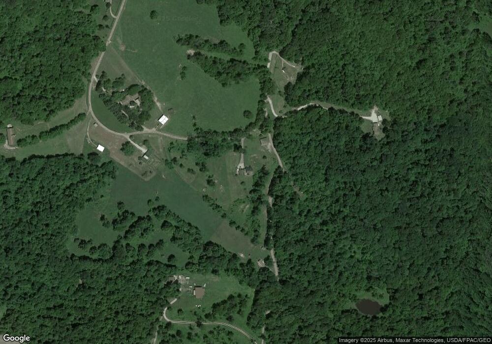
Map
Nearby Homes
- 3805 Botson Ln
- 0 Haught Rd Unit 5180764
- 0 Haught Rd Unit 5181769
- 64473 Haught Rd
- 4542 Bloomfield Rd
- 13800 Stoney Point Rd
- 5495 College Hill Rd
- 2250 Indian Camp Run Rd
- 5617 Skyline Dr
- 5721 Skyline Dr
- 148 Merrick Rd
- 6123 Fairdale Dr
- 0 Sarchets Run Rd Unit 5199458
- 0 Sarchets Run Rd Unit 5199462
- 0 Sarchets Run Rd Unit 5199453
- 0 Sarchets Run Rd Unit 5199447
- 61266 Kent Ln
- 122 Myrna Dr
- 61220 Kadon Dr
- Lot 18 & 19 Greenbriar Dr
- 65121 Mathews Rd
- 65238 Lovers Lane Rd
- 65200 Lovers Lane Rd
- 65275 Mathews Rd
- 65373 Mathews Rd
- 65465 Mathews Rd
- 64978 Lovers Lane Rd
- 65485 Lovers Lane Rd
- 65497 Lovers Lane Rd
- 65555 Mathews Rd
- 65578 Mathews Rd
- 2858 Bloomfield Rd
- 2864 Bloomfield Rd
- 3382 Bloomfield Rd
- 3081 Bloomfield Rd
- 3460 Bloomfield Rd
- 64738 Campfire Rd
- 64688 Campfire Rd
- 3297 Bloomfield Rd
- 64827 Bobs Run Rd
Your Personal Tour Guide
Ask me questions while you tour the home.