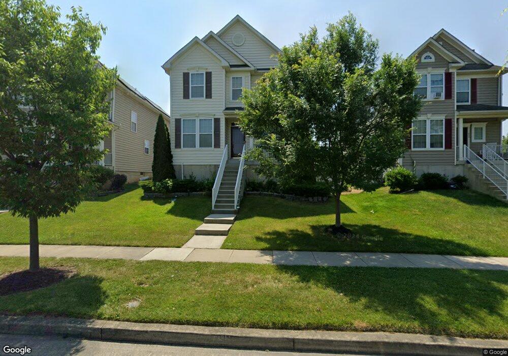
652 Compass Rd E Middle River, MD 21220
Estimated Value: $405,381 - $477,000
Studio
4
Baths
2,712
Sq Ft
$168/Sq Ft
Est. Value
About This Home
This home is located at 652 Compass Rd E, Middle River, MD 21220 and is currently estimated at $456,345, approximately $168 per square foot. 652 Compass Rd E is a home located in Baltimore County with nearby schools including Glenmar Elementary School, Middle River Middle School, and Kenwood High.
Ownership History
Date
Name
Owned For
Owner Type
Purchase Details
Closed on
Jan 19, 2010
Sold by
The Ryland Group Inc
Bought by
Arenas Teofista M and Aquino Virginia A
Current Estimated Value
Create a Home Valuation Report for This Property
The Home Valuation Report is an in-depth analysis detailing your home's value as well as a comparison with similar homes in the area
Home Values in the Area
Average Home Value in this Area
Purchase History
| Date | Buyer | Sale Price | Title Company |
|---|---|---|---|
| Arenas Teofista M | $299,422 | -- |
Source: Public Records
Tax History
| Year | Tax Paid | Tax Assessment Tax Assessment Total Assessment is a certain percentage of the fair market value that is determined by local assessors to be the total taxable value of land and additions on the property. | Land | Improvement |
|---|---|---|---|---|
| 2025 | $4,449 | $365,633 | -- | -- |
| 2024 | $4,449 | $333,367 | $0 | $0 |
| 2023 | $2,181 | $301,100 | $105,000 | $196,100 |
| 2022 | $4,208 | $296,567 | $0 | $0 |
| 2021 | $4,041 | $292,033 | $0 | $0 |
| 2020 | $4,041 | $287,500 | $105,000 | $182,500 |
| 2019 | $4,117 | $280,200 | $0 | $0 |
| 2018 | $4,178 | $272,900 | $0 | $0 |
| 2017 | $3,839 | $265,600 | $0 | $0 |
| 2016 | $3,607 | $256,267 | $0 | $0 |
| 2015 | $3,607 | $246,933 | $0 | $0 |
| 2014 | $3,607 | $237,600 | $0 | $0 |
Source: Public Records
Map
Nearby Homes
- 710 Luke Rd
- 9707 Selfridge Rd
- 9663 Davison Rd
- 139 Transverse Ave
- 17 Taos Cir
- 812 Corktree Rd
- 816 Thimbleberry Rd
- 66 Transverse Ave
- 57 Transverse Ave
- 1800 Watermark Way
- 0 Wampler Rd Unit MDBC2153670
- 0 Wampler Rd Unit MDBC2107084
- 302 Endsleigh Ave
- 10 Cowl Ct
- 301 Endsleigh Ave
- 236 Endsleigh Ave
- 237 Endsleigh Ave
- 8 Control Ct
- 39 Transverse Ave
- 214 Ballard Ave
- 654 Compass Rd E
- 650 Compass Rd E
- 725 Macdill Rd
- 656 Compass Rd E
- 723 Macdill Rd
- 658 Compass Rd E
- 724 Luke Rd
- 730 Peterson Rd
- 721 Macdill Rd
- 722 Luke Rd
- 728 Peterson Rd
- 720 Luke Rd
- 726 Peterson Rd
- 660 Compass Rd E
- 718 Luke Rd
- 717 Macdill Rd
- 600 Compass Rd
- 723 Luke Rd
- 662 Compass Rd E
- 724 Peterson Rd
Your Personal Tour Guide
Ask me questions while you tour the home.