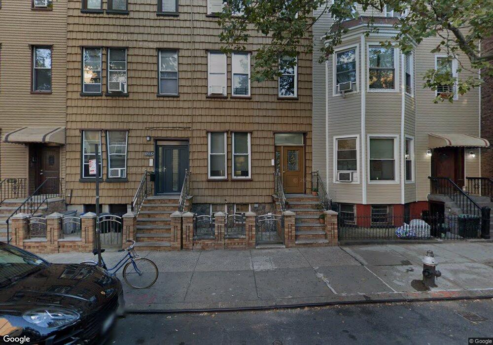
652 Leonard St Unit A Brooklyn, NY 11222
Greenpoint NeighborhoodEstimated Value: $1,634,000 - $2,993,000
Studio
--
Bath
2,904
Sq Ft
$801/Sq Ft
Est. Value
About This Home
This home is located at 652 Leonard St Unit A, Brooklyn, NY 11222 and is currently estimated at $2,327,333, approximately $801 per square foot. 652 Leonard St Unit A is a home located in Kings County with nearby schools including P.S. 34 Oliver H Perry, Yeshiva Bnos Ahavas Israel, and St. Stanislaus Kostka Catholic Academy.
Ownership History
Date
Name
Owned For
Owner Type
Purchase Details
Closed on
May 8, 2017
Sold by
Maj Ewa
Bought by
Mark Z Maj Trustee
Current Estimated Value
Purchase Details
Closed on
Jul 26, 1996
Sold by
Scheiblich Richard C
Bought by
Maj Ewa and Ludwikowski Christopher
Home Financials for this Owner
Home Financials are based on the most recent Mortgage that was taken out on this home.
Original Mortgage
$135,000
Interest Rate
7%
Mortgage Type
Seller Take Back
Create a Home Valuation Report for This Property
The Home Valuation Report is an in-depth analysis detailing your home's value as well as a comparison with similar homes in the area
Home Values in the Area
Average Home Value in this Area
Purchase History
We collect this data history from publicly available records. To have your information removed, we recommend requesting removal directly through your county’s website.
| Date | Buyer | Sale Price | Title Company |
|---|---|---|---|
| Mark Z Maj Trustee | -- | -- | |
| Maj Ewa | $150,000 | -- |
Source: Public Records
Mortgage History
We collect this data history from publicly available records. To have your information removed, we recommend requesting removal directly through your county’s website.
| Date | Status | Borrower | Loan Amount |
|---|---|---|---|
| Previous Owner | Maj Ewa | $135,000 |
Source: Public Records
Tax History
| Year | Tax Paid | Tax Assessment Tax Assessment Total Assessment is a certain percentage of the fair market value that is determined by local assessors to be the total taxable value of land and additions on the property. | Land | Improvement |
|---|---|---|---|---|
| 2026 | $6,217 | $155,700 | $16,860 | $138,840 |
| 2025 | $5,872 | $138,180 | $16,860 | $121,320 |
| 2024 | $5,872 | $127,680 | $16,860 | $110,820 |
| 2023 | $5,938 | $112,860 | $16,860 | $96,000 |
| 2022 | $5,579 | $110,400 | $16,860 | $93,540 |
| 2021 | $5,753 | $105,960 | $16,860 | $89,100 |
| 2019 | $5,097 | $134,040 | $16,860 | $117,180 |
| 2018 | $4,967 | $24,364 | $3,049 | $21,315 |
| 2017 | $4,747 | $23,288 | $4,599 | $18,689 |
| 2016 | $4,554 | $22,780 | $6,073 | $16,707 |
| 2015 | $2,650 | $21,496 | $5,589 | $15,907 |
| 2014 | $2,650 | $20,304 | $6,010 | $14,294 |
Source: Public Records
Map
Nearby Homes
- 183 McGuinness Blvd Unit 3 A
- 269 Eckford St Unit 3A
- 216 Calyer St Unit 1A
- 216 Calyer St Unit 1B
- 216 Calyer St Unit 3A
- 216 Calyer St Unit 2A
- 216 Calyer St Unit 5A
- 215 Calyer St Unit 1
- 215 Calyer St Unit 4
- 147 Diamond St
- 1023 Lorimer St
- 171 Calyer St Unit 3 E
- 100 Newel St Unit 4R
- 977 Lorimer St
- 575A Leonard St
- 67 Norman Ave
- 147 Eckford St
- 1080 Lorimer St Unit 1-F
- 192 Guernsey St
- 65 Jewel St
- 236 Eckford St
- 236 Eckford St Unit 2L
- 234 Eckford St
- 142 Meserole Ave
- 232 Eckford St Unit 3-B
- 232 Eckford St Unit PH-1
- 232 Eckford St Unit TH
- 232 Eckford St Unit PH
- 232 Eckford St Unit 3-R
- 232 Eckford St
- 232 Eckford St Unit 3-F
- 232 Eckford St Unit TOWNHOUSE
- 140 Meserole Ave
- 140 Meserole Ave Unit 1
- 144 Meserole Ave
- 230 Eckford St
- 138 Meserole Ave Unit 1
- 138 Meserole Ave
- 138 Meserole Ave Unit 3b
- 138 Meserole Ave Unit 3L
Your Personal Tour Guide
Ask me questions while you tour the home.