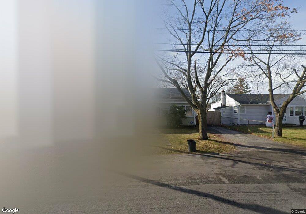
653 N Monroe Ave Lindenhurst, NY 11757
Estimated Value: $485,024 - $652,000
Studio
--
Bath
1,609
Sq Ft
$361/Sq Ft
Est. Value
About This Home
This home is located at 653 N Monroe Ave, Lindenhurst, NY 11757 and is currently estimated at $581,006, approximately $361 per square foot. 653 N Monroe Ave is a home located in Suffolk County with nearby schools including Daniel Street School, Lindenhurst Middle School, and Lindenhurst Senior High School.
Ownership History
Date
Name
Owned For
Owner Type
Purchase Details
Closed on
Nov 15, 2011
Sold by
Donelon Jamison J
Bought by
Donelon Patrick M and Donelon Helen A
Current Estimated Value
Home Financials for this Owner
Home Financials are based on the most recent Mortgage that was taken out on this home.
Original Mortgage
$125,000
Interest Rate
4%
Purchase Details
Closed on
Sep 16, 1999
Sold by
Donelon Frank M
Bought by
Donelon Jamison J
Create a Home Valuation Report for This Property
The Home Valuation Report is an in-depth analysis detailing your home's value as well as a comparison with similar homes in the area
Home Values in the Area
Average Home Value in this Area
Purchase History
| Date | Buyer | Sale Price | Title Company |
|---|---|---|---|
| Donelon Patrick M | -- | All State | |
| Donelon Jamison J | -- | First American Title Ins Co |
Source: Public Records
Mortgage History
| Date | Status | Borrower | Loan Amount |
|---|---|---|---|
| Previous Owner | Donelon Patrick M | $125,000 |
Source: Public Records
Tax History
| Year | Tax Paid | Tax Assessment Tax Assessment Total Assessment is a certain percentage of the fair market value that is determined by local assessors to be the total taxable value of land and additions on the property. | Land | Improvement |
|---|---|---|---|---|
| 2024 | $13,012 | $3,180 | $150 | $3,030 |
| 2023 | $11,634 | $3,180 | $150 | $3,030 |
| 2022 | $10,104 | $3,180 | $150 | $3,030 |
| 2021 | $10,104 | $3,180 | $150 | $3,030 |
| 2020 | $10,163 | $3,180 | $150 | $3,030 |
| 2019 | $10,163 | $0 | $0 | $0 |
| 2018 | -- | $3,180 | $150 | $3,030 |
| 2017 | $8,313 | $3,180 | $150 | $3,030 |
| 2016 | $8,674 | $3,180 | $150 | $3,030 |
| 2015 | -- | $3,180 | $150 | $3,030 |
| 2014 | -- | $3,180 | $150 | $3,030 |
Source: Public Records
Map
Nearby Homes
- 690 N Hamilton Ave
- 285 Daniel St
- 581 Grand Ave
- 551 Grand Ave
- 475 N Putnam Ave
- 477 N Indiana Ave
- 417 N Monroe Ave
- 449 N Indiana Ave
- 831 N Erie Ave
- 690 N Delaware Ave
- 166 & 170 Woodrow Pkwy
- 1012 N Ontario Ave
- 395 N Putnam Ave
- 644 N Clinton Ave
- 669 East Dr
- 612 N Broome Ave
- 34 Karen St
- 323 Grand Ave
- 830 N Broome Ave
- 317 Centre Ave
- 645 N Monroe Ave
- 661 N Monroe Ave
- 637 N Monroe Ave
- 669 N Monroe Ave
- 656 N Lewis Ave
- 664 N Lewis Ave
- 648 N Lewis Ave
- 672 N Lewis Ave
- 629 N Monroe Ave
- 677 N Monroe Ave
- 636 N Lewis Ave
- 680 N Lewis Ave
- 621 N Monroe Ave
- 685 N Monroe Ave
- 688 N Lewis Ave
- 691 N Monroe Ave
- 613 N Monroe Ave
- 657 N Lewis Ave
- 645 N Lewis Ave
Your Personal Tour Guide
Ask me questions while you tour the home.