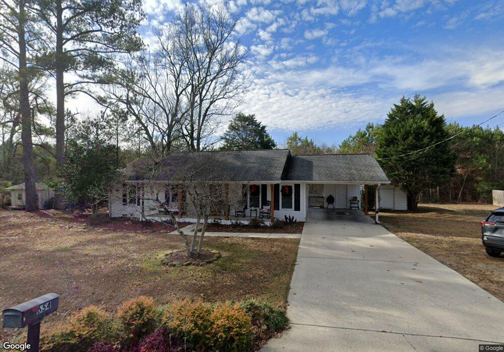
654 Hancock Dr E Scottsboro, AL 35769
Estimated Value: $193,000 - $264,000
3
Beds
1
Bath
1,248
Sq Ft
$174/Sq Ft
Est. Value
About This Home
This home is located at 654 Hancock Dr E, Scottsboro, AL 35769 and is currently estimated at $216,962, approximately $173 per square foot. 654 Hancock Dr E is a home located in Jackson County with nearby schools including Scottsboro High School and Scottsboro Christian Academy.
Ownership History
Date
Name
Owned For
Owner Type
Purchase Details
Closed on
Nov 5, 2013
Sold by
Gantt Meagan D
Bought by
Johnson Tyler
Current Estimated Value
Home Financials for this Owner
Home Financials are based on the most recent Mortgage that was taken out on this home.
Original Mortgage
$93,180
Outstanding Balance
$69,808
Interest Rate
4.5%
Mortgage Type
FHA
Estimated Equity
$147,154
Purchase Details
Closed on
Apr 23, 2013
Sold by
Butler James Rhett and Butler Erica
Bought by
Gantt Meagan D
Create a Home Valuation Report for This Property
The Home Valuation Report is an in-depth analysis detailing your home's value as well as a comparison with similar homes in the area
Purchase History
| Date | Buyer | Sale Price | Title Company |
|---|---|---|---|
| Johnson Tyler | $94,900 | -- | |
| Gantt Meagan D | $89,900 | -- |
Source: Public Records
Mortgage History
| Date | Status | Borrower | Loan Amount |
|---|---|---|---|
| Open | Johnson Tyler | $93,180 | |
| Closed | Gantt Meagan D | $0 |
Source: Public Records
Tax History
| Year | Tax Paid | Tax Assessment Tax Assessment Total Assessment is a certain percentage of the fair market value that is determined by local assessors to be the total taxable value of land and additions on the property. | Land | Improvement |
|---|---|---|---|---|
| 2025 | $476 | $10,820 | $0 | $0 |
| 2024 | $476 | $10,120 | $0 | $0 |
| 2023 | $442 | $10,600 | $0 | $0 |
| 2022 | $406 | $9,380 | $0 | $0 |
| 2021 | $406 | $9,380 | $0 | $0 |
| 2020 | $330 | $7,820 | $0 | $0 |
| 2019 | $345 | $8,120 | $0 | $0 |
| 2018 | $345 | $8,120 | $0 | $0 |
| 2017 | $345 | $81,200 | $0 | $0 |
| 2016 | $322 | $76,300 | $0 | $0 |
| 2015 | $322 | $76,300 | $0 | $0 |
| 2014 | -- | $76,300 | $0 | $0 |
| 2013 | -- | $76,300 | $0 | $0 |
Source: Public Records
Map
Nearby Homes
- #80 Snow Dr
- 273 Goosepond Dr
- 118 Canadian Dr
- 222 Lakewood Dr
- 22 Press Rd
- 20 Press Rd
- 14 Ski Cove Dr
- 131 Anderson St E
- 17 Goose Pond Island Dr
- 50 Pruett Cir
- 655 Goose Pond Island Dr
- 1.12 acres Savory Dr
- 2310 Bob Jones Rd
- 160 Santa Maria Dr
- 3 Acres S Broad St
- 208 Wimberly Dr
- 1.0 Acre Lake Pointe Cir
- 104 Wimberly Dr
- 4324 S Broad St
- 108 Willow Cove Dr
- 654 Hancock Dr E
- 586 Hancock Dr E
- 656 Hancock Dr E
- 627 Hancock Dr E
- 12 Mallard Dr
- 568 Hancock Dr E
- 587 Hancock Dr E
- 681 Hancock Dr E
- 49 Mallard Dr
- 554 Hancock Dr E
- 569 Hancock Dr E
- 569 Hancock Rd
- 158 Mallard Dr
- 704 Hancock Dr E
- 375 Chesapeake Dr
- 65 Mallard Dr
- 705 Hancock Dr E
- 3409 Bob Jones Rd
- 357 Chesapeake Dr
- 531 Hancock Dr E
Your Personal Tour Guide
Ask me questions while you tour the home.