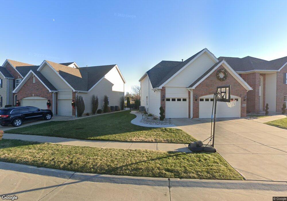
6551 Devon Hurst Dr Saint Louis, MO 63129
Estimated Value: $670,000 - $821,000
4
Beds
4
Baths
4,096
Sq Ft
$182/Sq Ft
Est. Value
About This Home
This home is located at 6551 Devon Hurst Dr, Saint Louis, MO 63129 and is currently estimated at $747,514, approximately $182 per square foot. 6551 Devon Hurst Dr is a home located in St. Louis County with nearby schools including Point Elementary School, Oakville Middle School, and Oakville Senior High School.
Ownership History
Date
Name
Owned For
Owner Type
Purchase Details
Closed on
Jan 31, 2013
Sold by
Mcbride & Son Homes Inc
Bought by
Florek John M and Florek Danielle A
Current Estimated Value
Home Financials for this Owner
Home Financials are based on the most recent Mortgage that was taken out on this home.
Original Mortgage
$415,467
Outstanding Balance
$290,569
Interest Rate
3.42%
Mortgage Type
New Conventional
Estimated Equity
$456,945
Create a Home Valuation Report for This Property
The Home Valuation Report is an in-depth analysis detailing your home's value as well as a comparison with similar homes in the area
Home Values in the Area
Average Home Value in this Area
Purchase History
| Date | Buyer | Sale Price | Title Company |
|---|---|---|---|
| Florek John M | $469,900 | Multiple |
Source: Public Records
Mortgage History
| Date | Status | Borrower | Loan Amount |
|---|---|---|---|
| Open | Florek John M | $415,467 |
Source: Public Records
Tax History
| Year | Tax Paid | Tax Assessment Tax Assessment Total Assessment is a certain percentage of the fair market value that is determined by local assessors to be the total taxable value of land and additions on the property. | Land | Improvement |
|---|---|---|---|---|
| 2025 | $8,507 | $131,630 | $19,530 | $112,100 |
| 2024 | $8,507 | $127,170 | $19,530 | $107,640 |
| 2023 | $8,398 | $127,170 | $19,530 | $107,640 |
| 2022 | $6,653 | $101,210 | $11,780 | $89,430 |
| 2021 | $6,438 | $101,210 | $11,780 | $89,430 |
| 2020 | $6,402 | $95,720 | $14,650 | $81,070 |
| 2019 | $6,382 | $95,720 | $14,650 | $81,070 |
| 2018 | $6,202 | $83,980 | $9,750 | $74,230 |
| 2016 | $5,943 | $77,310 | $9,750 | $67,560 |
Source: Public Records
Map
Nearby Homes
- 6434 Christopher Dr
- 6324 Telegraph Rd
- 6301 Highland Estates Dr
- 6520 Galewood Ct
- 2772 Cliffwood Trail
- 6116 Arbor Green Dr
- 6809 China Lake Dr
- 6533 Heintz Rd
- 6686 Clifton Bluffs Ct
- 6056 Oakville Terrace
- 169 Tori Pines Dr Unit 35
- 173 Tori Pines Dr Unit 37
- 3027 Windsor Point Dr
- 2626 Brantley Ct
- 7008 Holly View Ct
- 7009 Orchard Meadows Ct
- 6937 Singingwood Ln
- 6808 Cottage Grove Ln Unit I
- 5810 Flaming Leaf Ct
- 5853 Hunter Brook Ct
- 2511 Devonhurst Cir
- 2511 Devonhurst Cir Unit 46
- 6527 Devonhurst Dr
- 6524 Devonhurst Dr
- 6520 Devonhurst Dr
- 6528 Devonhurst Dr
- 6531 Devonhurst Dr
- 2507 Devonhurst Cir
- 6532 Devon Hurst Dr
- 6516 Devonhurst Dr
- 6535 Devonhurst Dr
- 2502 Devon Hurst Cir
- 2506 Devonhurst Cir
- 6536 Devonhurst Dr
- 6515 Devonhurst Dr
- 6527 Christopher Dr
- 6539 Devon Hurst Dr
- 6540 Devon Hurst Dr
- 6540 Devonhurst Dr
- 6511 Devonhurst Dr
Your Personal Tour Guide
Ask me questions while you tour the home.