6557 Maxwell Ln Show Low, AZ 85901
Estimated Value: $748,000 - $814,063
Studio
--
Bath
3,932
Sq Ft
$197/Sq Ft
Est. Value
About This Home
This home is located at 6557 Maxwell Ln, Show Low, AZ 85901 and is currently estimated at $773,021, approximately $196 per square foot. 6557 Maxwell Ln is a home located in Navajo County with nearby schools including Linden Elementary School, Show Low High School, and Show Low Junior High School.
Ownership History
Date
Name
Owned For
Owner Type
Purchase Details
Closed on
Jun 17, 2020
Sold by
Buckallew Donald Roy and Buckallew Sharon Dee
Bought by
Ohden Harry Richard
Current Estimated Value
Purchase Details
Closed on
Jun 13, 2013
Sold by
Buckallew Donald Roy and Buckallew Sharon Dee
Bought by
Buckallew Donald Roy and Buckallew Sharon Dee
Purchase Details
Closed on
Jan 20, 2009
Sold by
Buckallew Donald R and Buckallew Sharon
Bought by
Buckallew Donald Roy and Buckallew Sharon Dee
Create a Home Valuation Report for This Property
The Home Valuation Report is an in-depth analysis detailing your home's value as well as a comparison with similar homes in the area
Home Values in the Area
Average Home Value in this Area
Purchase History
| Date | Buyer | Sale Price | Title Company |
|---|---|---|---|
| Ohden Harry Richard | $481,000 | Lawyers Title Of Arizona Inc | |
| Buckallew Donald Roy | -- | Title Source | |
| Buckallew Donald Roy | -- | Title Source | |
| Buckallew Donald Roy | -- | Landamerica Title Agency |
Source: Public Records
Tax History
| Year | Tax Paid | Tax Assessment Tax Assessment Total Assessment is a certain percentage of the fair market value that is determined by local assessors to be the total taxable value of land and additions on the property. | Land | Improvement |
|---|---|---|---|---|
| 2026 | $3,190 | -- | -- | -- |
| 2025 | $3,140 | $69,197 | $12,118 | $57,079 |
| 2024 | $2,949 | $69,179 | $11,544 | $57,635 |
| 2023 | $3,140 | $48,679 | $7,426 | $41,253 |
| 2022 | $2,949 | $0 | $0 | $0 |
| 2021 | $2,994 | $0 | $0 | $0 |
| 2020 | $2,787 | $0 | $0 | $0 |
| 2019 | $2,789 | $0 | $0 | $0 |
| 2018 | $2,643 | $0 | $0 | $0 |
| 2017 | $2,458 | $0 | $0 | $0 |
| 2016 | $2,426 | $0 | $0 | $0 |
| 2015 | $2,289 | $22,985 | $9,419 | $13,566 |
Source: Public Records
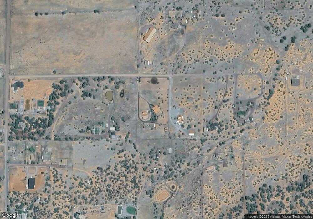
Map
Nearby Homes
- 6527 Maxwell Ln Unit B
- 1011 Dusty Ln
- 1015 Meadow Ln
- 6662 State Route 260 --
- 6611 Blakes Way
- 1022 School House Ln
- 947 Oak Grove Rd Unit 951
- 1028 School House Ln
- 6333 Gardenia Ln
- 6325 Gardenia Ln
- 1023 Casper Ln
- 951 Dreamy Draw Cir
- 6711 Bandido Way
- 957 Cheney Ranch Loop
- 936 Rim Rock Cir
- 956 Wild Horse Rd
- 1139 Sapphire
- 6853 Rim Rock Rd
- 6846 Lucky Ln
- 925 Wild Horse Rd
- 6557 Maxwell Ln
- 6569 Maxwell Ln
- 6581 Maxwell Ln
- 1081 Dusty Ln
- 6527 Maxwell Ln
- 6527 Maxwell Ln
- 6527 Maxwell Ln
- 6527 Maxwell Ln
- 6556 Maxwell Ln
- 6570 Maxwell Ln
- 6593 Maxwell Ln
- 6580 Maxwell Ln Unit 31H&K
- 6580 Maxwell Ln
- 1097 Burton Rd
- TBD Dusty Ln
- 1095 Burton Rd
- 6584 Dusty Ln
- 1093 Burton Rd
- 1051 Dusty Ln
- 1048 Dusty Ln
Your Personal Tour Guide
Ask me questions while you tour the home.