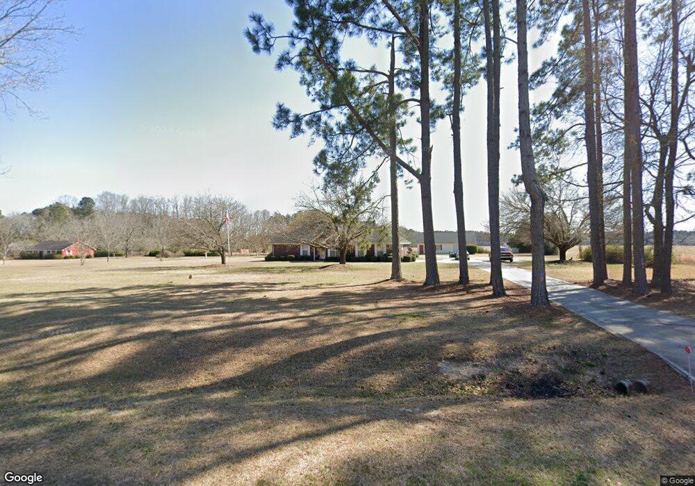
656 Benjamin Rd Claxton, GA 30417
Estimated Value: $260,000 - $317,000
3
Beds
2
Baths
2,058
Sq Ft
$139/Sq Ft
Est. Value
About This Home
This home is located at 656 Benjamin Rd, Claxton, GA 30417 and is currently estimated at $287,021, approximately $139 per square foot. 656 Benjamin Rd is a home located in Evans County with nearby schools including Claxton Elementary School, Claxton Middle School, and Claxton High School.
Ownership History
Date
Name
Owned For
Owner Type
Purchase Details
Closed on
Jun 21, 2019
Sold by
Sapp Rabon
Bought by
Dunston Richard L
Current Estimated Value
Home Financials for this Owner
Home Financials are based on the most recent Mortgage that was taken out on this home.
Original Mortgage
$182,000
Outstanding Balance
$158,685
Interest Rate
4%
Estimated Equity
$128,336
Purchase Details
Closed on
Nov 9, 1995
Sold by
Strickland George W
Bought by
Sapp Rabon and Sapp Patsy K
Create a Home Valuation Report for This Property
The Home Valuation Report is an in-depth analysis detailing your home's value as well as a comparison with similar homes in the area
Purchase History
| Date | Buyer | Sale Price | Title Company |
|---|---|---|---|
| Dunston Richard L | $182,000 | -- | |
| Sapp Rabon | $10,000 | -- |
Source: Public Records
Mortgage History
| Date | Status | Borrower | Loan Amount |
|---|---|---|---|
| Open | Dunston Richard L | $182,000 |
Source: Public Records
Tax History
| Year | Tax Paid | Tax Assessment Tax Assessment Total Assessment is a certain percentage of the fair market value that is determined by local assessors to be the total taxable value of land and additions on the property. | Land | Improvement |
|---|---|---|---|---|
| 2025 | $2,143 | $86,024 | $5,440 | $80,584 |
| 2024 | $1,691 | $79,224 | $5,440 | $73,784 |
| 2023 | $1,691 | $52,200 | $5,440 | $46,760 |
| 2022 | $1,596 | $52,200 | $5,440 | $46,760 |
| 2021 | $1,719 | $52,200 | $5,440 | $46,760 |
| 2020 | $1,725 | $52,200 | $5,440 | $46,760 |
| 2019 | $1,680 | $52,200 | $5,440 | $46,760 |
| 2018 | $1,663 | $51,520 | $5,440 | $46,080 |
| 2017 | $1,468 | $52,200 | $5,440 | $46,760 |
| 2016 | $1,441 | $51,000 | $5,360 | $45,640 |
| 2015 | -- | $52,440 | $4,280 | $48,160 |
| 2014 | -- | $52,440 | $4,280 | $48,160 |
| 2013 | -- | $55,000 | $4,280 | $50,720 |
Source: Public Records
Map
Nearby Homes
- 437 Burkhalter Cir
- 29 Grove Ln
- 12 Wisteria Ln
- 12 Wysteria Ln
- 10 Honeysuckle Dr
- 3 Wysteria Ln
- 7 Honeysuckle Way
- 9 Honeysuckle Dr
- 3 Honeysuckle Dr
- 4909 Perry Rd
- 19 Collins St
- 606 Park Ave
- 0 Turnpike Rd Unit SA339603
- 610 W Liberty St
- 606 W Liberty St
- 307 Mclean St
- 0 Dublin Rd
- 6 N Spring St
- 60 Tucker Rd
- 12 S Duval St
- 706 Benjamin Rd
- 647 Benjamin Rd
- 615 Benjamin Rd
- 585 Benjamin Rd
- 717 Benjamin Rd
- 531 Benjamin Rd
- 997 Issac Rd
- 836 Benjamin Rd
- 458 Benjamin Rd
- 998 Issac Rd
- 851 Benjamin Rd
- 888 Benjamin Rd
- 655 Issac Rd
- 388 Jack Strickland Dr
- 651 Issac Rd
- 311 Benjamin Rd Unit 339
- 1302 Perkins Mill Rd
- 1006 Benjamin Rd
- 649 Issac Rd
- 1440 Perkins Mill Rd
Your Personal Tour Guide
Ask me questions while you tour the home.