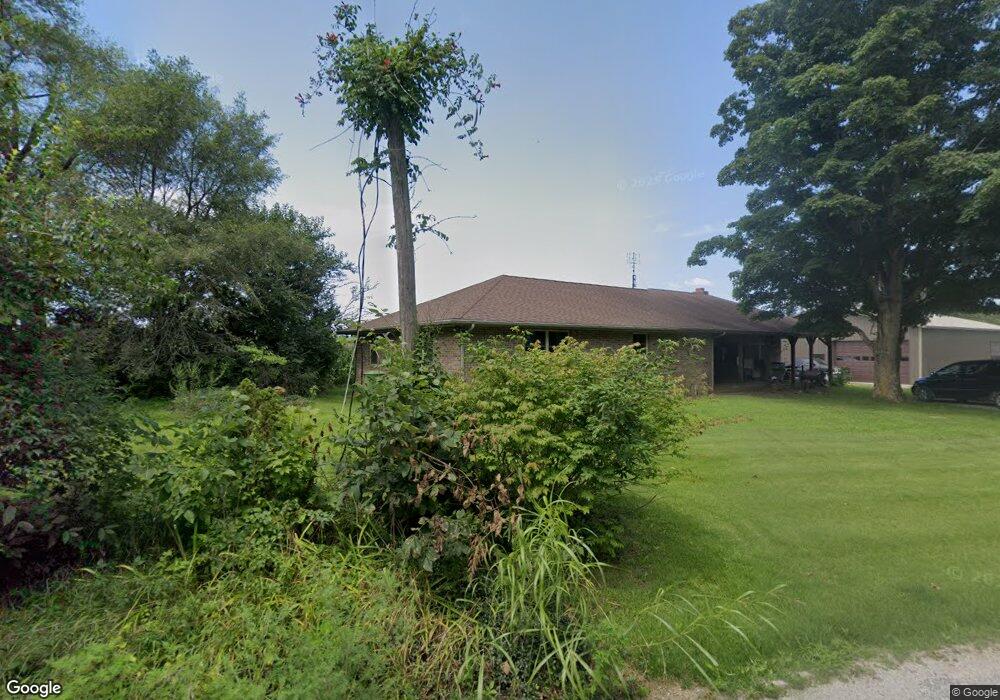
6561 W 550 S Delphi, IN 46923
Estimated Value: $326,000 - $484,012
1
Bed
2
Baths
2,144
Sq Ft
$190/Sq Ft
Est. Value
About This Home
This home is located at 6561 W 550 S, Delphi, IN 46923 and is currently estimated at $407,004, approximately $189 per square foot. 6561 W 550 S is a home located in Carroll County with nearby schools including Rossville Elementary School, Rossville Middle/High School, and New Hope School.
Ownership History
Date
Name
Owned For
Owner Type
Purchase Details
Closed on
Apr 3, 2006
Sold by
Rodgers Diannah D
Bought by
Lowery Kevin L and Lowery Jeanie M
Current Estimated Value
Home Financials for this Owner
Home Financials are based on the most recent Mortgage that was taken out on this home.
Original Mortgage
$84,000
Outstanding Balance
$47,138
Interest Rate
6.34%
Mortgage Type
New Conventional
Estimated Equity
$359,866
Create a Home Valuation Report for This Property
The Home Valuation Report is an in-depth analysis detailing your home's value as well as a comparison with similar homes in the area
Purchase History
| Date | Buyer | Sale Price | Title Company |
|---|---|---|---|
| Lowery Kevin L | -- | None Available |
Source: Public Records
Mortgage History
| Date | Status | Borrower | Loan Amount |
|---|---|---|---|
| Open | Lowery Kevin L | $84,000 |
Source: Public Records
Tax History
| Year | Tax Paid | Tax Assessment Tax Assessment Total Assessment is a certain percentage of the fair market value that is determined by local assessors to be the total taxable value of land and additions on the property. | Land | Improvement |
|---|---|---|---|---|
| 2025 | $1,883 | $410,600 | $56,000 | $354,600 |
| 2024 | $1,883 | $325,000 | $53,700 | $271,300 |
| 2023 | $1,700 | $259,000 | $47,500 | $211,500 |
| 2022 | $1,700 | $247,200 | $44,300 | $202,900 |
| 2021 | $1,754 | $234,400 | $40,700 | $193,700 |
| 2020 | $1,381 | $217,800 | $40,600 | $177,200 |
| 2019 | $1,547 | $221,000 | $42,800 | $178,200 |
| 2018 | $1,509 | $225,700 | $43,200 | $182,500 |
| 2017 | $1,314 | $221,200 | $41,100 | $180,100 |
| 2016 | $1,379 | $209,100 | $42,000 | $167,100 |
| 2014 | $1,229 | $196,500 | $44,800 | $151,700 |
Source: Public Records
Map
Nearby Homes
- 7440 Preflight Path
- 8605 Indiana 26
- 2030 Oak Ridge Estates
- 319 N 1st St
- 9924 W State Road 26
- 17 E Ramey St
- 111 W South St
- 0 W 700 Rd S Unit 202531697
- 10012 Indiana 26
- 10036 Carney St
- 7020 Virginia St
- 7348 W Division Line Rd
- 3404 N 750 E
- 382 U S 421
- 35 Pond View Dr
- E 200 S
- 45 Samuel Ct
- 4270 W Co Road 650 N
- 480 S 10 E
- 8277 Timber Ln
Your Personal Tour Guide
Ask me questions while you tour the home.