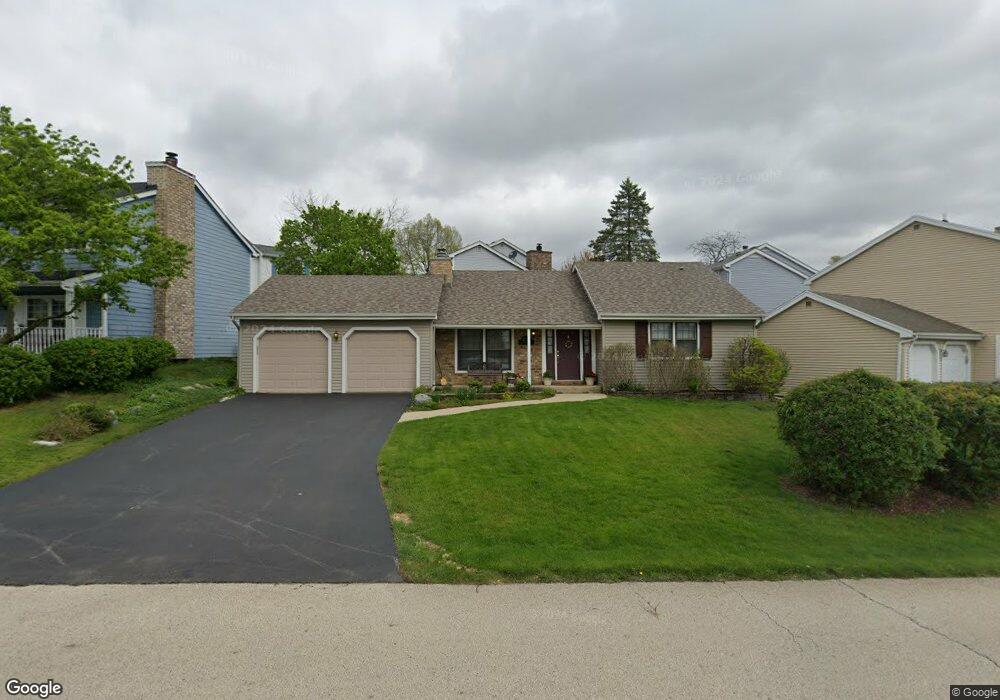
657 Dunham Rd Gurnee, IL 60031
Gurnee AreaEstimated Value: $303,000 - $369,000
About This Home
This home is located at 657 Dunham Rd, Gurnee, IL 60031 and is currently estimated at $329,729, approximately $297 per square foot. 657 Dunham Rd is a home located in Lake County with nearby schools including Woodland Primary School, Woodland Elementary School, and Woodland Intermediate School.
Ownership History
We collect this data history from publicly available records. To have your information removed, we recommend requesting removal directly through your county’s website.
Purchase Details
Home Financials for this Owner
Home Financials are based on the most recent Mortgage that was taken out on this home.Purchase Details
Home Financials for this Owner
Home Financials are based on the most recent Mortgage that was taken out on this home.Purchase Details
Home Values in the Area
Average Home Value in this Area
Purchase History
We collect this data history from publicly available records. To have your information removed, we recommend requesting removal directly through your county’s website.
| Date | Buyer | Sale Price | Title Company |
|---|---|---|---|
| $208,000 | St | ||
| $208,000 | Attorneys Title Guaranty Fun | ||
| $120,000 | Preferred Land Title |
Mortgage History
We collect this data history from publicly available records. To have your information removed, we recommend requesting removal directly through your county’s website.
| Date | Status | Borrower | Loan Amount |
|---|---|---|---|
| Open | $137,755 | ||
| Closed | $142,450 | ||
| Previous Owner | $166,400 | ||
| Previous Owner | $211,120 | ||
| Previous Owner | $129,000 | ||
| Previous Owner | $141,800 |
Tax History
We collect this data history from publicly available records. To have your information removed, we recommend requesting removal directly through your county’s website.
| Year | Tax Paid | Tax Assessment Tax Assessment Total Assessment is a certain percentage of the fair market value that is determined by local assessors to be the total taxable value of land and additions on the property. | Land | Improvement |
|---|---|---|---|---|
| 2025 | $6,645 | $88,091 | $10,118 | $77,973 |
| 2024 | $6,645 | $87,400 | $10,039 | $77,361 |
| 2023 | $5,821 | $81,143 | $9,320 | $71,823 |
| 2022 | $5,821 | $65,715 | $10,449 | $55,266 |
| 2021 | $4,538 | $55,332 | $8,798 | $46,534 |
| 2020 | $4,385 | $53,972 | $8,582 | $45,390 |
| 2019 | $4,255 | $52,405 | $8,333 | $44,072 |
| 2018 | $3,697 | $46,915 | $3,652 | $43,263 |
| 2017 | $3,653 | $45,570 | $3,547 | $42,023 |
| 2016 | $3,608 | $43,541 | $3,389 | $40,152 |
| 2015 | $3,496 | $41,294 | $3,214 | $38,080 |
| 2014 | $4,560 | $48,065 | $3,171 | $44,894 |
| 2012 | $4,330 | $52,737 | $3,195 | $49,542 |
Map
- 636 Sanders Ct
- 645 Stout Ct
- 661 Mitchell Ct Unit U235
- 650 Whitney Ct Unit 105
- 6061 Golfview Dr
- 930 Taylor Dr Unit 104
- 917 Vose Dr Unit 411
- 6285 Murifield Dr
- 913 Campbell Dr Unit U486
- 129 Knobb Hill Ln
- 6395 Cunningham Ct Unit A
- 17150 W Washington St
- 76 Foxboro Ln
- 364 Churchill Ln
- 269 Concord Square
- 4669 Kings Way N
- 17452 W Meadowbrook Dr
- 17335 W Maple Ln Unit 17335
- 17379 W Hickory Ln
- 5580 Hilltop Ln
- 635 Williams Ct
- 636 Williams Ct
- 637 Williams Ct
- 639 Williams Ct
- 638 Williams Ct
- 641 Williams Ct
- 640 Williams Ct
- 638 Sanders Ct
- 645 Williams Ct
- 643 Williams Ct
- 639 Dordan Ct
- 634 Sanders Ct
- 644 Williams Ct
- 642 Sanders Ct
- 643 Dordan Ct
- 647 Williams Ct
- 644 Sanders Ct
- 655 Dunham Rd
- 637 Dordan Ct
- 645 Dordan Ct
Ask me questions while you tour the home.