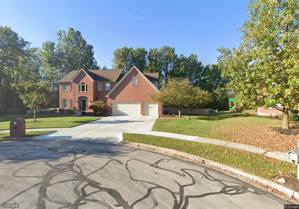
657 Sandpiper Ct Westerville, OH 43082
Estimated Value: $613,000 - $681,000
About This Home
This home is located at 657 Sandpiper Ct, Westerville, OH 43082 and is currently estimated at $633,285, approximately $211 per square foot. 657 Sandpiper Ct is a home located in Delaware County with nearby schools including Robert Frost Elementary School, Heritage Middle School, and Westerville-North High School.
Ownership History
We collect this data history from publicly available records. To have your information removed, we recommend requesting removal directly through your county’s website.
Purchase Details
Purchase Details
Home Financials for this Owner
Home Financials are based on the most recent Mortgage that was taken out on this home.Home Values in the Area
Average Home Value in this Area
Purchase History
We collect this data history from publicly available records. To have your information removed, we recommend requesting removal directly through your county’s website.
| Date | Buyer | Sale Price | Title Company |
|---|---|---|---|
| -- | None Available | ||
| $344,240 | -- |
Mortgage History
We collect this data history from publicly available records. To have your information removed, we recommend requesting removal directly through your county’s website.
| Date | Status | Borrower | Loan Amount |
|---|---|---|---|
| Open | $150,000 |
Tax History
We collect this data history from publicly available records. To have your information removed, we recommend requesting removal directly through your county’s website.
| Year | Tax Paid | Tax Assessment Tax Assessment Total Assessment is a certain percentage of the fair market value that is determined by local assessors to be the total taxable value of land and additions on the property. | Land | Improvement |
|---|---|---|---|---|
| 2025 | $8,582 | $168,770 | $39,550 | $129,220 |
| 2024 | $8,598 | $168,770 | $39,550 | $129,220 |
| 2023 | $8,500 | $168,770 | $39,550 | $129,220 |
| 2022 | $8,918 | $137,000 | $33,290 | $103,710 |
| 2021 | $8,995 | $137,000 | $33,290 | $103,710 |
| 2020 | $9,055 | $137,000 | $33,290 | $103,710 |
| 2019 | $7,921 | $123,240 | $28,950 | $94,290 |
| 2018 | $7,788 | $123,240 | $28,950 | $94,290 |
| 2017 | $7,825 | $120,370 | $27,020 | $93,350 |
| 2016 | $8,283 | $120,370 | $27,020 | $93,350 |
| 2015 | $7,924 | $120,370 | $27,020 | $93,350 |
| 2014 | $8,003 | $120,370 | $27,020 | $93,350 |
| 2013 | $8,006 | $120,370 | $27,020 | $93,350 |
Map
- 6961 Whitetail Ln
- 6892 Whitetail Ln
- 7568 Park Bend Ct
- 8002 Maxtown Rd
- 6657 Springview Dr
- 1067 Weatherwood Ct
- 758 Olde Mill Dr
- 7596 Park Bend Dr
- 6685 Tussic Street Rd
- 8133 Dunaway Ln
- 7026 Sunbury Rd
- 579 Olde Mill Dr
- 605 Kingfisher Dr
- 7045 Sherbrook Dr
- 7622 Milford Ave
- 6372 Grassmere Dr Unit 6372
- 715 Sugar Ct
- 530 Radcliff Dr
- 6218 Falcon Chase Dr
- 6668 Hilmar Dr
Ask me questions while you tour the home.