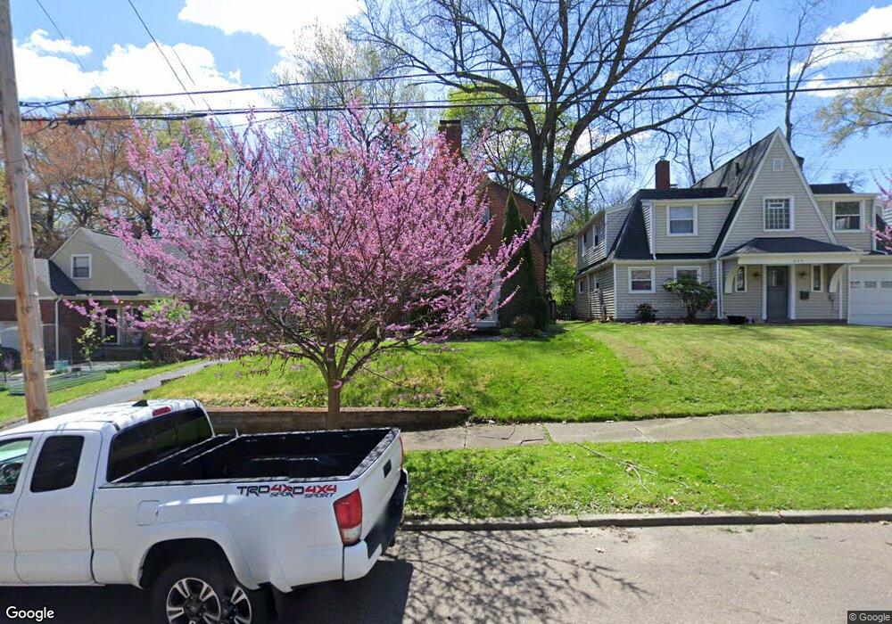
658 Ecton Rd Akron, OH 44303
Merriman Hills NeighborhoodEstimated Value: $236,000 - $267,000
About This Home
This home is located at 658 Ecton Rd, Akron, OH 44303 and is currently estimated at $253,807, approximately $160 per square foot. 658 Ecton Rd is a home located in Summit County with nearby schools including King Community Learning Center, Towpath Trail High School, and Our Lady Of The Elms Elementary School.
Ownership History
We collect this data history from publicly available records. To have your information removed, we recommend requesting removal directly through your county’s website.
Purchase Details
Home Financials for this Owner
Home Financials are based on the most recent Mortgage that was taken out on this home.Purchase Details
Home Values in the Area
Average Home Value in this Area
Purchase History
We collect this data history from publicly available records. To have your information removed, we recommend requesting removal directly through your county’s website.
| Date | Buyer | Sale Price | Title Company |
|---|---|---|---|
| -- | Title Only | ||
| -- | -- |
Mortgage History
We collect this data history from publicly available records. To have your information removed, we recommend requesting removal directly through your county’s website.
| Date | Status | Borrower | Loan Amount |
|---|---|---|---|
| Open | $66,137 |
Tax History
We collect this data history from publicly available records. To have your information removed, we recommend requesting removal directly through your county’s website.
| Year | Tax Paid | Tax Assessment Tax Assessment Total Assessment is a certain percentage of the fair market value that is determined by local assessors to be the total taxable value of land and additions on the property. | Land | Improvement |
|---|---|---|---|---|
| 2026 | $8,553 | $73,084 | $13,871 | $59,213 |
| 2025 | $3,904 | $73,084 | $13,871 | $59,213 |
| 2024 | $3,904 | $73,084 | $13,871 | $59,213 |
| 2023 | $3,904 | $73,084 | $13,871 | $59,213 |
| 2022 | $3,769 | $55,367 | $10,507 | $44,860 |
| 2021 | $3,773 | $55,367 | $10,507 | $44,860 |
| 2020 | $3,716 | $55,370 | $10,510 | $44,860 |
| 2019 | $3,332 | $44,860 | $9,980 | $34,880 |
| 2018 | $3,216 | $44,860 | $9,980 | $34,880 |
| 2017 | $3,268 | $44,860 | $9,980 | $34,880 |
| 2016 | $3,270 | $44,860 | $9,980 | $34,880 |
| 2015 | $3,268 | $44,860 | $9,980 | $34,880 |
| 2014 | $3,241 | $44,860 | $9,980 | $34,880 |
| 2013 | $3,174 | $44,860 | $9,980 | $34,880 |
Map
- 674 Upper Merriman Dr
- 540 Ravine View Dr
- 710 Mentor Rd
- 569 Barwell St
- 505 Ridgecrest Rd
- 456 Merriman Rd
- 430 Delaware Ave
- 546 Letchworth Dr
- 469 Kathleen St
- 924 Memorial Pkwy Unit 207
- 371 Merriman Rd
- 245 N Highland Ave
- 275 N Portage Path Unit 8A
- 275 N Portage Path Unit 3B
- 275 N Portage Path Unit 6C
- 644 Ridgecrest Rd
- 333 N Portage Path Unit 6
- 333 N Portage Path Unit 25
- 894 Westgrove Rd
- 207 Casterton Ave
Ask me questions while you tour the home.