658 Sims Way Rabun Gap, GA 30568
Estimated Value: $398,000 - $401,889
3
Beds
3
Baths
2,424
Sq Ft
$165/Sq Ft
Est. Value
About This Home
This home is located at 658 Sims Way, Rabun Gap, GA 30568 and is currently estimated at $399,945, approximately $164 per square foot. 658 Sims Way is a home located in Rabun County with nearby schools including Rabun County Primary School and Rabun County High School.
Ownership History
Date
Name
Owned For
Owner Type
Purchase Details
Closed on
Sep 15, 2016
Sold by
Grathwol Ronald F
Bought by
Artman Stuart and Artman Elizabeth
Current Estimated Value
Home Financials for this Owner
Home Financials are based on the most recent Mortgage that was taken out on this home.
Original Mortgage
$195,000
Outstanding Balance
$154,912
Interest Rate
3.43%
Mortgage Type
New Conventional
Estimated Equity
$245,033
Purchase Details
Closed on
Feb 1, 1994
Bought by
Grathwol Ronald F and Grathwol Mary Ann
Purchase Details
Closed on
Sep 1, 1967
Create a Home Valuation Report for This Property
The Home Valuation Report is an in-depth analysis detailing your home's value as well as a comparison with similar homes in the area
Home Values in the Area
Average Home Value in this Area
Purchase History
We collect this data history from publicly available records. To have your information removed, we recommend requesting removal directly through your county’s website.
| Date | Buyer | Sale Price | Title Company |
|---|---|---|---|
| Artman Stuart | $245,000 | -- | |
| Artman Stuart | $245,000 | -- | |
| Grathwol Ronald F | -- | -- | |
| Grathwol Ronald F | -- | -- | |
| -- | -- | -- | |
| -- | -- | -- |
Source: Public Records
Mortgage History
We collect this data history from publicly available records. To have your information removed, we recommend requesting removal directly through your county’s website.
| Date | Status | Borrower | Loan Amount |
|---|---|---|---|
| Open | Artman Stuart | $195,000 | |
| Closed | Artman Stuart | $195,000 |
Source: Public Records
Tax History
| Year | Tax Paid | Tax Assessment Tax Assessment Total Assessment is a certain percentage of the fair market value that is determined by local assessors to be the total taxable value of land and additions on the property. | Land | Improvement |
|---|---|---|---|---|
| 2025 | $1,855 | $115,549 | $19,200 | $96,349 |
| 2024 | $1,760 | $109,674 | $19,200 | $90,474 |
| 2023 | $1,843 | $100,671 | $19,200 | $81,471 |
| 2022 | $1,733 | $94,662 | $16,000 | $78,662 |
| 2021 | $1,605 | $85,592 | $16,000 | $69,592 |
| 2020 | $1,510 | $77,834 | $16,000 | $61,834 |
| 2019 | $1,520 | $77,834 | $16,000 | $61,834 |
| 2018 | $1,526 | $77,834 | $16,000 | $61,834 |
| 2017 | $1,463 | $77,834 | $16,000 | $61,834 |
| 2016 | $1,448 | $76,834 | $15,000 | $61,834 |
| 2015 | $1,557 | $80,853 | $15,000 | $65,853 |
| 2014 | $1,551 | $80,096 | $15,000 | $65,096 |
Source: Public Records
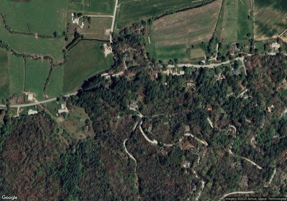
Map
Nearby Homes
- 102 Moses Rd
- 31 Simms Way
- 23 Simms Way
- 133 Simms Way
- 21 Simms Way
- 27 Simms Way
- 138 Taylors Chapel Rd
- 0 Sylvan Lake Dr Unit 47,48 10485897
- 373 Western Way
- 0 Pitts Way Unit 10735549
- 375 Western Way
- 0 Crest Ln Unit LOT 5
- 520 Chickasaw Ln
- 784 Wolffork Church Rd
- 0 Western Way Unit 10737824
- 230 Majors Ln
- 46 Spartan Ln
- 0 Alto Ln Unit 10669756
- 5019 Wolffork Rd
- 5192 Wolffork Rd
- 664 Sims Way
- 2521 Wolffork Rd
- 486 Dailey Ridge Ln
- 2544 Wolffork Rd
- 2469 Wolffork Rd
- 124 Ocmulgee Way
- 400 Dailey Ridge Ln
- 2431 Wolffork Rd
- 487 Dailey Ridge Ln
- 657 Sims Way
- 65 Ocmulgee Way
- 319 Dailey Ridge Ln
- 66 Wolffork Church Rd
- 9 Plantation Ln
- 364 Dailey Ridge Ln
- 293 Dailey Ridge Ln
- 37 Tree Top Cir
- 289 Dailey Ridge Ln
- 492 Sims Way
- 28 Ocmulgee Way
Your Personal Tour Guide
Ask me questions while you tour the home.