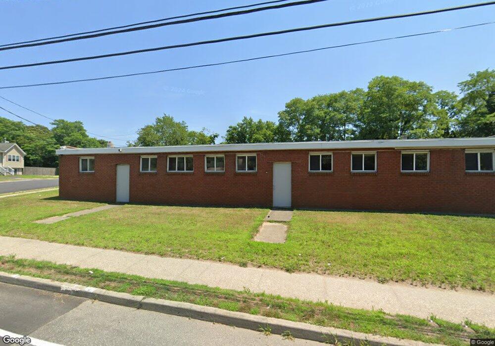
659 Mastic Rd Mastic, NY 11950
About This Home
This home is located at 659 Mastic Rd, Mastic, NY 11950. 659 Mastic Rd is a home located in Suffolk County with nearby schools including Nathaniel Woodhull Elementary School, William Floyd Middle School, and William Floyd High School.
Ownership History
We collect this data history from publicly available records. To have your information removed, we recommend requesting removal directly through your county’s website.
Purchase Details
Purchase Details
Purchase Details
Home Values in the Area
Average Home Value in this Area
Purchase History
We collect this data history from publicly available records. To have your information removed, we recommend requesting removal directly through your county’s website.
| Date | Buyer | Sale Price | Title Company |
|---|---|---|---|
| -- | -- | ||
| $75,000 | Chicago Title | ||
| $75,000 | Chicago Title | ||
| $45,500 | Fidelity National Title | ||
| $45,500 | Fidelity National Title |
Tax History
We collect this data history from publicly available records. To have your information removed, we recommend requesting removal directly through your county’s website.
| Year | Tax Paid | Tax Assessment Tax Assessment Total Assessment is a certain percentage of the fair market value that is determined by local assessors to be the total taxable value of land and additions on the property. | Land | Improvement |
|---|---|---|---|---|
| 2024 | $15,078 | $3,930 | $1,000 | $2,930 |
| 2023 | $15,078 | $3,930 | $1,000 | $2,930 |
| 2022 | $16,934 | $3,930 | $1,000 | $2,930 |
| 2021 | $16,934 | $3,930 | $1,000 | $2,930 |
| 2020 | $17,309 | $3,930 | $1,000 | $2,930 |
| 2019 | $17,309 | $0 | $0 | $0 |
| 2018 | $16,619 | $3,930 | $1,000 | $2,930 |
| 2017 | $16,619 | $3,930 | $1,000 | $2,930 |
| 2016 | $16,631 | $3,930 | $1,000 | $2,930 |
| 2015 | -- | $3,930 | $1,000 | $2,930 |
| 2014 | -- | $3,930 | $1,000 | $2,930 |
Map
- VL Meadowmere Ave
- 77 Bullard St
- 142 Riverside Ave
- 91 Market St
- 93 Market St
- 89 Market St
- 77 Market St
- 191 Hawthorne St
- 367 Whittier Dr
- 391 Orchid Dr
- 208 Church Dr
- 30 Robinwood St
- 0 Neptune Ave
- 26 Robinwood St
- 86 Eleanor Ave
- 88 Eleanor Ave
- VL Jeanatta Ave
- 120 Stackyard Dr
- 106 Eleanor Ave
- 122 Church Dr
- 124 Meadowmere Ave
- 128 Meadowmere Ave
- 130 Meadowmere Ave
- 115 Meadowmere Ave
- 117 Meadowmere Ave
- 121 Meadowmere Ave
- 136 Meadowmere Ave
- 664 Mastic Rd
- 125 Meadowmere Ave
- 138 Meadowmere Ave
- 99 Meadowmere Ave
- 666 Mastic Rd
- 127 Meadowmere Ave
- 140 Meadowmere Ave
- 142 Meadowmere Ave
- 675 Mastic Rd
- 218 Cumberland St
- 129 Meadowmere Ave
- 95 Meadowmere Ave
- 144 Meadowmere Ave
Ask me questions while you tour the home.