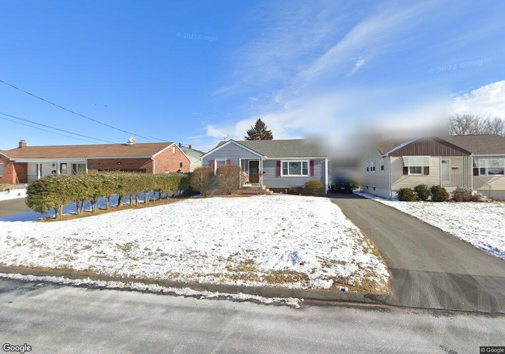
66 Albert Ave Wethersfield, CT 06109
Estimated Value: $303,131 - $310,000
3
Beds
1
Bath
1,012
Sq Ft
$304/Sq Ft
Est. Value
About This Home
This home is located at 66 Albert Ave, Wethersfield, CT 06109 and is currently estimated at $308,033, approximately $304 per square foot. 66 Albert Ave is a home located in Hartford County with nearby schools including Emerson-Williams School, Silas Deane Middle School, and Wethersfield High School.
Ownership History
Date
Name
Owned For
Owner Type
Purchase Details
Closed on
Apr 30, 1997
Sold by
Callegari Concettta
Bought by
Derocher Joseph R and Derocher Debra M
Current Estimated Value
Home Financials for this Owner
Home Financials are based on the most recent Mortgage that was taken out on this home.
Original Mortgage
$84,550
Interest Rate
7.5%
Mortgage Type
Unknown
Create a Home Valuation Report for This Property
The Home Valuation Report is an in-depth analysis detailing your home's value as well as a comparison with similar homes in the area
Home Values in the Area
Average Home Value in this Area
Purchase History
| Date | Buyer | Sale Price | Title Company |
|---|---|---|---|
| Derocher Joseph R | $96,000 | -- |
Source: Public Records
Mortgage History
| Date | Status | Borrower | Loan Amount |
|---|---|---|---|
| Closed | Derocher Joseph R | $30,000 | |
| Closed | Derocher Joseph R | $16,000 | |
| Closed | Derocher Joseph R | $83,000 | |
| Closed | Derocher Joseph R | $84,550 |
Source: Public Records
Tax History
| Year | Tax Paid | Tax Assessment Tax Assessment Total Assessment is a certain percentage of the fair market value that is determined by local assessors to be the total taxable value of land and additions on the property. | Land | Improvement |
|---|---|---|---|---|
| 2025 | $7,057 | $171,210 | $61,850 | $109,360 |
| 2024 | $4,446 | $102,880 | $43,230 | $59,650 |
| 2023 | $4,298 | $102,880 | $43,230 | $59,650 |
| 2022 | $4,226 | $102,880 | $43,230 | $59,650 |
| 2021 | $4,184 | $102,880 | $43,230 | $59,650 |
| 2020 | $4,186 | $102,880 | $43,230 | $59,650 |
| 2019 | $4,191 | $102,880 | $43,230 | $59,650 |
| 2018 | $4,151 | $101,800 | $39,400 | $62,400 |
| 2017 | $4,049 | $101,800 | $39,400 | $62,400 |
| 2016 | $3,923 | $101,800 | $39,400 | $62,400 |
| 2015 | $3,888 | $101,800 | $39,400 | $62,400 |
| 2014 | $3,740 | $101,800 | $39,400 | $62,400 |
Source: Public Records
Map
Nearby Homes
- 1 Bristol St
- 19 Albert Ave
- 1 Brussels Ave
- 295 Ridge Rd Unit 8
- 55 Rutledge Rd
- 219-221 Jordan Ln
- 144 Brown St
- 192 Wolcott Hill Rd
- 17 Salem St
- 64 Cromwell St
- 173 Timber Trail
- 208 Mountain St
- 23 Hillcrest Ave
- 63 Wells Farm Dr
- 166 George St
- 20 Forest Dr
- 107 Harmund Place
- 28 Bolton St
- 18 Avalon Place
- 183-185 Cheshire St
Your Personal Tour Guide
Ask me questions while you tour the home.