66 Brookside Rd Bourne, MA 02532
Monument Beach NeighborhoodEstimated Value: $650,000 - $670,000
2
Beds
2
Baths
1,790
Sq Ft
$369/Sq Ft
Est. Value
About This Home
This home is located at 66 Brookside Rd, Bourne, MA 02532 and is currently estimated at $660,095, approximately $368 per square foot. 66 Brookside Rd is a home located in Barnstable County with nearby schools including Bourne High School, St Margaret Regional School, and Cadence Academy Preschool - Bourne.
Ownership History
Date
Name
Owned For
Owner Type
Purchase Details
Closed on
Mar 3, 2010
Sold by
Brookside Res Llc
Bought by
Farmer Deborah Z
Current Estimated Value
Home Financials for this Owner
Home Financials are based on the most recent Mortgage that was taken out on this home.
Original Mortgage
$250,000
Outstanding Balance
$165,860
Interest Rate
5%
Mortgage Type
Purchase Money Mortgage
Estimated Equity
$494,235
Create a Home Valuation Report for This Property
The Home Valuation Report is an in-depth analysis detailing your home's value as well as a comparison with similar homes in the area
Home Values in the Area
Average Home Value in this Area
Purchase History
| Date | Buyer | Sale Price | Title Company |
|---|---|---|---|
| Farmer Deborah Z | $405,000 | -- | |
| Farmer Deborah Z | $405,000 | -- |
Source: Public Records
Mortgage History
| Date | Status | Borrower | Loan Amount |
|---|---|---|---|
| Open | Farmer Deborah Z | $250,000 | |
| Closed | Farmer Deborah Z | $250,000 |
Source: Public Records
Tax History
| Year | Tax Paid | Tax Assessment Tax Assessment Total Assessment is a certain percentage of the fair market value that is determined by local assessors to be the total taxable value of land and additions on the property. | Land | Improvement |
|---|---|---|---|---|
| 2025 | $5,029 | $643,900 | $0 | $643,900 |
| 2024 | $4,783 | $596,400 | $0 | $596,400 |
| 2023 | $4,697 | $533,200 | $0 | $533,200 |
| 2022 | $4,599 | $455,800 | $0 | $455,800 |
| 2021 | $4,636 | $430,500 | $0 | $430,500 |
| 2020 | $4,617 | $429,900 | $0 | $429,900 |
| 2019 | $4,564 | $434,300 | $0 | $434,300 |
| 2018 | $4,490 | $426,000 | $0 | $426,000 |
| 2017 | $4,567 | $443,400 | $0 | $443,400 |
| 2016 | $4,356 | $428,700 | $0 | $428,700 |
| 2015 | $4,019 | $399,100 | $0 | $399,100 |
Source: Public Records
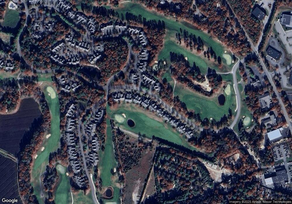
Map
Nearby Homes
- 4 Hollyhock Knoll Ct Unit 4
- 4 Hollyhock Knoll Ct Unit 4
- 5 Blue Meadow Ct Unit 5
- 12 Turnberry Rd Unit 12
- 2 Applewood Ct
- 27 Surrey Ln Unit 27
- 405 Village Dr Unit 405
- 16 Amberwood Ct
- 13 Laurel Hill Ct
- 5 Harbor Hill Dr
- 4 Harbor Hill Dr
- 5 Zoli Ln
- 44 Cotuit Rd
- 77 Roundhouse Rd Unit 77
- 17 Colony Ave
- 60 Sandwich Rd
- 10 Howard Ave
- 10 Howard Ave
- 3 Honora Ln Unit 3
- 38 Old Bridge Rd
- 64 Brookside Rd
- 66 Brookside Rd
- 66 Brookside Rd Unit 198
- 64 Brookside Rd
- 64 Brookside Rd Unit 197
- 68 Brookside Rd Unit 199
- 70 Brookside Rd Unit 200
- 68 Brookside Rd
- 70 Brookside Rd
- 62 Brookside Rd
- 60 Brookside Rd
- 62 Brookside Rd Unit 196
- 60 Brookside Rd Unit 195
- 62 Brookside Rd
- 60 Brookside Rd
- 74 Brookside Rd
- 74 Brookside Rd Unit 202
- 72 Brookside Rd Unit 201
- 74 Brookside Rd
- 72 Brookside Rd
Your Personal Tour Guide
Ask me questions while you tour the home.