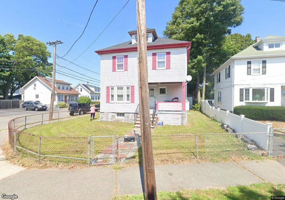
66 Curtis Ave Quincy, MA 02169
Quincy Point NeighborhoodEstimated Value: $603,817 - $614,000
4
Beds
1
Bath
1,372
Sq Ft
$444/Sq Ft
Est. Value
About This Home
This home is located at 66 Curtis Ave, Quincy, MA 02169 and is currently estimated at $608,704, approximately $443 per square foot. 66 Curtis Ave is a home located in Norfolk County with nearby schools including Point Webster Middle School, Clifford H. Marshall Elementary School, and Quincy High School.
Ownership History
Date
Name
Owned For
Owner Type
Purchase Details
Closed on
Jun 30, 1995
Sold by
Goguen Ex Irene
Bought by
Arry Catherine R
Current Estimated Value
Home Financials for this Owner
Home Financials are based on the most recent Mortgage that was taken out on this home.
Original Mortgage
$103,500
Interest Rate
7.8%
Mortgage Type
Purchase Money Mortgage
Create a Home Valuation Report for This Property
The Home Valuation Report is an in-depth analysis detailing your home's value as well as a comparison with similar homes in the area
Home Values in the Area
Average Home Value in this Area
Purchase History
| Date | Buyer | Sale Price | Title Company |
|---|---|---|---|
| Arry Catherine R | $115,000 | -- |
Source: Public Records
Mortgage History
| Date | Status | Borrower | Loan Amount |
|---|---|---|---|
| Closed | Arry Catherine R | $103,500 |
Source: Public Records
Tax History
| Year | Tax Paid | Tax Assessment Tax Assessment Total Assessment is a certain percentage of the fair market value that is determined by local assessors to be the total taxable value of land and additions on the property. | Land | Improvement |
|---|---|---|---|---|
| 2025 | $6,088 | $528,000 | $265,600 | $262,400 |
| 2024 | $5,749 | $510,100 | $252,900 | $257,200 |
| 2023 | $5,226 | $469,500 | $230,000 | $239,500 |
| 2022 | $5,148 | $429,700 | $209,100 | $220,600 |
| 2021 | $5,126 | $422,200 | $209,100 | $213,100 |
| 2020 | $4,951 | $398,300 | $197,200 | $201,100 |
| 2019 | $4,701 | $374,600 | $182,600 | $192,000 |
| 2018 | $4,585 | $343,700 | $166,000 | $177,700 |
| 2017 | $4,529 | $319,600 | $158,100 | $161,500 |
| 2016 | $4,243 | $295,500 | $143,700 | $151,800 |
| 2015 | $4,011 | $274,700 | $135,600 | $139,100 |
| 2014 | $3,896 | $262,200 | $135,600 | $126,600 |
Source: Public Records
Map
Nearby Homes
- 21 Curtis Ave
- 50 Harrison St
- 585 Washington St Unit 202
- 585 Washington St Unit 301
- 585 Washington St Unit model-1
- 107 Baxter Ave
- 27 6th Ave
- 67 Cleverly Ct
- 200 Cove Way Unit 1004
- 62 Lawn Ave
- 386 Washington St Unit 1
- 388 Washington St Unit 101
- 388 Washington St Unit 302
- 388 Washington St Unit 301
- 388 Washington St Unit 205
- 388 Washington St Unit 401
- 388 Washington St Unit 202
- 388 Washington St Unit 203
- 388 Washington St Unit 305
- 388 Washington St Unit 204
- 70 Curtis Ave
- 11 Beechwood St
- 74 Curtis Ave
- 15 Beechwood St
- 10 Beechwood St
- 58 Curtis Ave
- 61 Beechwood St
- 14 Beechwood St
- 61 Curtis Ave Unit 61
- 61 Curtis Ave
- 61 Curtis Ave Unit 1
- 59 Curtis Ave Unit 61
- 59-61 Curtis Ave
- 73 Curtis Ave
- 19 Beechwood St
- 55 Curtis Ave
- 75 Curtis Ave
- 77 Curtis Ave
- 75 Curtis Ave Unit 1
- 12 Cherry St
Your Personal Tour Guide
Ask me questions while you tour the home.