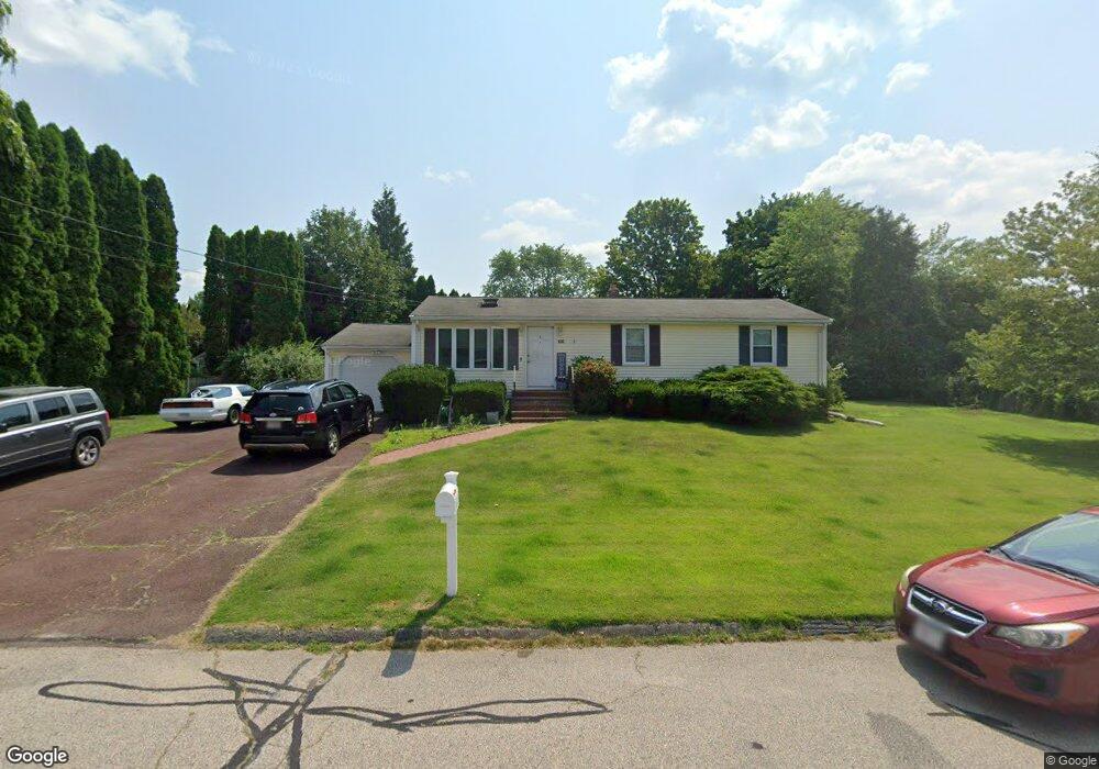
66 Mohawk Dr Seekonk, MA 02771
Estimated Value: $491,000 - $578,000
About This Home
This home is located at 66 Mohawk Dr, Seekonk, MA 02771 and is currently estimated at $527,878, approximately $478 per square foot. 66 Mohawk Dr is a home located in Bristol County with nearby schools including Seekonk High School, Ocean State Montessori School, and Providence Country Day School.
Ownership History
We collect this data history from publicly available records. To have your information removed, we recommend requesting removal directly through your county’s website.
Purchase Details
Purchase Details
Home Financials for this Owner
Home Financials are based on the most recent Mortgage that was taken out on this home.Home Values in the Area
Average Home Value in this Area
Purchase History
We collect this data history from publicly available records. To have your information removed, we recommend requesting removal directly through your county’s website.
| Date | Buyer | Sale Price | Title Company |
|---|---|---|---|
| -- | -- | ||
| $125,000 | -- |
Mortgage History
We collect this data history from publicly available records. To have your information removed, we recommend requesting removal directly through your county’s website.
| Date | Status | Borrower | Loan Amount |
|---|---|---|---|
| Previous Owner | $110,000 | ||
| Previous Owner | $108,000 |
Tax History
We collect this data history from publicly available records. To have your information removed, we recommend requesting removal directly through your county’s website.
| Year | Tax Paid | Tax Assessment Tax Assessment Total Assessment is a certain percentage of the fair market value that is determined by local assessors to be the total taxable value of land and additions on the property. | Land | Improvement |
|---|---|---|---|---|
| 2025 | $4,444 | $359,800 | $160,000 | $199,800 |
| 2024 | $4,279 | $346,500 | $160,000 | $186,500 |
| 2023 | $4,183 | $319,100 | $143,400 | $175,700 |
| 2022 | $3,917 | $293,600 | $143,400 | $150,200 |
| 2021 | $3,654 | $269,300 | $122,500 | $146,800 |
| 2020 | $3,531 | $268,100 | $122,900 | $145,200 |
| 2019 | $3,430 | $262,600 | $122,900 | $139,700 |
| 2018 | $3,370 | $252,400 | $122,900 | $129,500 |
| 2017 | $3,323 | $246,900 | $124,200 | $122,700 |
| 2016 | $3,292 | $245,500 | $124,200 | $121,300 |
| 2015 | $2,961 | $223,800 | $112,800 | $111,000 |
Map
- 21 Edgewood Rd
- 166 Mohawk Dr
- 54 Sagamore Rd
- 27 Tallwood Dr
- 155 Sagamore Rd
- 9 Tammy Jean Dr
- 36 Cynthia Rd
- 101 Jean Dr
- 454 Fall River Ave
- 19 Cypress Rd
- 42 Tee Jay Dr
- 794 County St
- 478 Fall River Ave
- 5 Luther Ave
- 22 Balmoral Ct
- 267 Chestnut St
- 26 S Wheaton Ave
- 702 Arcade Ave
- 72 N Wheaton Ave
- 70 Wheaton Ave
- 75 King Philip Rd
- 76 Mohawk Dr
- 30 Canonchet Rd
- 65 Mohawk Dr
- 20 Canonchet Rd
- 85 King Philip Rd
- 77 Mohawk Dr
- 86 Mohawk Dr
- 95 King Philip Rd
- 76 King Philip Rd
- 42 Mohawk Dr
- 87 Mohawk Dr
- 10 Canonchet Rd
- 51 King Philip Rd
- 86 King Philip Rd
- 45 Mohawk Dr
- 96 Mohawk Dr
- 103 King Philip Rd
- 96 King Philip Rd
- 52 King Philip Rd
Ask me questions while you tour the home.