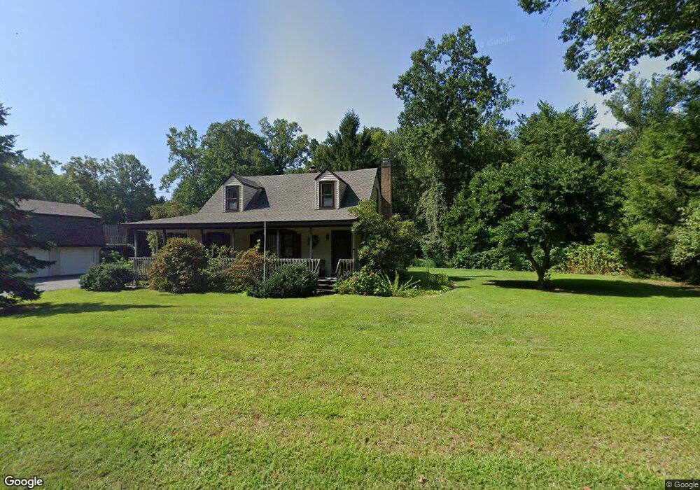
66 Westbrook Rd Deep River, CT 06417
Deep River AreaEstimated Value: $616,000 - $720,000
About This Home
This home is located at 66 Westbrook Rd, Deep River, CT 06417 and is currently estimated at $649,793. 66 Westbrook Rd is a home located in Middlesex County with nearby schools including Valley Regional High School.
Ownership History
We collect this data history from publicly available records. To have your information removed, we recommend requesting removal directly through your county’s website.
Purchase Details
Home Values in the Area
Average Home Value in this Area
Purchase History
We collect this data history from publicly available records. To have your information removed, we recommend requesting removal directly through your county’s website.
| Date | Buyer | Sale Price | Title Company |
|---|---|---|---|
| $73,500 | -- |
Mortgage History
We collect this data history from publicly available records. To have your information removed, we recommend requesting removal directly through your county’s website.
| Date | Status | Borrower | Loan Amount |
|---|---|---|---|
| Closed | $160,000 | ||
| Open | $250,000 | ||
| Closed | $50,000 | ||
| Closed | $90,500 | ||
| Closed | $100,000 |
Tax History
We collect this data history from publicly available records. To have your information removed, we recommend requesting removal directly through your county’s website.
| Year | Tax Paid | Tax Assessment Tax Assessment Total Assessment is a certain percentage of the fair market value that is determined by local assessors to be the total taxable value of land and additions on the property. | Land | Improvement |
|---|---|---|---|---|
| 2025 | $9,527 | $297,920 | $57,960 | $239,960 |
| 2024 | $9,305 | $296,520 | $57,960 | $238,560 |
| 2023 | $8,860 | $296,520 | $57,960 | $238,560 |
| 2022 | $8,593 | $296,520 | $57,960 | $238,560 |
| 2021 | $8,728 | $295,050 | $57,960 | $237,090 |
| 2020 | $8,101 | $270,130 | $60,620 | $209,510 |
| 2019 | $7,655 | $260,190 | $60,620 | $199,570 |
| 2018 | $7,041 | $239,330 | $60,620 | $178,710 |
| 2017 | $6,921 | $239,330 | $60,620 | $178,710 |
| 2016 | $6,589 | $239,330 | $60,620 | $178,710 |
| 2015 | $6,420 | $244,300 | $60,480 | $183,820 |
| 2014 | $6,322 | $244,300 | $60,480 | $183,820 |
Map
- 0 Glen Grove Rd Unit 24098210
- 16 Glen Grove Rd
- 365 Winthrop Rd
- 97 Bushy Hill Rd
- 56 Shailer Pond Rd
- 86 Bushy Hill Rd
- 9 Brooks Ln
- 58 Lynn Rd
- 22 Ebony Ln
- 88 Winthrop Rd
- 13 Lynn Rd
- 89 Falls Landing Rd
- 257 W Elm St
- 170 Dennison Rd
- 52 Pond Meadow Rd
- 6 Beechwood Dr
- 77 Scenic View Dr Unit 4
- 77 Scenic View Dr Unit 17
- 7 Mitchel Terrace
- 45 Falls River Dr
- 54 Westbrook Rd
- 17 Glen Grove Rd
- 68 Westbrook Rd
- 46 Westbrook Rd
- 71 Westbrook Rd
- 49 Westbrook Rd
- 53 Westbrook Rd
- 0 Glen Grove Rd
- Lot B Glen Grove Rd
- 21A Glen Grove Rd
- 82 Westbrook Rd
- 79 Westbrook Rd
- 35 Glen Grove Rd
- 22 Glen Grove Rd
- 32 Westbrook Rd
- 88 Westbrook Rd
- 42 Glen Grove Rd
- 48 Pinewood Trail
- 48 Glen Grove Rd
- 96 Westbrook Rd
Ask me questions while you tour the home.