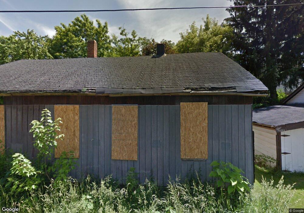
66 Woerth Ave Mansfield, OH 44902
Estimated Value: $36,000 - $100,000
2
Beds
1
Bath
864
Sq Ft
$79/Sq Ft
Est. Value
About This Home
This home is located at 66 Woerth Ave, Mansfield, OH 44902 and is currently estimated at $68,000, approximately $78 per square foot. 66 Woerth Ave is a home located in Richland County with nearby schools including St. Peter's Elementary/Montessori School, Discovery School, and St. Peter's Junior High / High School.
Ownership History
Date
Name
Owned For
Owner Type
Purchase Details
Closed on
Jun 20, 2018
Sold by
Richland County Land Reutilization Corp
Bought by
Mcdowell Dan
Current Estimated Value
Purchase Details
Closed on
Mar 28, 2016
Sold by
Dropsey Patrick W
Bought by
Richland County Land Reutilization Corpo
Purchase Details
Closed on
Oct 17, 1991
Sold by
Lewis Helen J
Bought by
Purdy Sandra L
Create a Home Valuation Report for This Property
The Home Valuation Report is an in-depth analysis detailing your home's value as well as a comparison with similar homes in the area
Home Values in the Area
Average Home Value in this Area
Purchase History
We collect this data history from publicly available records. To have your information removed, we recommend requesting removal directly through your county’s website.
| Date | Buyer | Sale Price | Title Company |
|---|---|---|---|
| Mcdowell Dan | -- | None Available | |
| Richland County Land Reutilization Corpo | -- | None Available | |
| Purdy Sandra L | -- | -- |
Source: Public Records
Tax History
| Year | Tax Paid | Tax Assessment Tax Assessment Total Assessment is a certain percentage of the fair market value that is determined by local assessors to be the total taxable value of land and additions on the property. | Land | Improvement |
|---|---|---|---|---|
| 2025 | $90 | $1,870 | $1,870 | $0 |
| 2024 | $90 | $1,870 | $1,870 | $0 |
| 2023 | $90 | $1,870 | $1,870 | $0 |
| 2022 | $103 | $1,800 | $1,800 | $0 |
| 2021 | $104 | $1,800 | $1,800 | $0 |
| 2020 | $106 | $1,800 | $1,800 | $0 |
| 2019 | $100 | $1,530 | $1,530 | $0 |
| 2018 | $418 | $6,500 | $1,910 | $4,590 |
| 2017 | $332 | $6,500 | $1,910 | $4,590 |
| 2016 | $256 | $3,970 | $1,470 | $2,500 |
| 2015 | $245 | $3,970 | $1,470 | $2,500 |
| 2014 | $242 | $3,970 | $1,470 | $2,500 |
| 2012 | $185 | $3,960 | $1,540 | $2,420 |
Source: Public Records
Map
Nearby Homes
- 131 Home Ave
- 212 S Main St
- 394 S Main St
- 74 & 78 Lexington Ave
- 205 Hedges St
- 167 S Adams St
- 128 Hedges St
- 219 Lexington Ave
- 146 E 1st St
- 519 S Diamond St
- 163 E 1st St
- 268 Superior St
- 775 S Walnut Dr
- 201 Walter Ave
- 0 Cline Ave Hedeen Abbeyfeale Unit 9066362
- 475 Beethoven St
- 229 E 1st St
- 34 W Raleigh Ave
- 352 Remy Ave
- 571 Luther St
- 67 Granite St
- 302 Altamont Ave
- 63 Granite St
- 65 Woerth Ave
- 306 Altamont Ave
- 292 Altamont Ave
- 55 Granite St
- 61 Woerth Ave
- 68 Granite St
- 62 Granite St
- 316 Altamont Ave
- 53 Granite St
- 60 Granite St
- 285 Hammond Ave
- 49 Granite St
- 275 Hammond Ave
- 320 Altamont Ave
- 279 Hammond Ave
- 308 S Diamond St
- 309 Hammond Ave
Your Personal Tour Guide
Ask me questions while you tour the home.