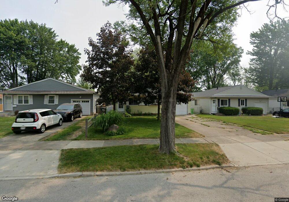
660 Wesley Dr Berea, OH 44017
Berea AreaEstimated Value: $163,000 - $195,000
About This Home
This home is located at 660 Wesley Dr, Berea, OH 44017 and is currently estimated at $179,817, approximately $178 per square foot. 660 Wesley Dr is a home located in Cuyahoga County with nearby schools including Grindstone Elementary School, Berea-Midpark Middle School, and Berea-Midpark High School.
Ownership History
We collect this data history from publicly available records. To have your information removed, we recommend requesting removal directly through your county’s website.
Purchase Details
Home Financials for this Owner
Home Financials are based on the most recent Mortgage that was taken out on this home.Purchase Details
Purchase Details
Home Values in the Area
Average Home Value in this Area
Purchase History
We collect this data history from publicly available records. To have your information removed, we recommend requesting removal directly through your county’s website.
| Date | Buyer | Sale Price | Title Company |
|---|---|---|---|
| $105,000 | Midland Title Agency | ||
| -- | -- | ||
| -- | -- |
Mortgage History
We collect this data history from publicly available records. To have your information removed, we recommend requesting removal directly through your county’s website.
| Date | Status | Borrower | Loan Amount |
|---|---|---|---|
| Open | $5,301 | ||
| Open | $103,377 | ||
| Previous Owner | $50,000 | ||
| Previous Owner | $45,000 |
Tax History
We collect this data history from publicly available records. To have your information removed, we recommend requesting removal directly through your county’s website.
| Year | Tax Paid | Tax Assessment Tax Assessment Total Assessment is a certain percentage of the fair market value that is determined by local assessors to be the total taxable value of land and additions on the property. | Land | Improvement |
|---|---|---|---|---|
| 2025 | $3,369 | $42,735 | $10,850 | $31,885 |
| 2024 | $3,051 | $42,735 | $10,850 | $31,885 |
| 2023 | $2,921 | $42,290 | $9,420 | $32,870 |
| 2022 | $2,902 | $42,280 | $9,420 | $32,870 |
| 2021 | $2,878 | $42,280 | $9,420 | $32,870 |
| 2020 | $2,749 | $35,840 | $7,980 | $27,860 |
| 2019 | $2,676 | $102,400 | $22,800 | $79,600 |
| 2018 | $2,477 | $35,840 | $7,980 | $27,860 |
| 2017 | $2,465 | $30,810 | $6,690 | $24,120 |
| 2016 | $2,447 | $30,810 | $6,690 | $24,120 |
| 2015 | $2,244 | $30,810 | $6,690 | $24,120 |
| 2014 | $2,244 | $29,900 | $6,480 | $23,420 |
Map
- 21 Lincoln Ave
- 81 Fillier St
- 270 Riveredge Pkwy
- 403 Barrett Rd
- 889 Grayton Rd
- 20468 Williamsburg Ct Unit 208C
- 20466 Williamsburg Ct Unit 208B
- 369 Fern Dr
- 221 Mulberry St
- 449 Birchwood Dr
- 6852 Eastland Rd
- 20325 Williamsburg Ct Unit 310B
- 15 E Grand St
- 82 Stonesthrow Dr
- 525 Abbyshire Dr
- 145 Edgewood Dr
- 105 Limestone Ct
- 235 Fair St
- 231 Sunset Dr
- 106 Clay Ct
- 620 Longfellow Dr
- 622 Longfellow Dr
- 614 Longfellow Dr
- 628 Longfellow Dr
- 610 Longfellow Dr
- 634 Longfellow Dr
- 600 Longfellow Dr
- 645 Wesley Dr
- 0 Longfellow Dr Unit 4017346
- 0 Longfellow Dr Unit 3871499
- VL Longfellow Dr
- 653 Wesley Dr
- 639 Wesley Dr
- 613 Longfellow Dr
- 633 Wesley Dr
- 601 Longfellow Dr
- 611 Longfellow Dr
- 607 Longfellow Dr
- 661 Wesley Dr
- 629 Wesley Dr
Ask me questions while you tour the home.