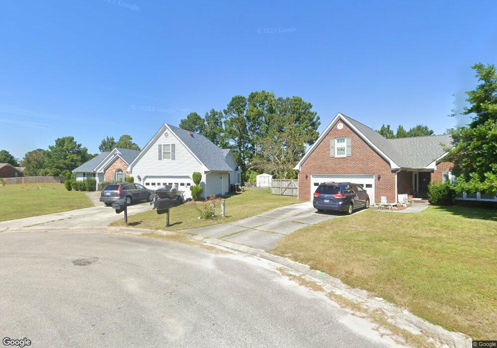
6603 Rowsgate Ln Wilmington, NC 28411
Estimated Value: $436,951 - $464,000
2
Beds
2
Baths
2,085
Sq Ft
$216/Sq Ft
Est. Value
About This Home
This home is located at 6603 Rowsgate Ln, Wilmington, NC 28411 and is currently estimated at $449,488, approximately $215 per square foot. 6603 Rowsgate Ln is a home located in New Hanover County with nearby schools including Murrayville Elementary School, Emma B. Trask Middle School, and Emsley A. Laney High School.
Ownership History
Date
Name
Owned For
Owner Type
Purchase Details
Closed on
Jul 2, 2004
Sold by
Herring Hayes Iii Kimberly B
Bought by
Banks Bolden Jr Lashanda B
Current Estimated Value
Purchase Details
Closed on
Jul 1, 1996
Sold by
Omni Homes Inc
Bought by
Herring Hayes
Purchase Details
Closed on
Aug 22, 1995
Sold by
Coastal Carolina Dev Inc
Bought by
Omni Homes Inc
Purchase Details
Closed on
Jul 1, 1988
Bought by
Coastal Carolina Dev Inc
Create a Home Valuation Report for This Property
The Home Valuation Report is an in-depth analysis detailing your home's value as well as a comparison with similar homes in the area
Home Values in the Area
Average Home Value in this Area
Purchase History
| Date | Buyer | Sale Price | Title Company |
|---|---|---|---|
| Banks Bolden Jr Lashanda B | $185,000 | -- | |
| Herring Hayes | $163,000 | -- | |
| Omni Homes Inc | $60,000 | -- | |
| Coastal Carolina Dev Inc | -- | -- |
Source: Public Records
Tax History
| Year | Tax Paid | Tax Assessment Tax Assessment Total Assessment is a certain percentage of the fair market value that is determined by local assessors to be the total taxable value of land and additions on the property. | Land | Improvement |
|---|---|---|---|---|
| 2025 | $1,805 | $457,500 | $121,600 | $335,900 |
| 2023 | $1,569 | $287,400 | $73,100 | $214,300 |
| 2022 | $1,584 | $287,400 | $73,100 | $214,300 |
| 2021 | $1,586 | $287,400 | $73,100 | $214,300 |
| 2020 | $1,352 | $213,800 | $47,300 | $166,500 |
| 2019 | $1,352 | $213,800 | $47,300 | $166,500 |
| 2018 | $1,352 | $213,800 | $47,300 | $166,500 |
| 2017 | $1,384 | $213,800 | $47,300 | $166,500 |
| 2016 | $1,392 | $200,900 | $47,300 | $153,600 |
| 2015 | $1,294 | $200,900 | $47,300 | $153,600 |
| 2014 | $1,272 | $200,900 | $47,300 | $153,600 |
Source: Public Records
Map
Nearby Homes
- 802 Caspian Ct
- 1002 Sheffield Dr
- 6645 Shire Ln
- 6641 Shire Ln
- 2401 White Rd
- 2312 Sunnyside Dr
- 2217 Loblolly Ct
- 2502 Newry Ln
- 704 Autumn Leaves Ct
- 7129 Thurgood Rd
- 2712 White Rd
- 1320 Brookside Gardens Dr
- 131 Meadowood Dr
- 2107 White Rd
- 819 Bay Blossom Dr
- 133 Woodberry Ct
- 620 Indian Wells Way
- 6701 Murrayville
- Lot 184 Murrayville Rd
- 1934 Gordon Acres Dr
- 6601 Rowsgate Ln
- 6605 Rowsgate Ln
- 6604 Newbury Way
- 6608 Newbury Way
- 6606 Rowsgate Ln
- 6600 Newbury Way
- 6612 Newbury Way
- 6600 Rowsgate Ln
- 5935 Rowsgate Ln
- 6616 Newbury Way
- 6602 Rowsgate Ln
- 6504 Newbury Way
- 5936 Rowsgate Ln
- 5929 Rowsgate Ln
- 901 Rectory Ct
- 6620 Newbury Way
- 900 Rectory Ct
- 6502 Newbury Way
- 6601 Newbury Way
- 5925 Rowsgate Ln
Your Personal Tour Guide
Ask me questions while you tour the home.