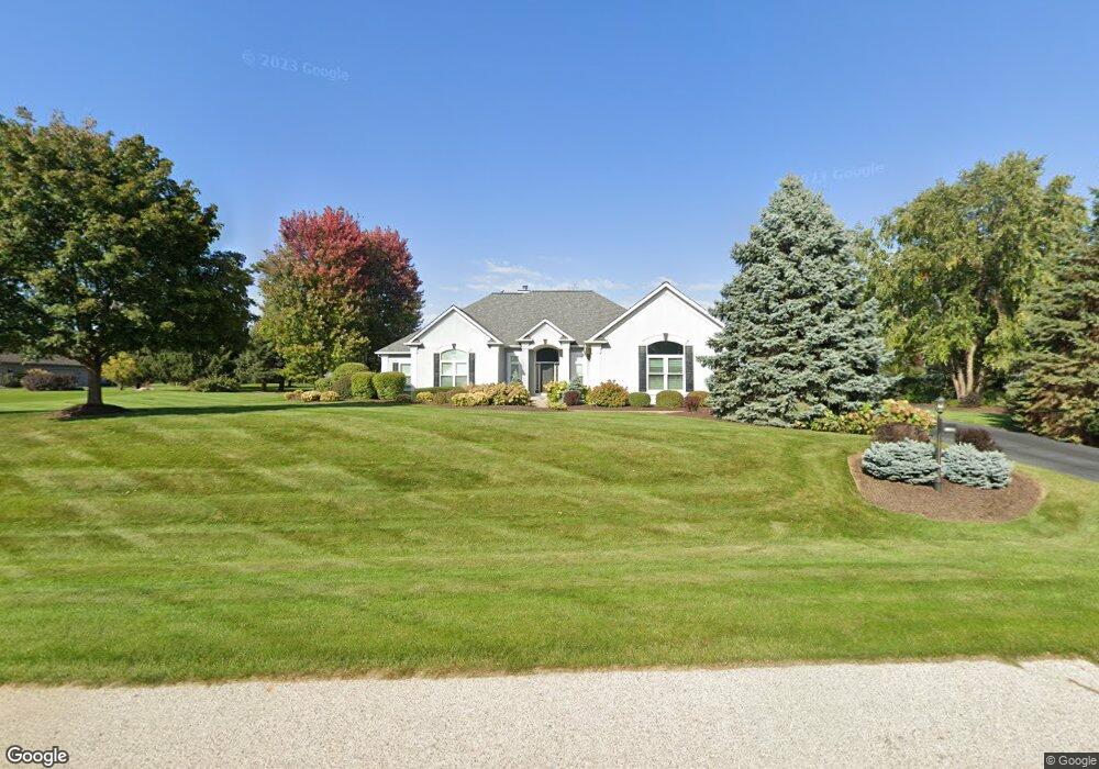
6604 Burning Tree Cir McHenry, IL 60050
Estimated Value: $547,499 - $592,000
About This Home
This home is located at 6604 Burning Tree Cir, McHenry, IL 60050 and is currently estimated at $568,625, approximately $214 per square foot. 6604 Burning Tree Cir is a home located in McHenry County with nearby schools including Valley View Elementary School and Parkland School.
Ownership History
We collect this data history from publicly available records. To have your information removed, we recommend requesting removal directly through your county’s website.
Purchase Details
Purchase Details
Home Financials for this Owner
Home Financials are based on the most recent Mortgage that was taken out on this home.Purchase Details
Purchase Details
Purchase Details
Home Values in the Area
Average Home Value in this Area
Purchase History
We collect this data history from publicly available records. To have your information removed, we recommend requesting removal directly through your county’s website.
| Date | Buyer | Sale Price | Title Company |
|---|---|---|---|
| -- | Attorney | ||
| $430,000 | Ticor | ||
| -- | -- | ||
| $70,000 | -- | ||
| $78,000 | -- |
Mortgage History
We collect this data history from publicly available records. To have your information removed, we recommend requesting removal directly through your county’s website.
| Date | Status | Borrower | Loan Amount |
|---|---|---|---|
| Open | $344,000 |
Tax History
We collect this data history from publicly available records. To have your information removed, we recommend requesting removal directly through your county’s website.
| Year | Tax Paid | Tax Assessment Tax Assessment Total Assessment is a certain percentage of the fair market value that is determined by local assessors to be the total taxable value of land and additions on the property. | Land | Improvement |
|---|---|---|---|---|
| 2024 | $13,768 | $170,760 | $12,759 | $158,001 |
| 2023 | $13,393 | $152,984 | $11,431 | $141,553 |
| 2022 | $12,912 | $141,928 | $23,481 | $118,447 |
| 2021 | $12,345 | $132,173 | $21,867 | $110,306 |
| 2020 | $11,949 | $126,663 | $20,955 | $105,708 |
| 2019 | $11,784 | $120,276 | $19,898 | $100,378 |
| 2018 | $13,333 | $122,347 | $20,241 | $102,106 |
| 2017 | $12,846 | $114,826 | $18,997 | $95,829 |
| 2016 | $12,459 | $107,314 | $17,754 | $89,560 |
| 2013 | -- | $105,656 | $17,480 | $88,176 |
Map
- 6712 Burning Tree Cir
- 6503 Tustamena Trail
- 810 Woodridge Trail
- 7111 Forest Oak Dr
- 706 Silver Glen Rd
- 7212 Forest Oak Dr
- Lot 57 Chickaloon Dr
- 6205 Katmai Trail
- 6508 Waterford Dr
- 7319 Forest Oak Dr
- 7408 Forest Oak Dr
- 7407 Forest Oak Dr
- 7508 Forest Oak Dr
- 1028 Draper Rd
- 6517 Donegal Ln
- 1416 Draper Rd
- 5928 Bluegrass Trail
- 6814 Homestead Dr
- 1200 Draper Rd
- Lot 2-3-4 N Valley Hill Rd
- 6823 Burning Tree Cir
- 6805 Burning Tree Cir
- 6829 Burning Tree Cir
- 6808 Burning Tree Cir
- 6824 Burning Tree Cir
- 6610 Burning Tree Cir
- 6618 Burning Tree Cir
- 6607 Burning Tree Cir
- 6906 Burning Tree Cir
- 6715 Burning Tree Cir
- 6519 Burning Tree Cir Unit 3
- 6611 Burning Tree Cir
- 6921 Burning Tree Cir
- 6718 Burning Tree Cir
- 6512 Burning Tree Cir
- 6928 Burning Tree Cir Unit 2
- 6615 Burning Tree Cir
- 6513 Burning Tree Cir
- 6702 Burning Tree Cir
- 7009 Burning Tree Cir
Ask me questions while you tour the home.