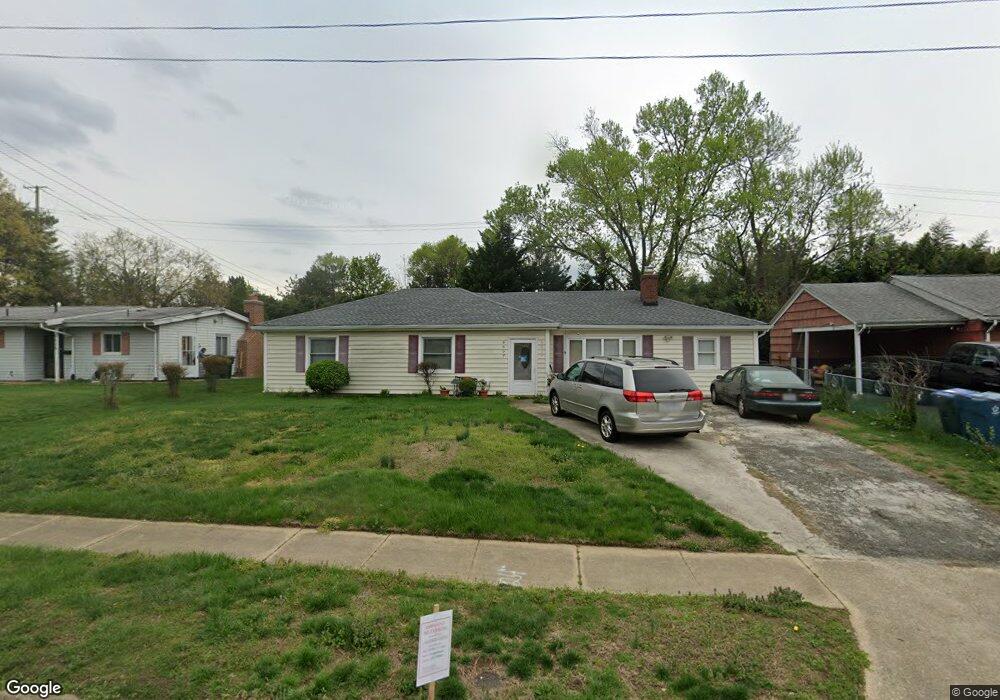
6607 Buckskin St Springfield, VA 22150
Springtown NeighborhoodEstimated Value: $600,000 - $665,000
About This Home
This home is located at 6607 Buckskin St, Springfield, VA 22150 and is currently estimated at $624,949, approximately $407 per square foot. 6607 Buckskin St is a home located in Fairfax County with nearby schools including Springfield Estates Elementary School, Key Middle, and Lewis High School.
Ownership History
We collect this data history from publicly available records. To have your information removed, we recommend requesting removal directly through your county’s website.
Purchase Details
Home Financials for this Owner
Home Financials are based on the most recent Mortgage that was taken out on this home.Purchase Details
Home Financials for this Owner
Home Financials are based on the most recent Mortgage that was taken out on this home.Home Values in the Area
Average Home Value in this Area
Purchase History
We collect this data history from publicly available records. To have your information removed, we recommend requesting removal directly through your county’s website.
| Date | Buyer | Sale Price | Title Company |
|---|---|---|---|
| $490,000 | -- | ||
| $220,000 | -- |
Mortgage History
We collect this data history from publicly available records. To have your information removed, we recommend requesting removal directly through your county’s website.
| Date | Status | Borrower | Loan Amount |
|---|---|---|---|
| Open | $151,000 | ||
| Closed | $180,000 | ||
| Open | $490,000 | ||
| Previous Owner | $218,275 |
Tax History
We collect this data history from publicly available records. To have your information removed, we recommend requesting removal directly through your county’s website.
| Year | Tax Paid | Tax Assessment Tax Assessment Total Assessment is a certain percentage of the fair market value that is determined by local assessors to be the total taxable value of land and additions on the property. | Land | Improvement |
|---|---|---|---|---|
| 2025 | $6,128 | $549,840 | $275,000 | $274,840 |
| 2024 | $6,128 | $528,970 | $265,000 | $263,970 |
| 2023 | $5,710 | $505,960 | $251,000 | $254,960 |
| 2022 | $5,279 | $461,690 | $227,000 | $234,690 |
| 2021 | $4,833 | $411,860 | $190,000 | $221,860 |
| 2020 | $4,715 | $398,400 | $183,000 | $215,400 |
| 2019 | $4,464 | $377,170 | $173,000 | $204,170 |
| 2018 | $4,235 | $368,220 | $170,000 | $198,220 |
| 2017 | $4,064 | $350,010 | $161,000 | $189,010 |
| 2016 | $4,055 | $350,010 | $161,000 | $189,010 |
| 2015 | $3,806 | $341,010 | $161,000 | $180,010 |
| 2014 | $3,454 | $310,230 | $142,000 | $168,230 |
Map
- 6113 Pioneer Dr
- 6430 Franconia Rd
- 6426 Deepford St
- 6423 Cabell Ct
- 6270 Levi Ct
- 6501 Terry Dr
- 6355 Willowfield Way
- 6388 Trips Way
- 6385 Stagg Ct
- 5910 Flanders St
- 6951 Essex Ave
- 7094 Spring Garden Dr Unit 202
- 7094 Spring Garden Dr Unit 2
- 7097 Spring Garden Dr Unit 101
- 6409 Nice Place
- 6416 Fleetside Ct
- 6014 Hibbling Ave
- 6268 Wills St
- 5907 Camberly Ave
- 6103 Dinwiddie St
- 6318 Alamo St
- 6316 Alamo St
- 6608 Buckskin St
- 6319 Abilene St
- 6317 Abilene St
- 6612 Buckskin St
- 6314 Alamo St
- 6319 Alamo St
- 6317 Alamo St
- 6604 Buckskin St
- 6315 Abilene St
- 6315 Alamo St
- 6312 Alamo St
- 6609 Buckskin St
- 6313 Abilene St
- 6611 Buckskin St
- 6313 Alamo St
- 6318 Abilene St
- 6605 Buckskin St
- 6318 Frontier Dr
Ask me questions while you tour the home.